If your ideal Bainbridge afternoon includes a paved waterfront walk, ferry watching, and a touch of history, Fort Ward delivers. You want easy shoreline access, clear trail options, and the real feel of the neighborhood before you commit to a visit or a home search. In this guide you will find a simple overview of Fort Ward’s parks, trails, shoreline activities, safety tips, and everyday rhythms. Let’s dive in.
Fort Ward at a glance
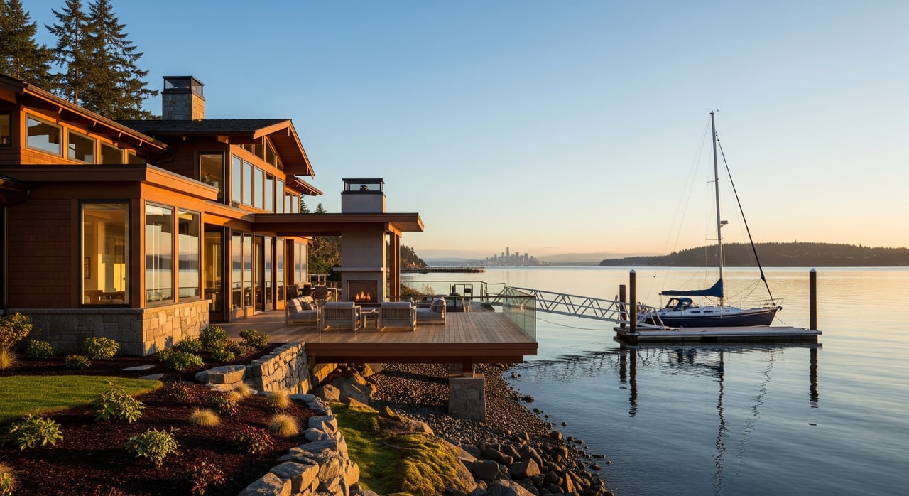
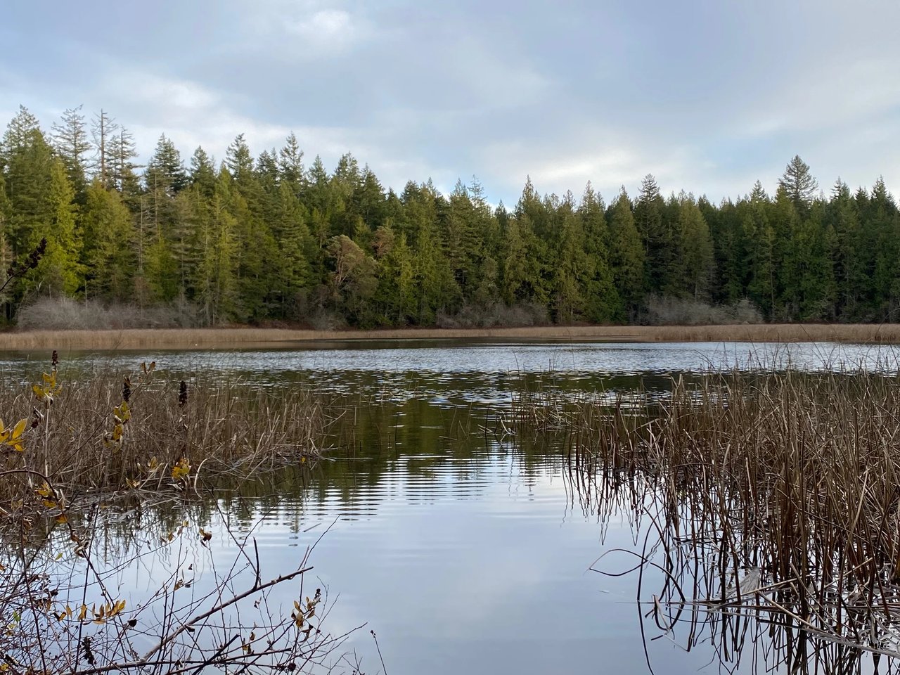
Set on the south end of Bainbridge Island in ZIP 98110, Fort Ward centers on a large marine park with forested shoreline, historic military remnants, and neighborhood streets that ring a former parade ground. The park spans about 137 acres with roughly 4,300 feet of Rich Passage shoreline. You will find day-use spaces, trails, and a restored community hall that give the area a layered, lived-in character. For current park details and maps, start with the official Fort Ward Park page from Bainbridge Island Metro Parks.
Shoreline parks and access
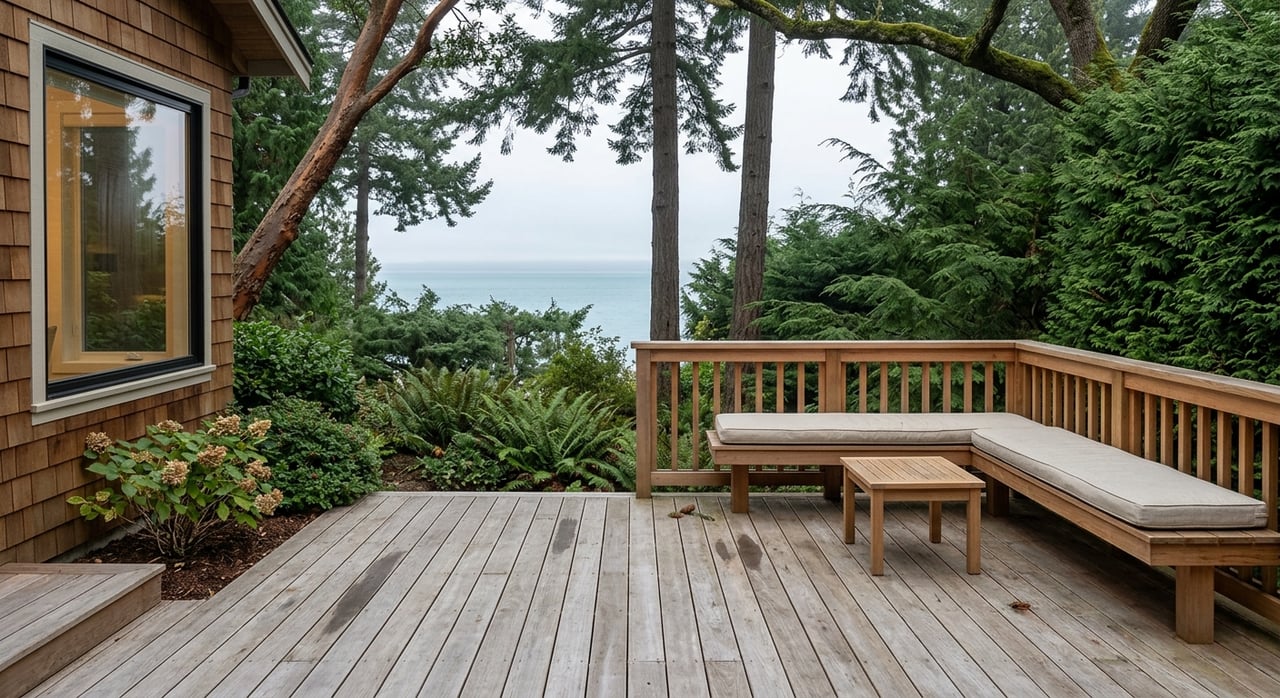
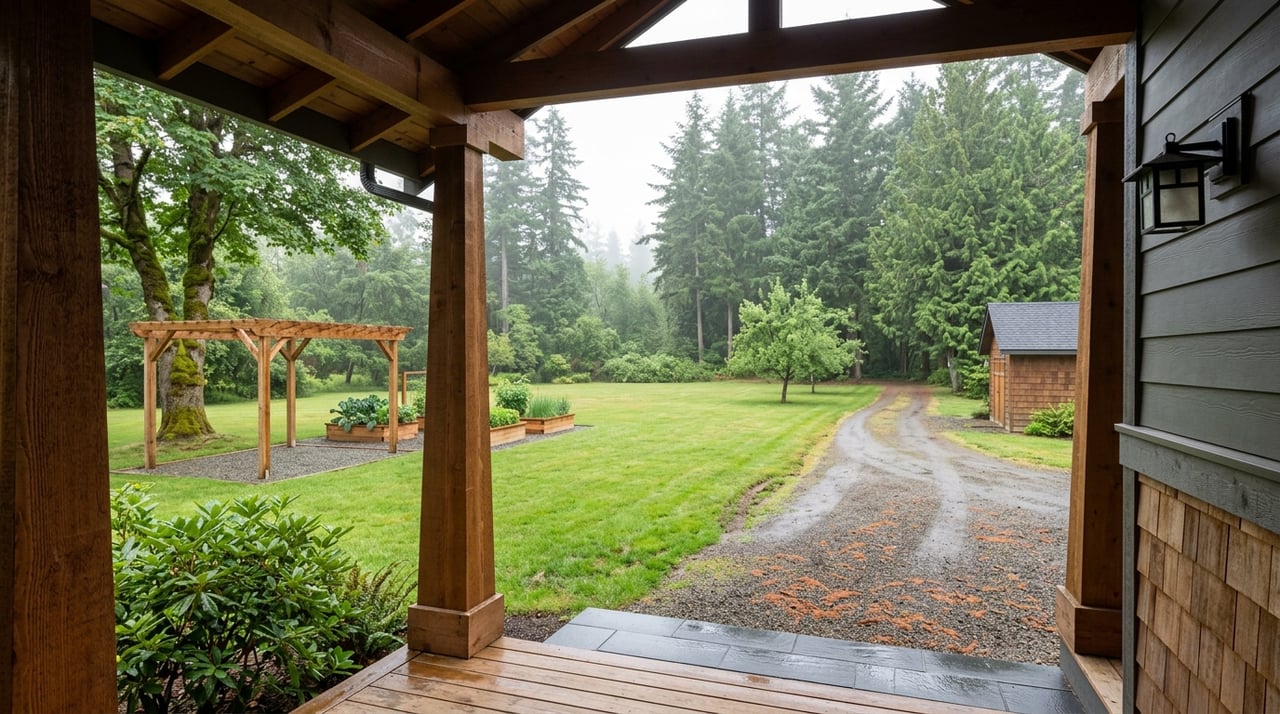
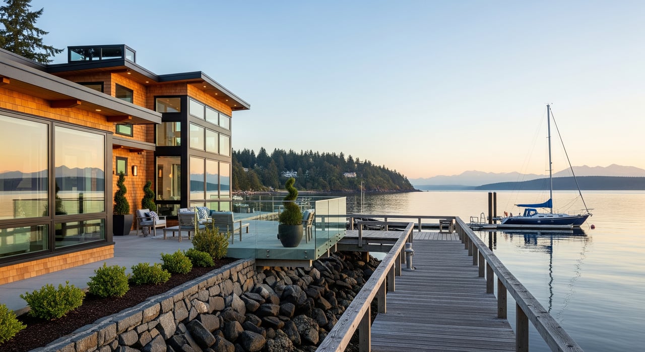
Fort Ward Park is designed for day use with multiple picnic spots, a paved shoreline path, vault toilets, and water access. The upper picnic area is reachable by car, while the lower picnic area and beaches are typically accessed on foot or by bicycle from the waterfront path. A concrete public boat ramp serves local boaters, and the parking area is modest, so plan ahead. For a quick ramp overview and a sense of capacity, regional guides like this Fort Ward overview note limited trailer parking.
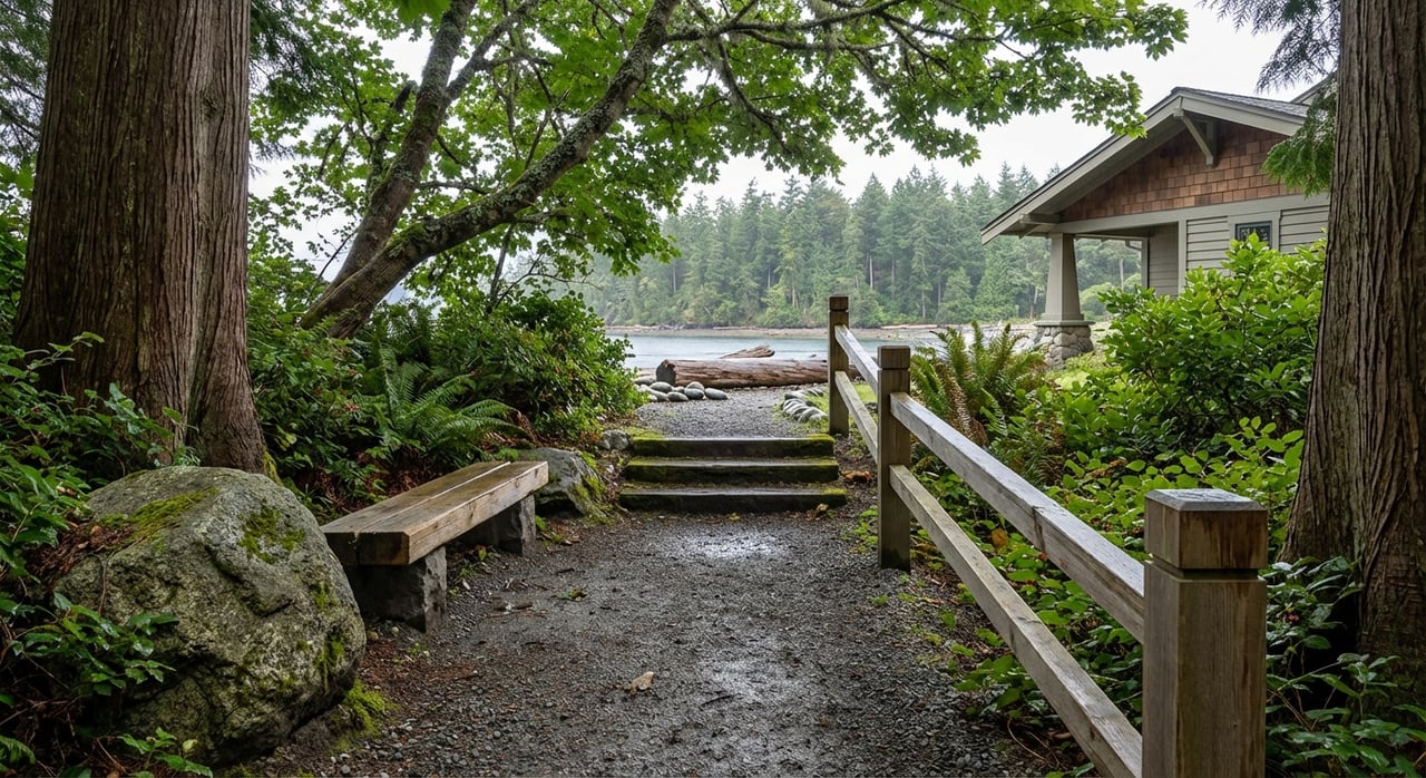
Trails you can actually walk
You can stroll a long, paved walkway that hugs the Rich Passage shoreline, with side paths that climb into the trees. The park’s network also links into the south-island system, including the Fort Ward–Blakely Harbor Trail. That means you can choose a short outing or a longer loop toward Blakely Harbor and Eagledale connections. Check the park district’s Fort Ward page for route maps and current notices before you go.
On the water: paddling, clamming, and scuba
The shoreline supports simple beach walks, birdwatching, and tide pooling during low tides. In season, you may see locals harvesting clams, and there are popular kayak put-ins along the beach. Fort Ward is also known in diving circles, with Orchard Rocks often mentioned in local dive guides. For human-powered travelers, there is a primitive Cascadia Marine Trail campsite for paddlers within the park, as described by the Washington Water Trails Association.
Safety in Rich Passage
Rich Passage is an active tidal channel with frequent ferry and commercial traffic. Currents can be strong, and conditions change fast. If you plan to kayak, free-dive, or beach-launch a small craft, build your day around tide and current tables and give ferries and larger vessels a wide berth. The Cascadia Marine Trail notes are a helpful reminder to use caution and plan conservatively in this area.
History in the trees
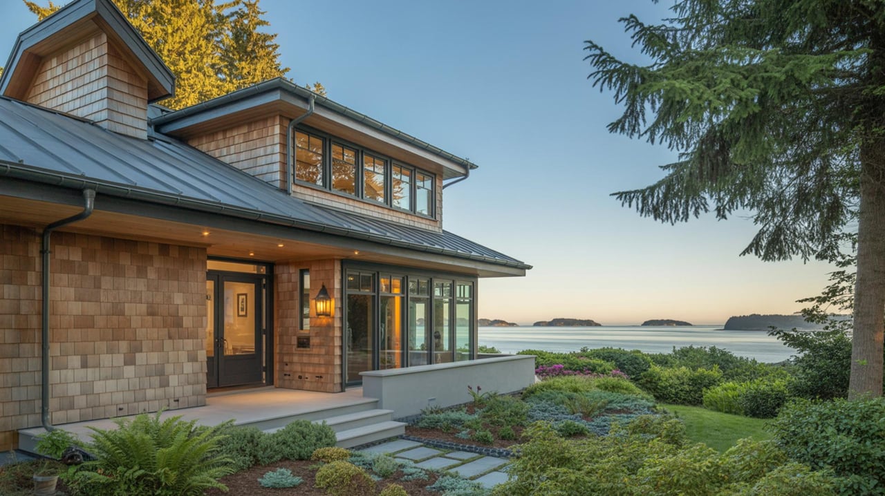
Fort Ward began as a U.S. coastal defense post in the early 1900s, later becoming a World War II naval radio and training facility with a classified listening post known as “Station S.” You will see remnants of concrete batteries and a handful of brick structures that hint at its past. For a concise narrative, see the region’s history summary on HistoryLink.
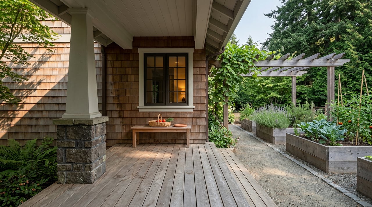
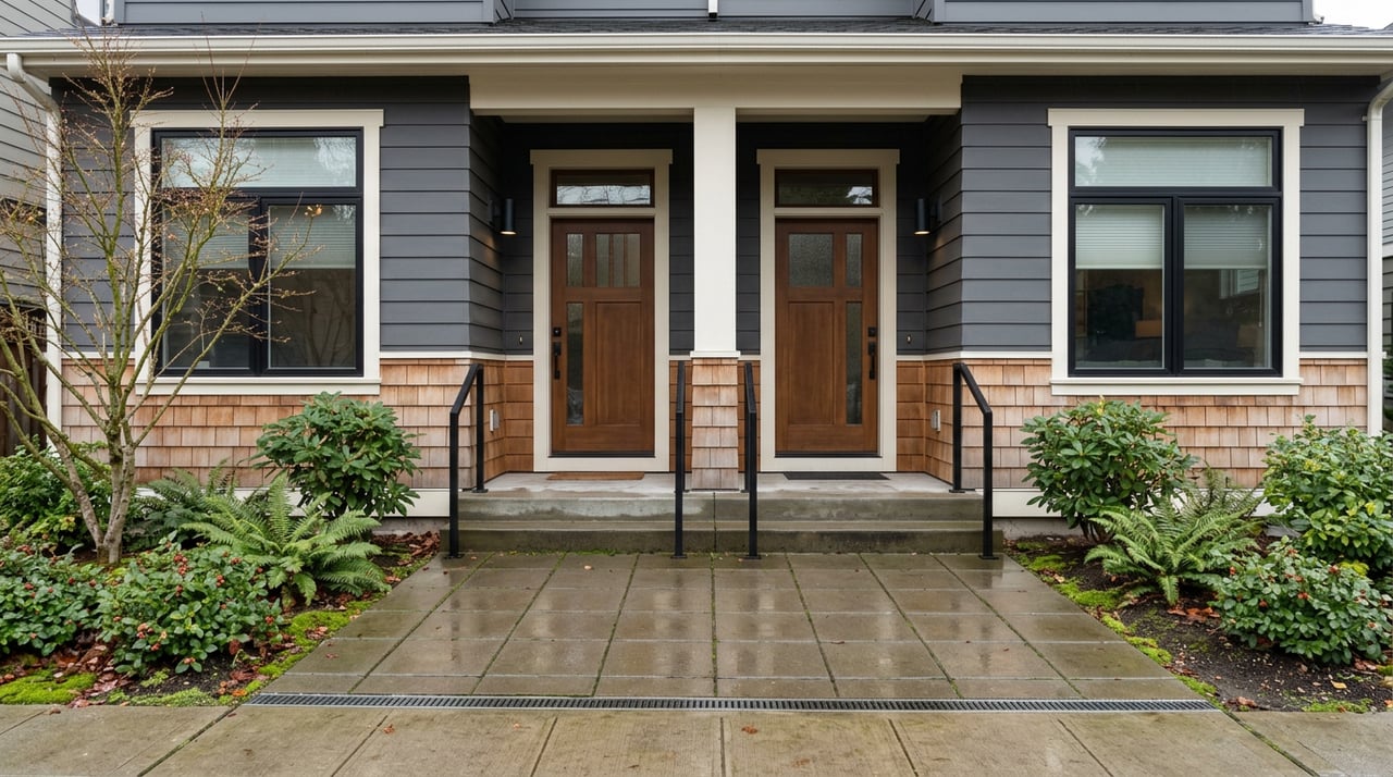
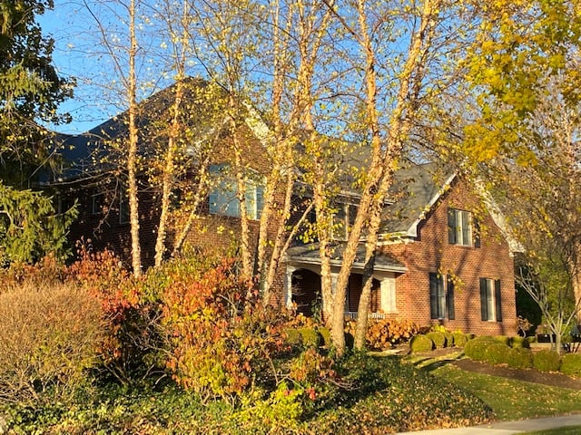
Around the former parade ground you will notice single-family homes and several surviving brick buildings that have been adapted to residential and community uses. The neighborhood’s restored gathering space, Fort Ward Community Hall, reflects this military-to-civilian evolution, captured in the RevisitWA profile of Fort Ward. If you want added context, the Bainbridge History Museum’s military history page is another solid local resource.
Playground and preservation context
A newer playground near the parade ground has drawn local interest and discussion from preservation groups. For background on the public process and historic review, the local press has covered the debate, including a report in the Bainbridge Review. If you are planning a visit with kids in mind, check the park district for the latest operations updates.
Daily rhythm and nearby amenities
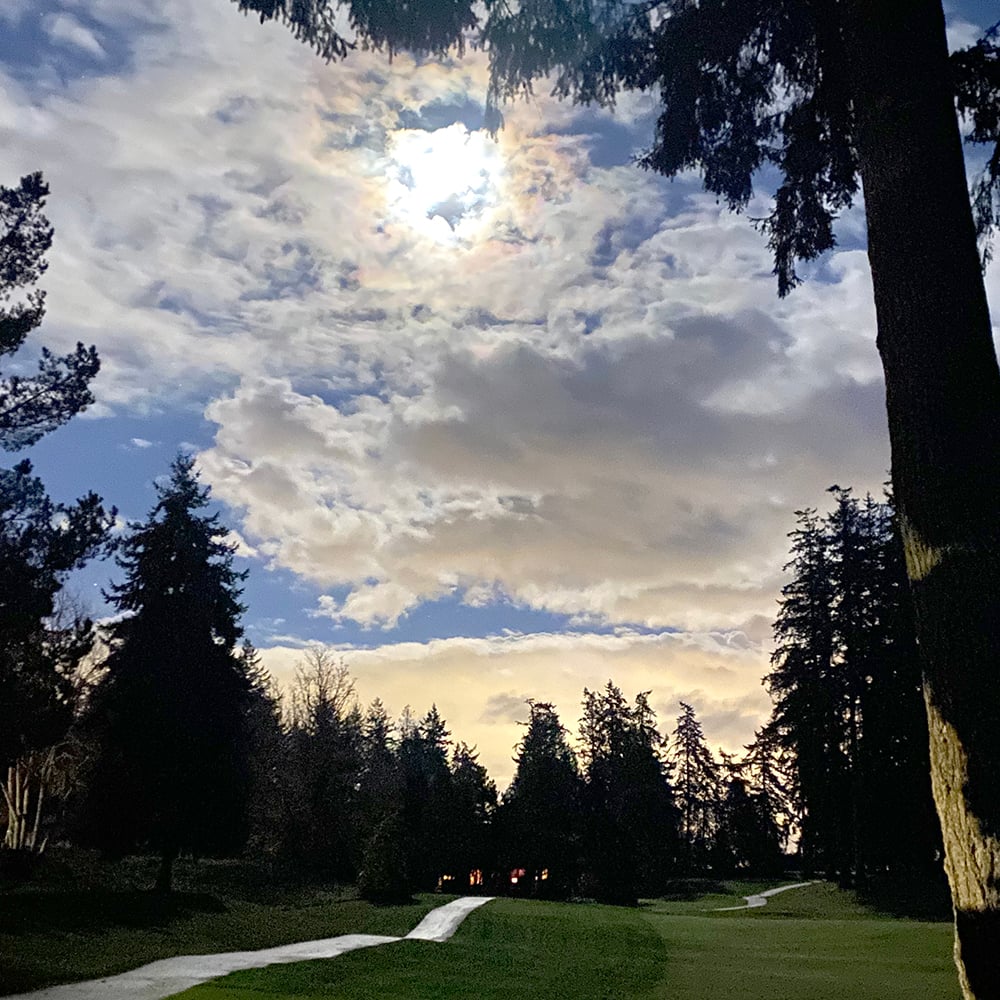
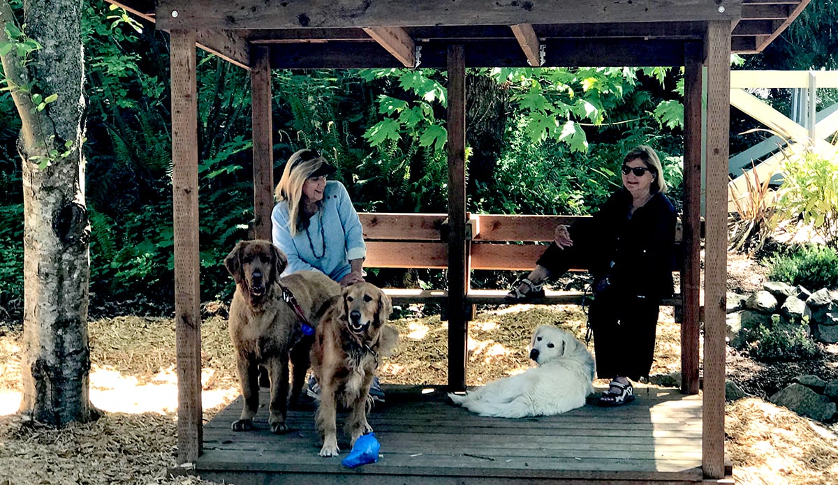
Life here feels quiet and outdoorsy. You will see people walking dogs on the paved shoreline path, picnicking, tide pooling, or watching ferries move through Rich Passage. The parade-ground green is a recognizable neighborhood space, and the hall hosts periodic community gatherings.
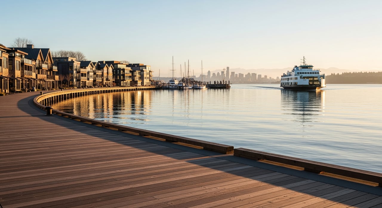
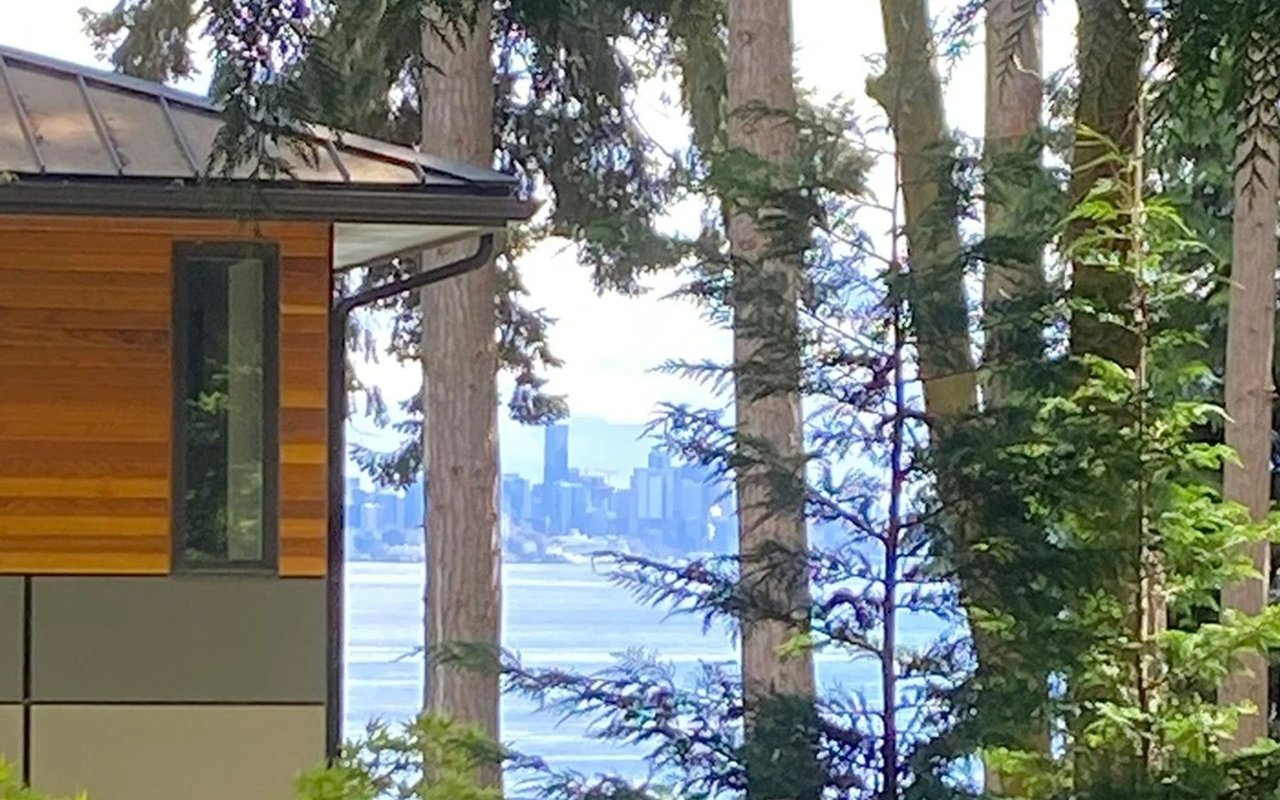
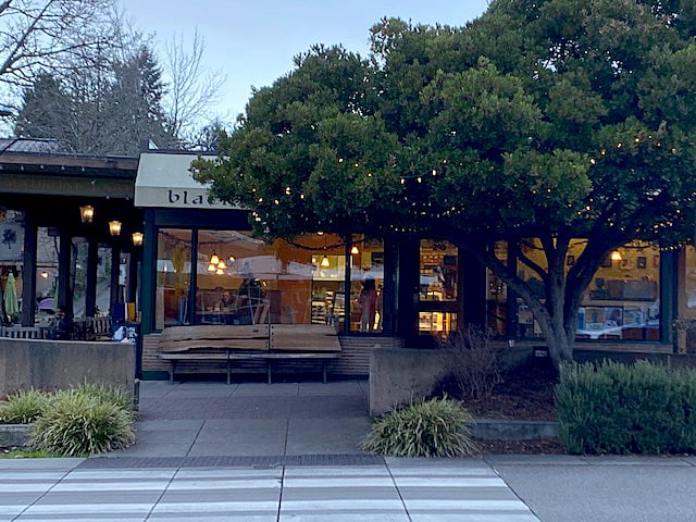
For services, Lynwood Center and Pleasant Beach village offer restaurants, a small market, and everyday conveniences. For a fuller range of shopping, galleries, and municipal services, Winslow is the island’s main commercial core and ferry terminal. Fort Ward sits a short drive from the terminal, often around 10 to 15 minutes depending on your exact address and traffic. The Seattle to Bainbridge crossing is commonly noted at roughly 30 to 35 minutes one way. Kitsap Transit runs routes on parts of the island that connect to Winslow, so you have options. Always check current schedules before you go.
Housing snapshot and streetscape
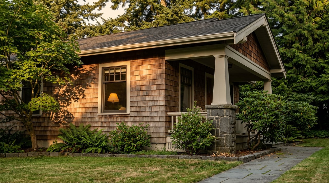
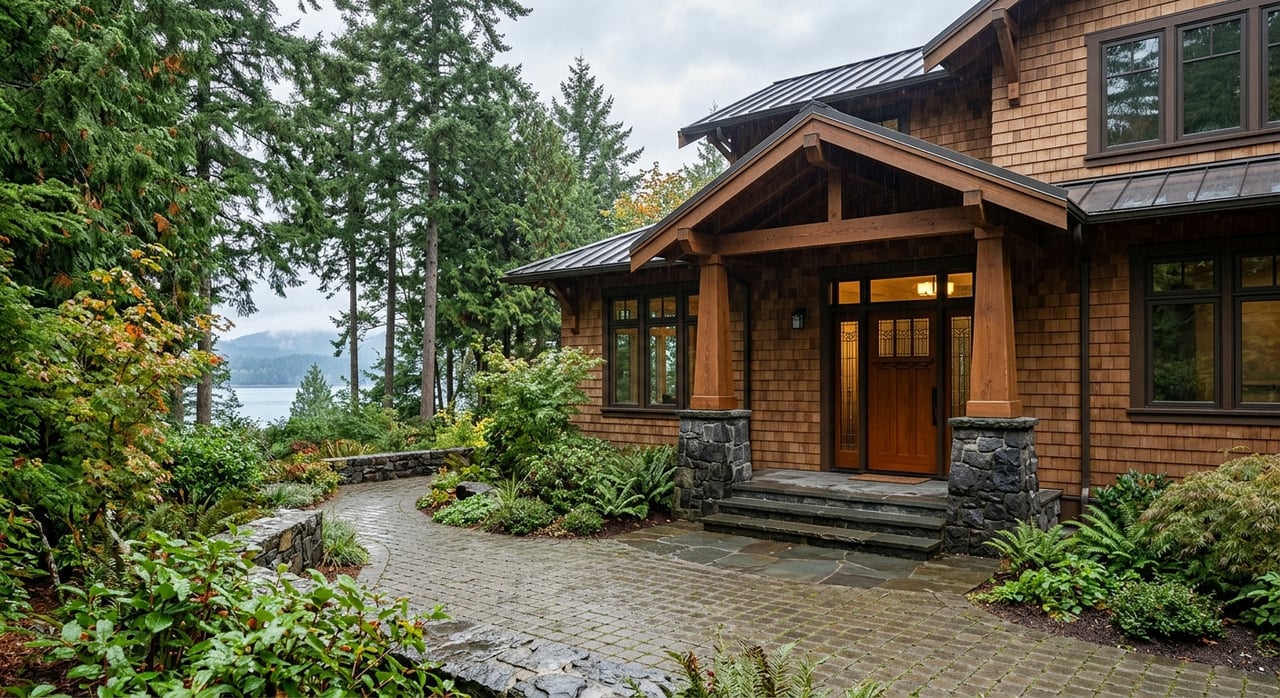
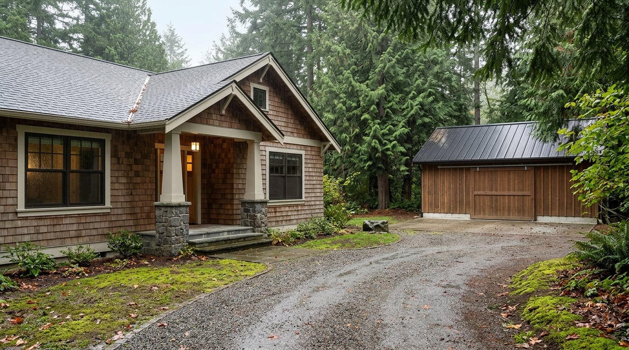
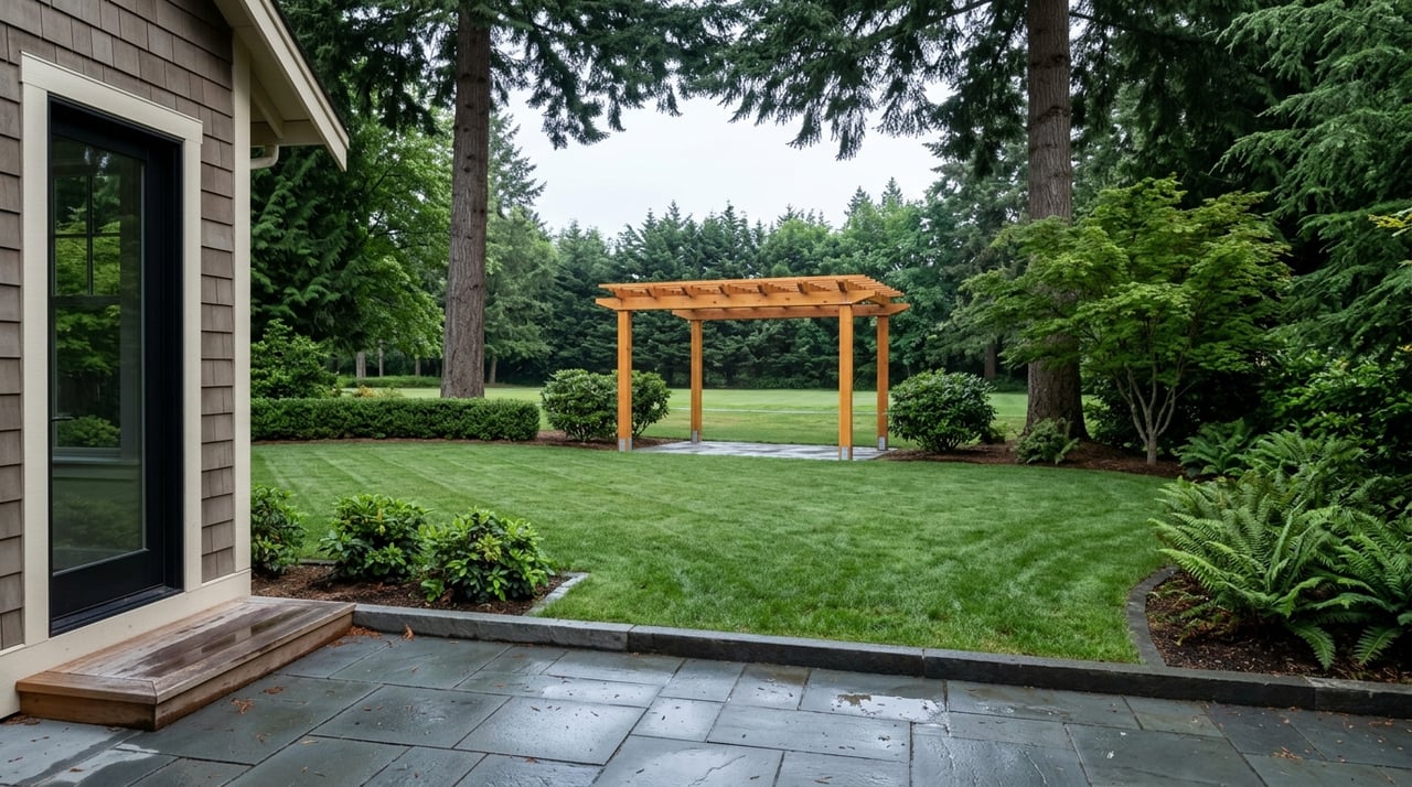
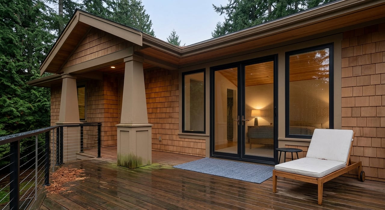
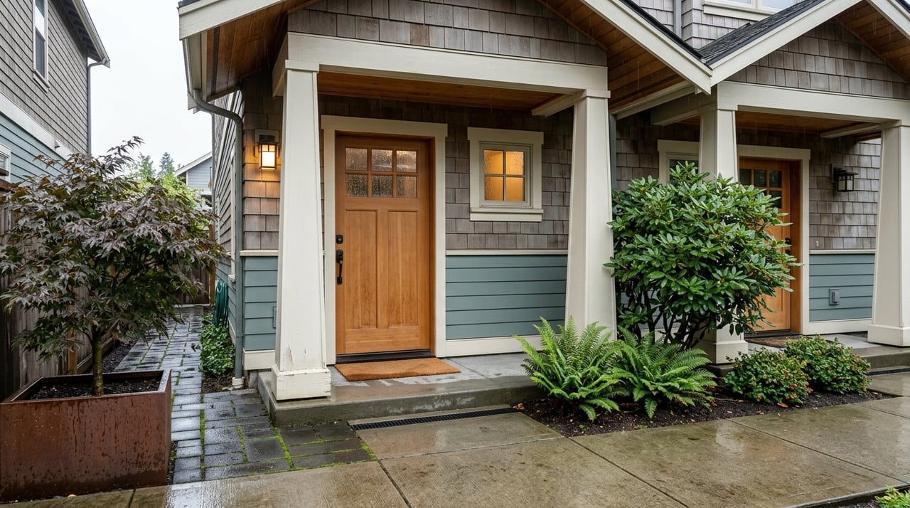
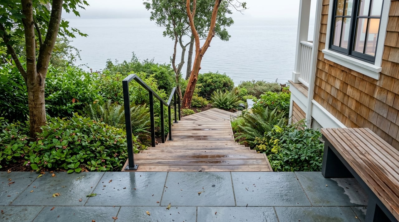
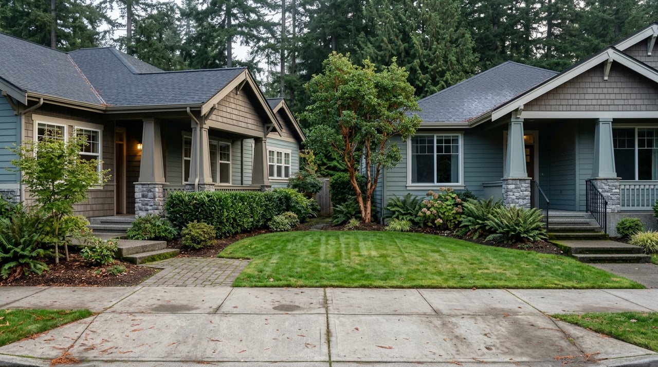
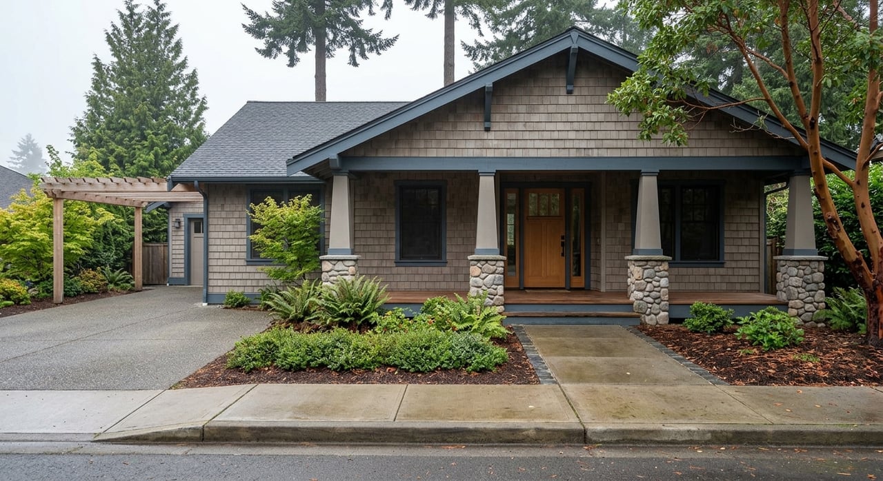
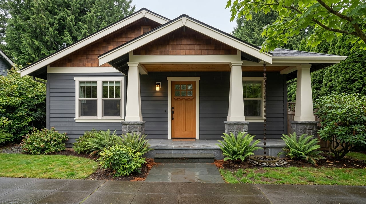
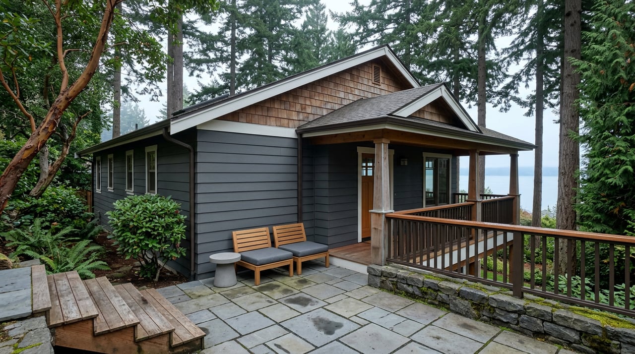
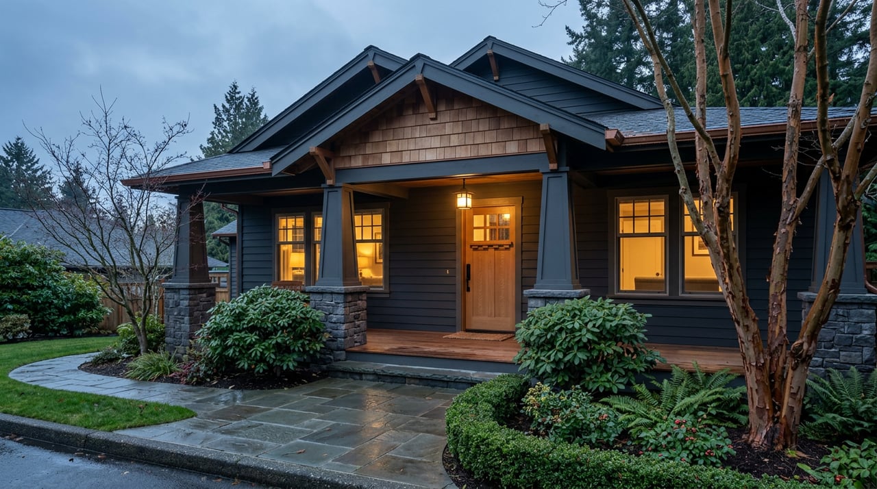
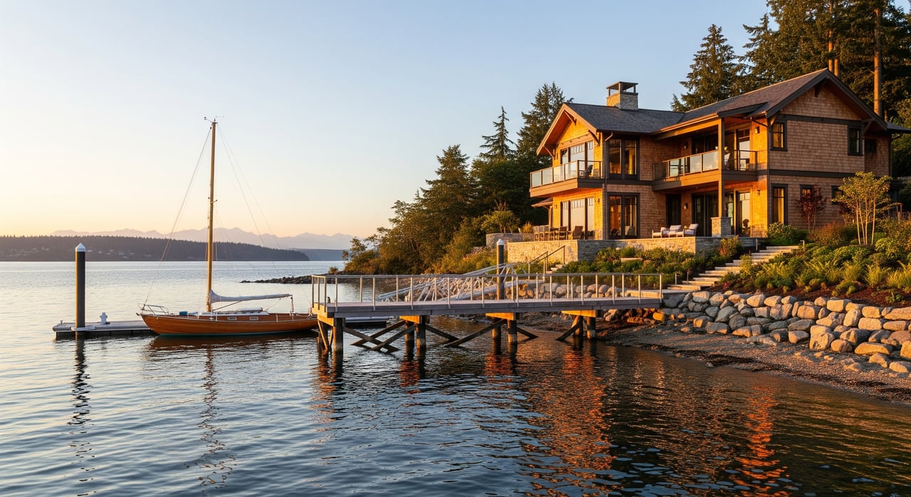
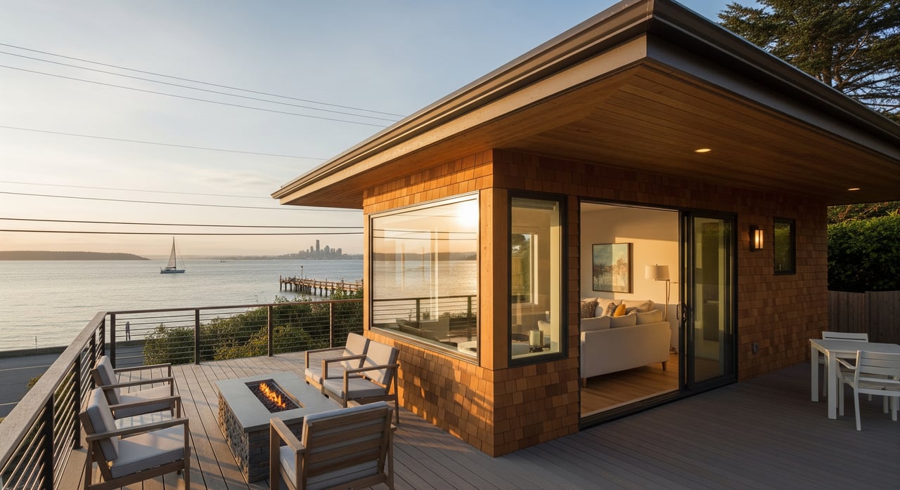
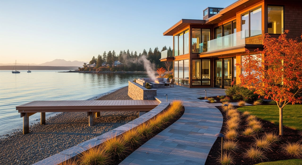
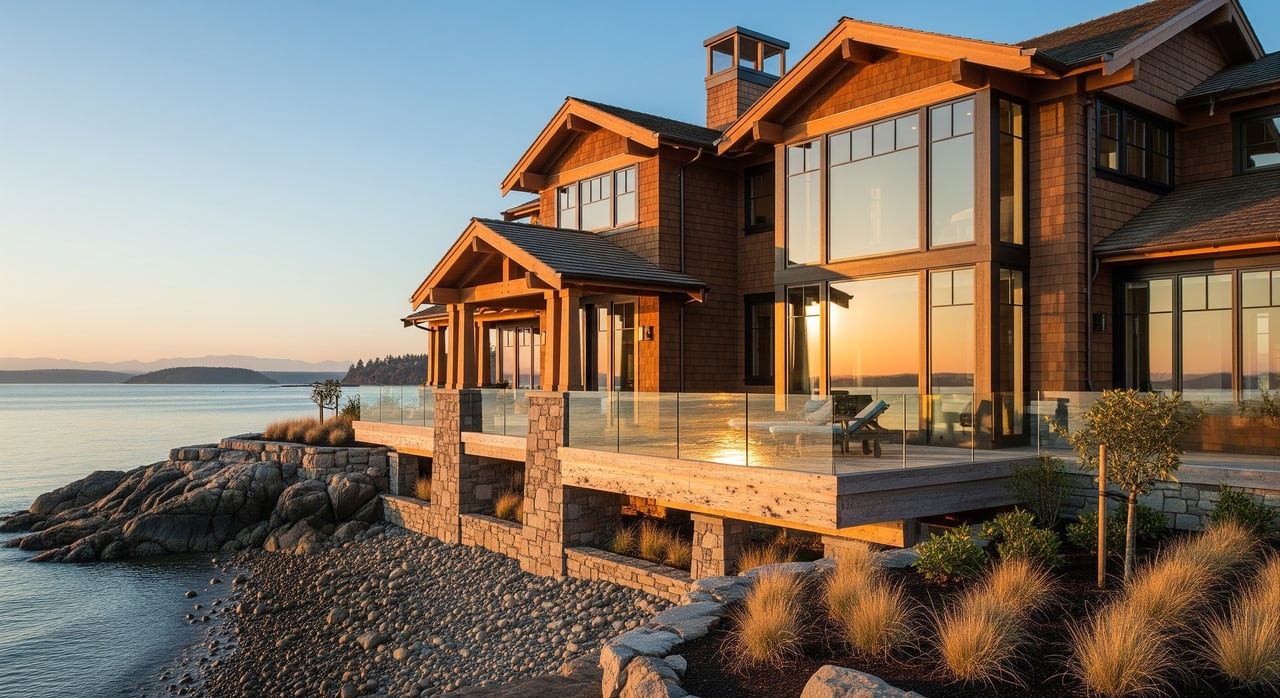
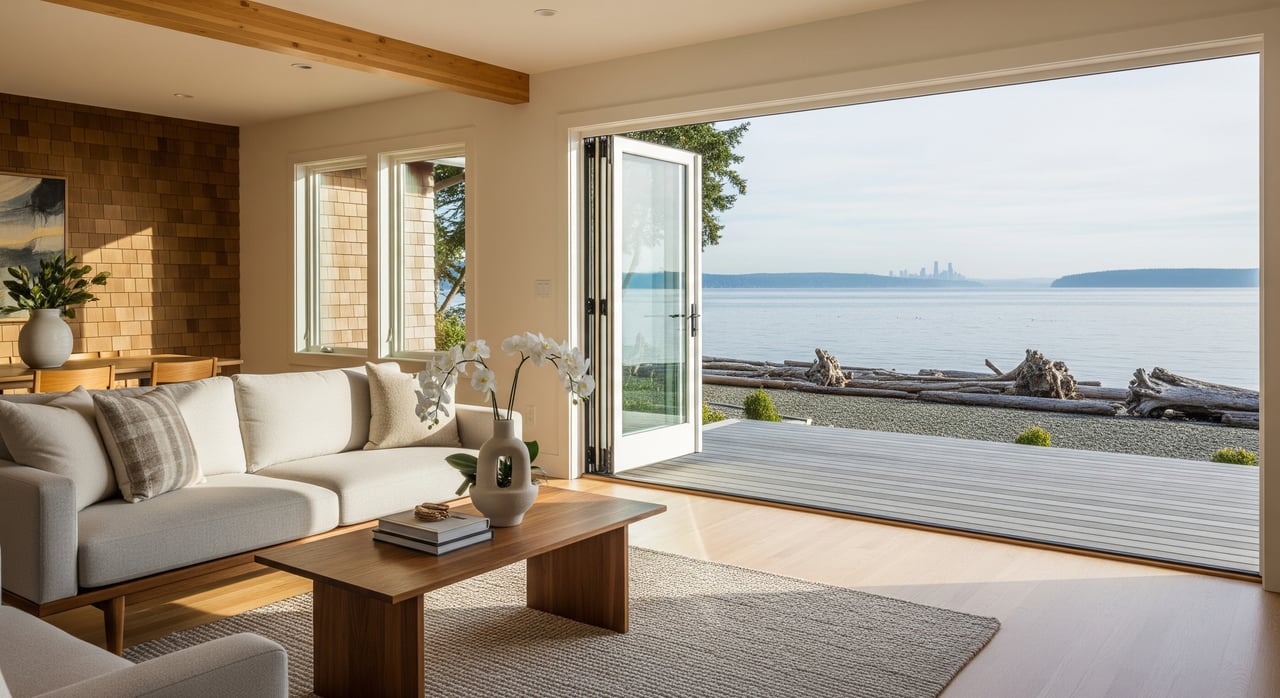
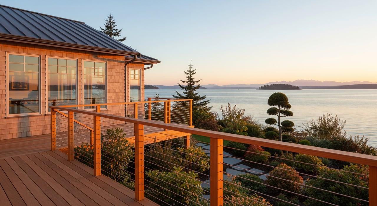
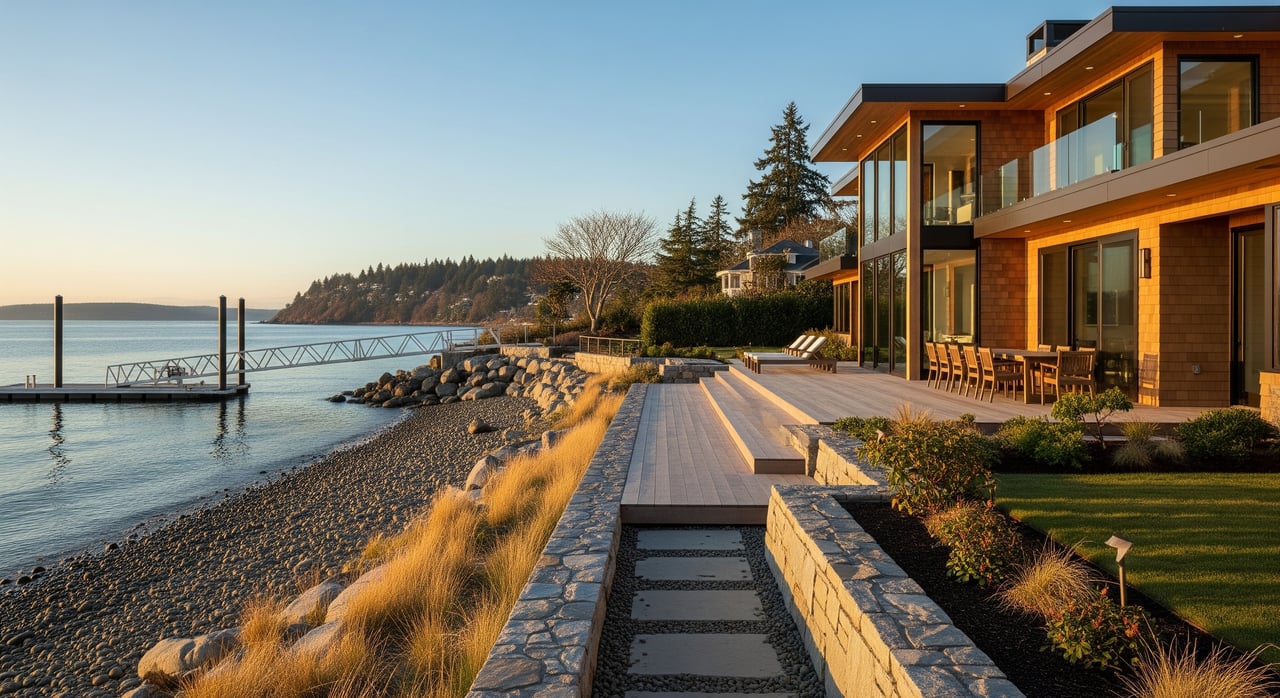
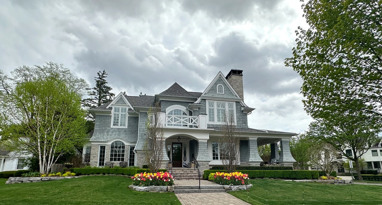
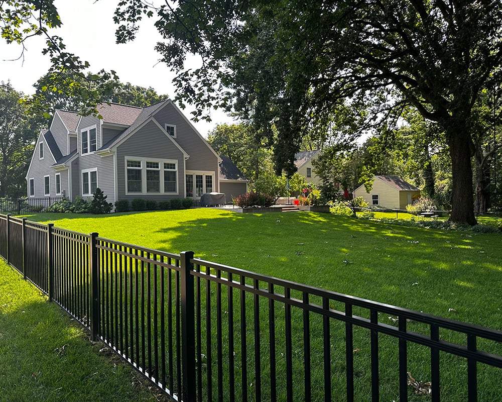
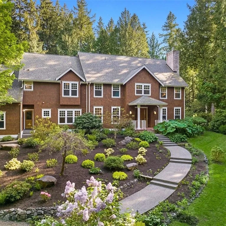
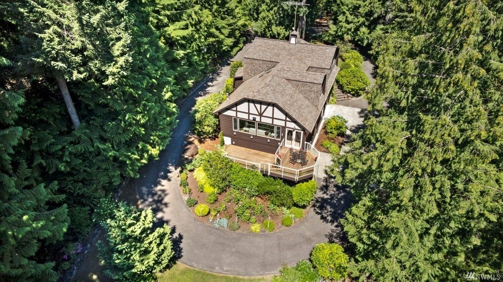
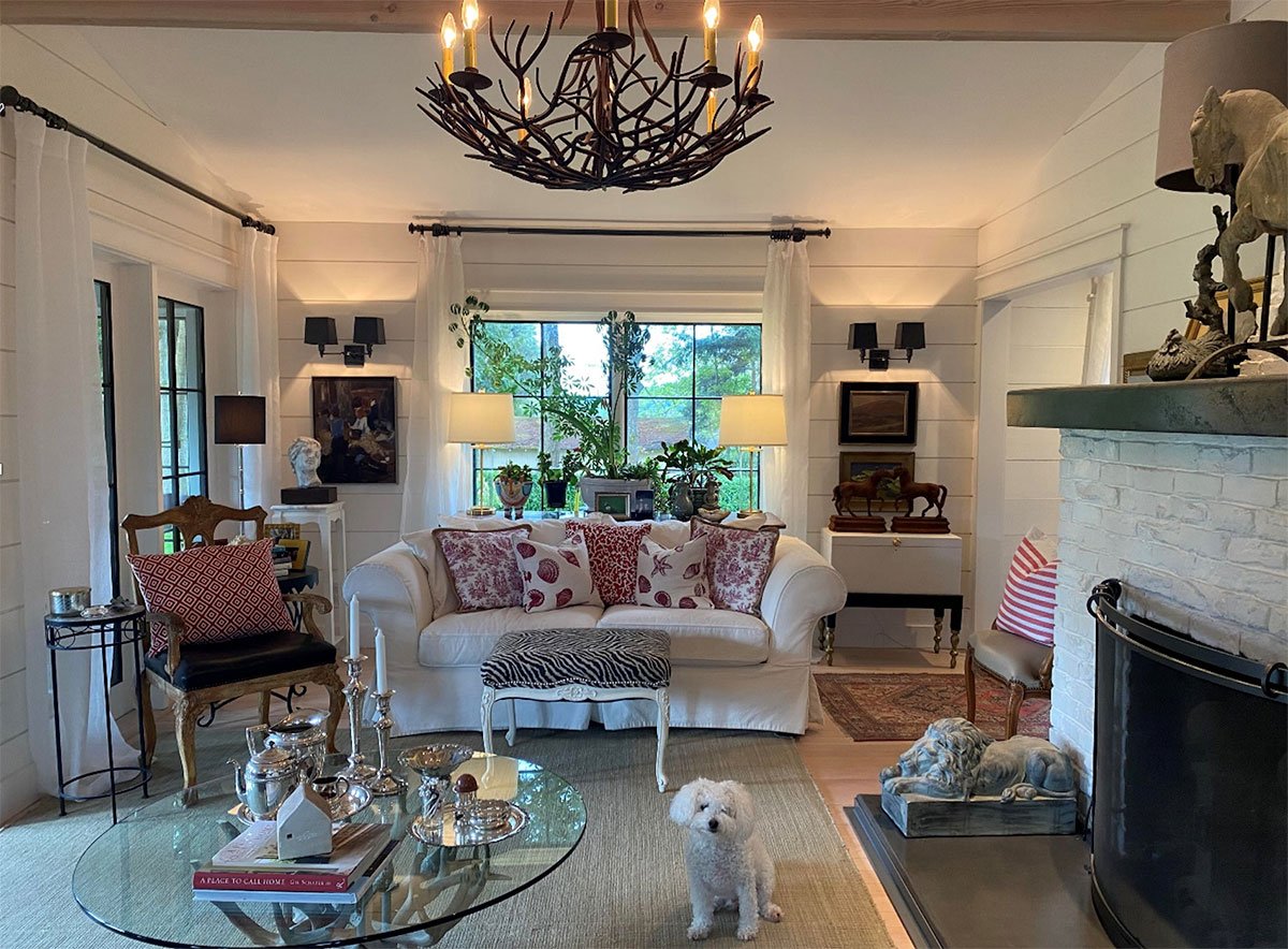
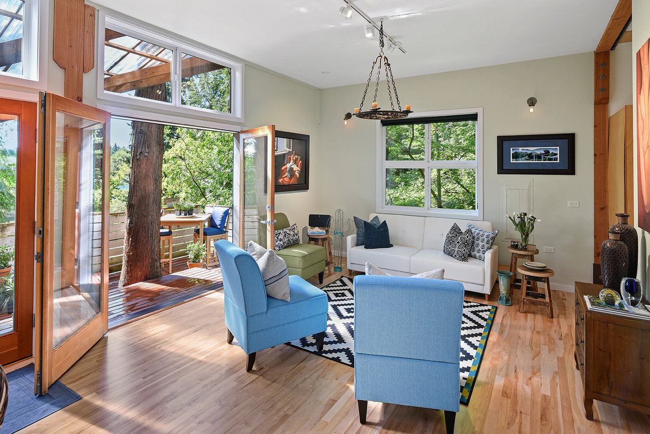
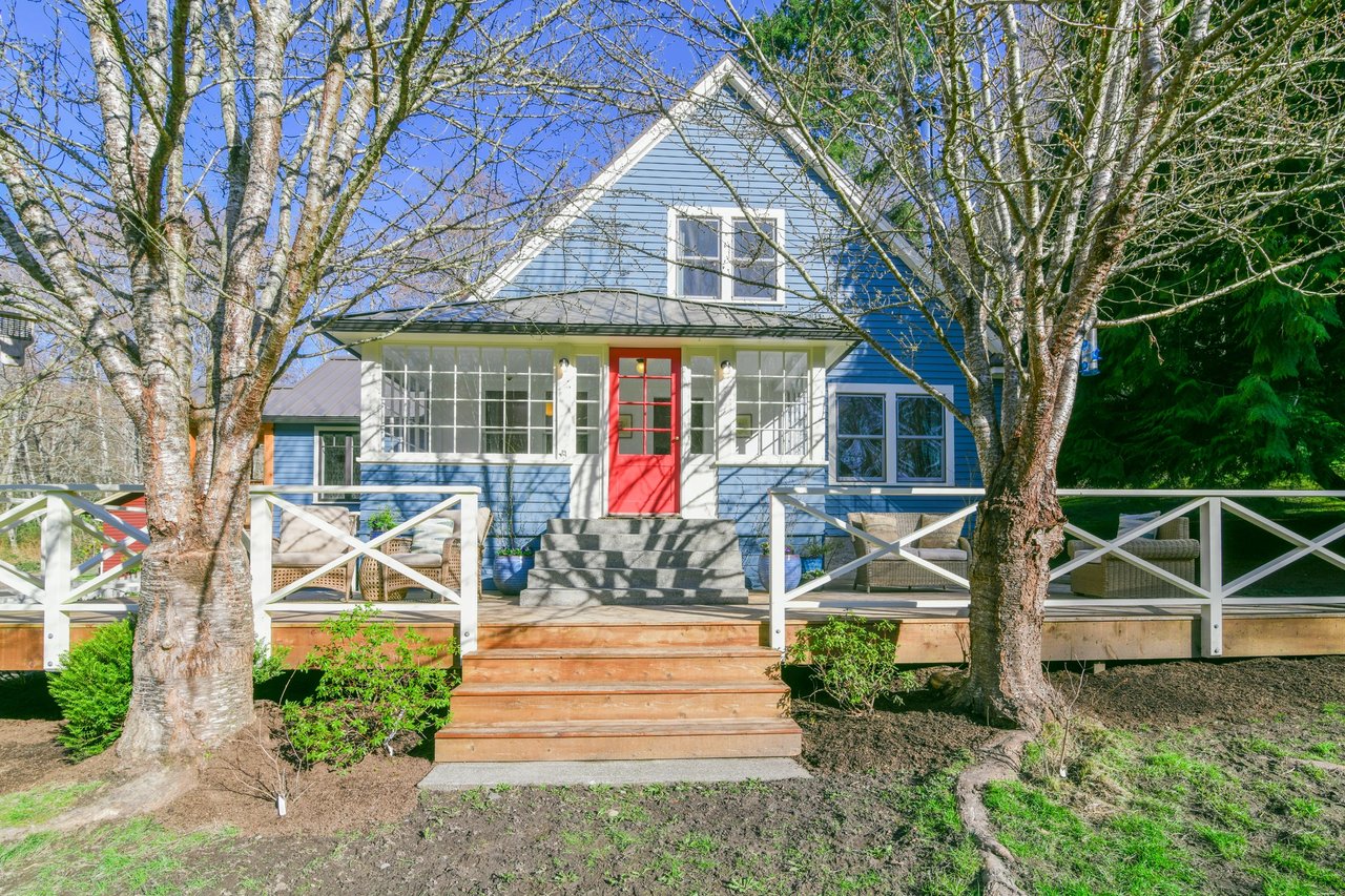
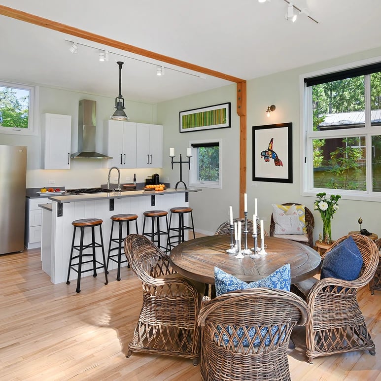
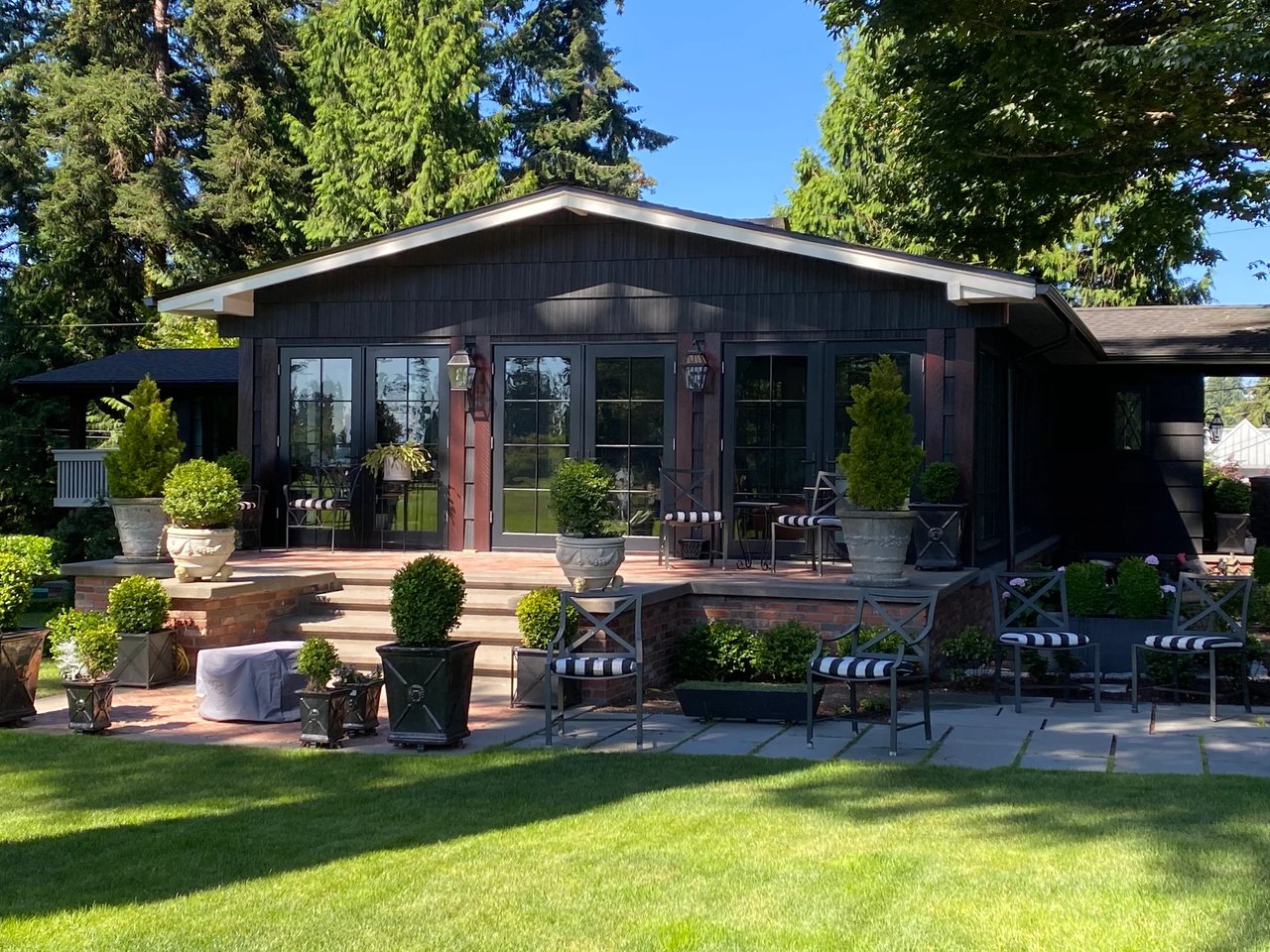
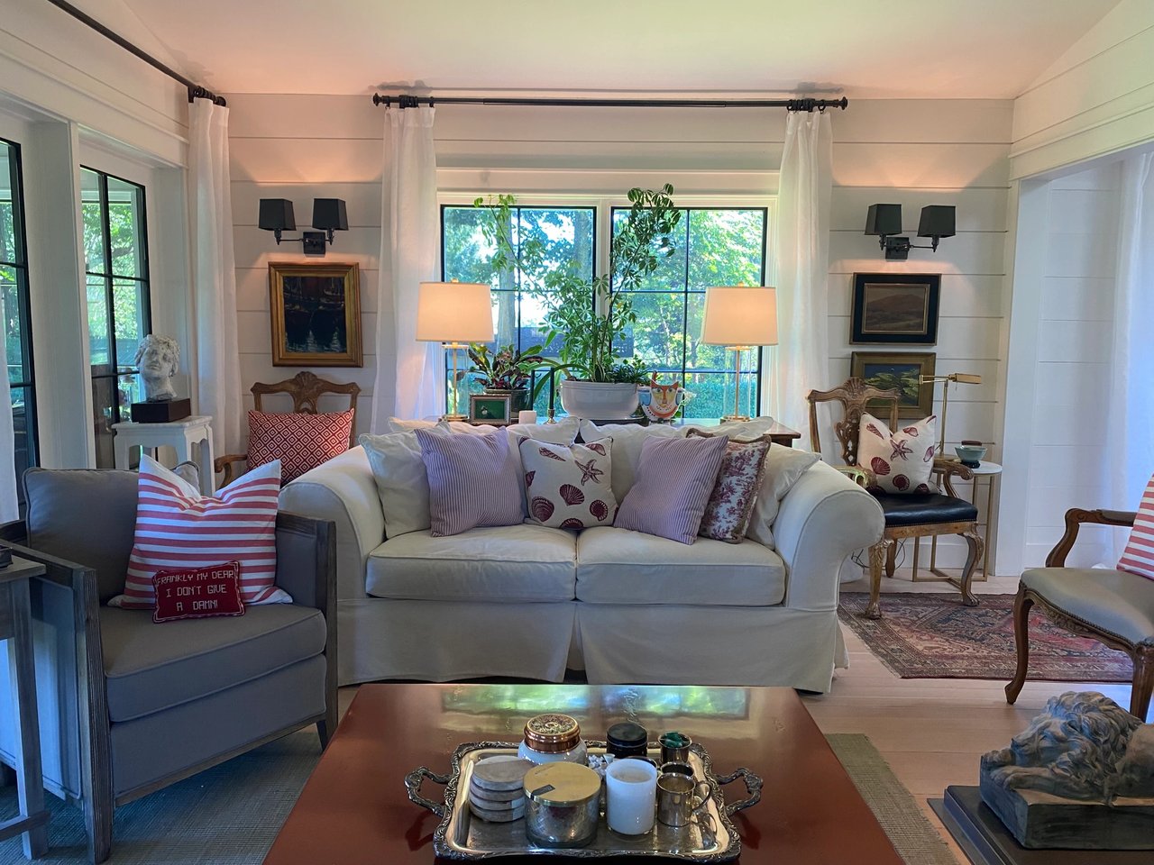
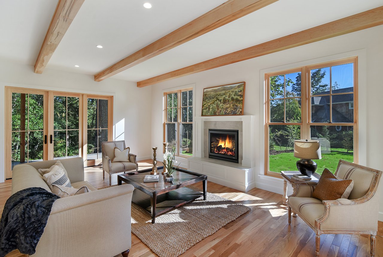
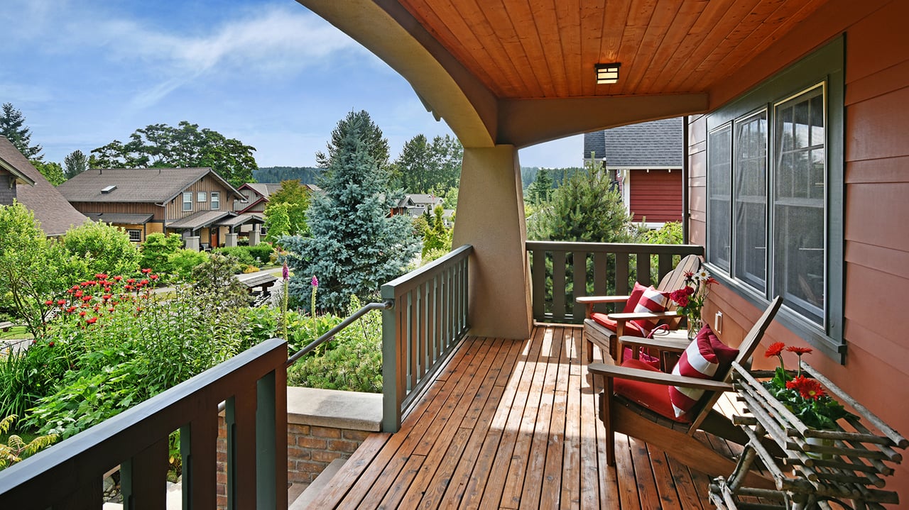
The neighborhood includes a mix of early military brick structures that have been converted to residences, mid-century ranch homes, classic island Craftsman and bungalow forms, and newer contemporary waterfront replacements. Shoreline parcels vary, with both low-bank sections and properties with developed seawalls. Fort Ward is a neighborhood name rather than a strict municipal boundary, so edges can feel informal when you compare maps.
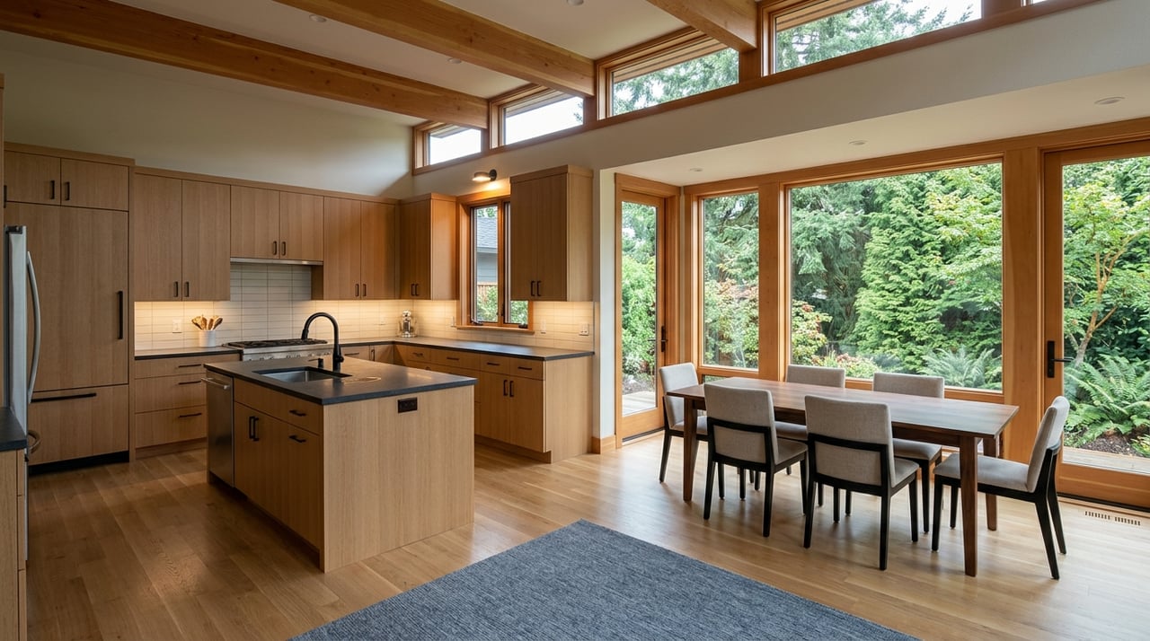
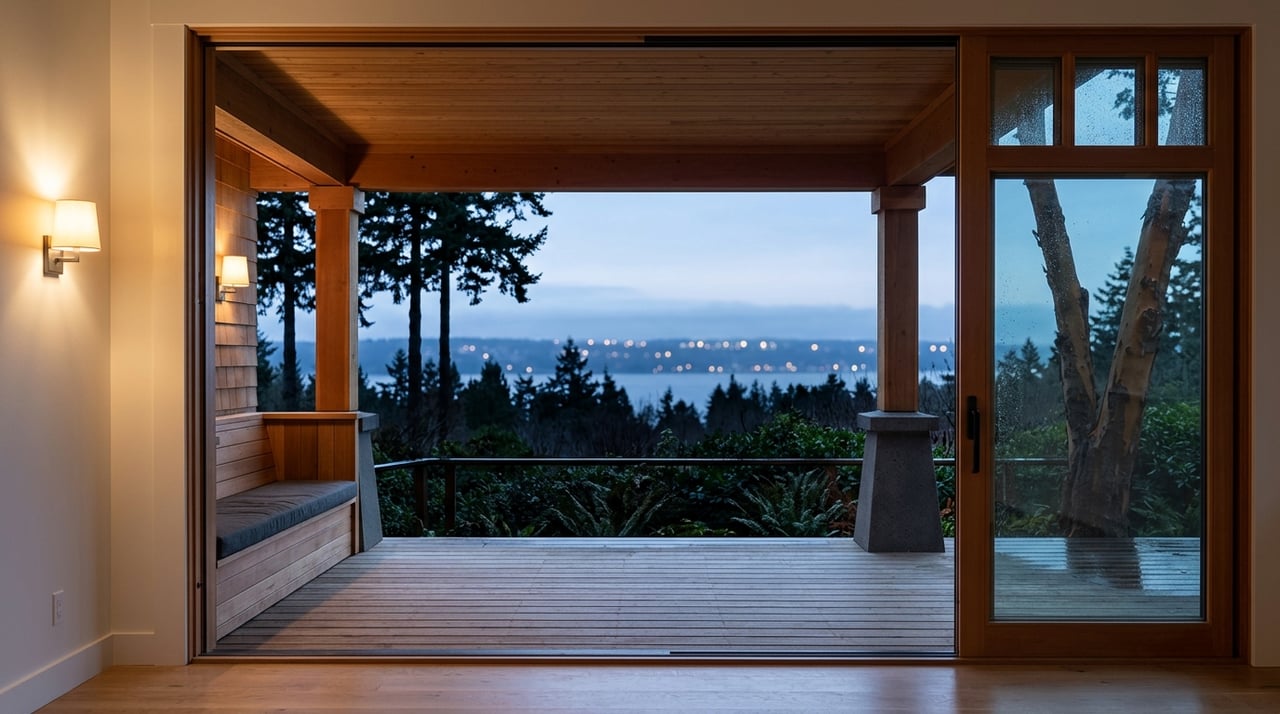
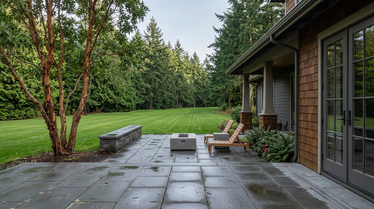
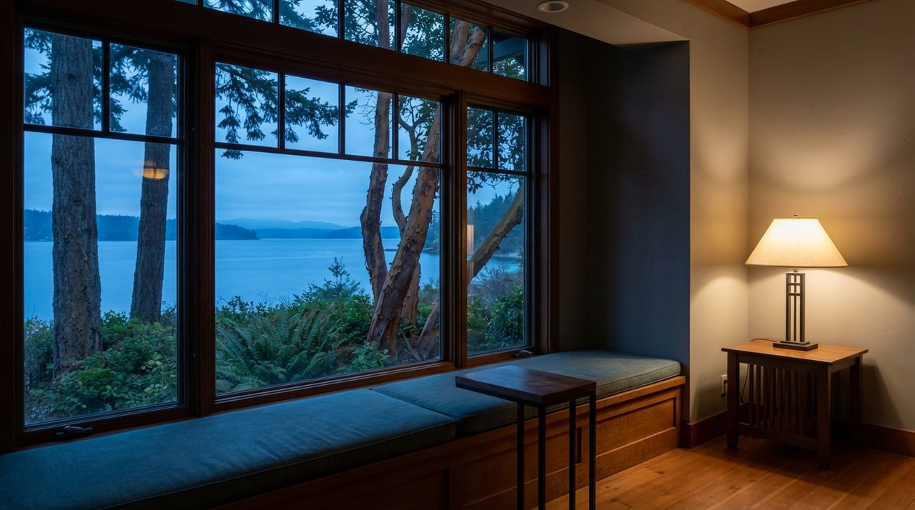
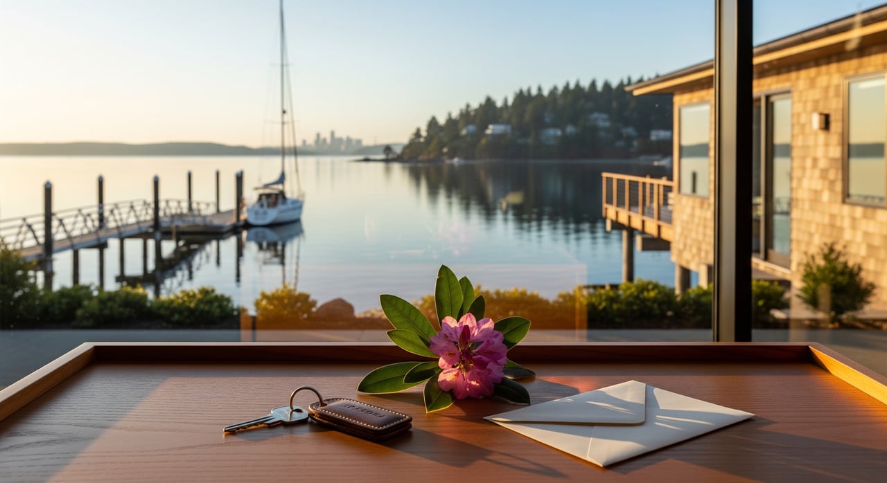
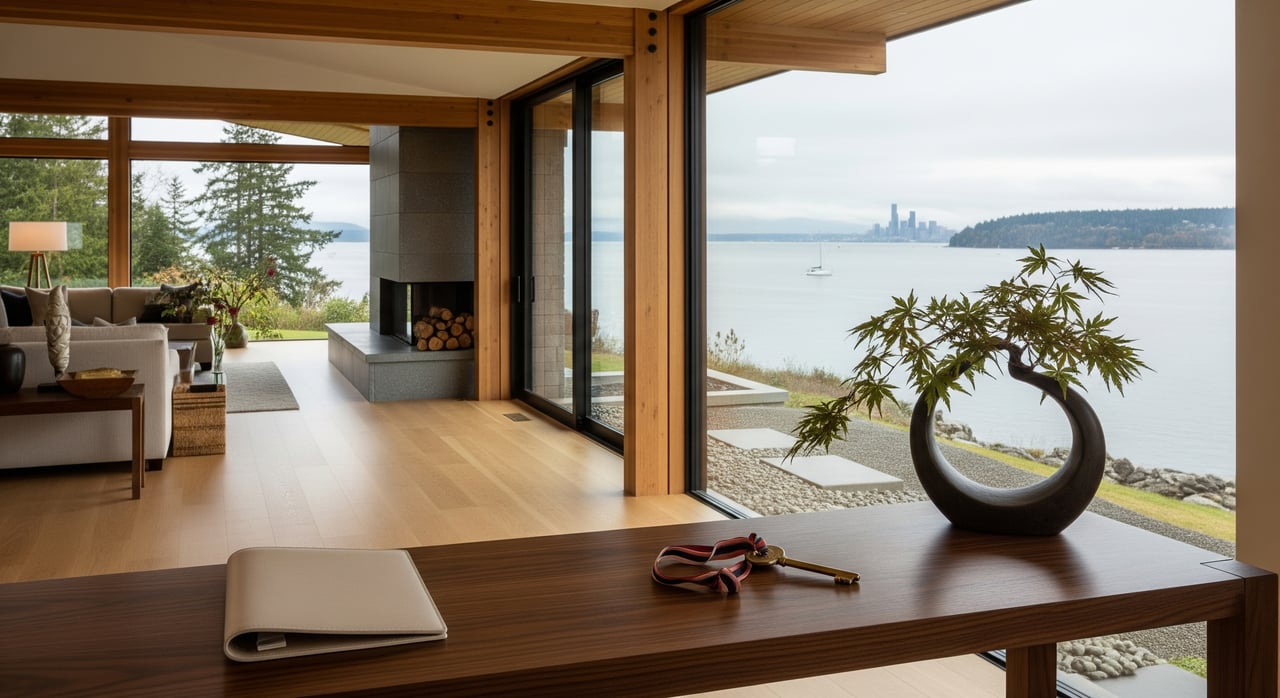
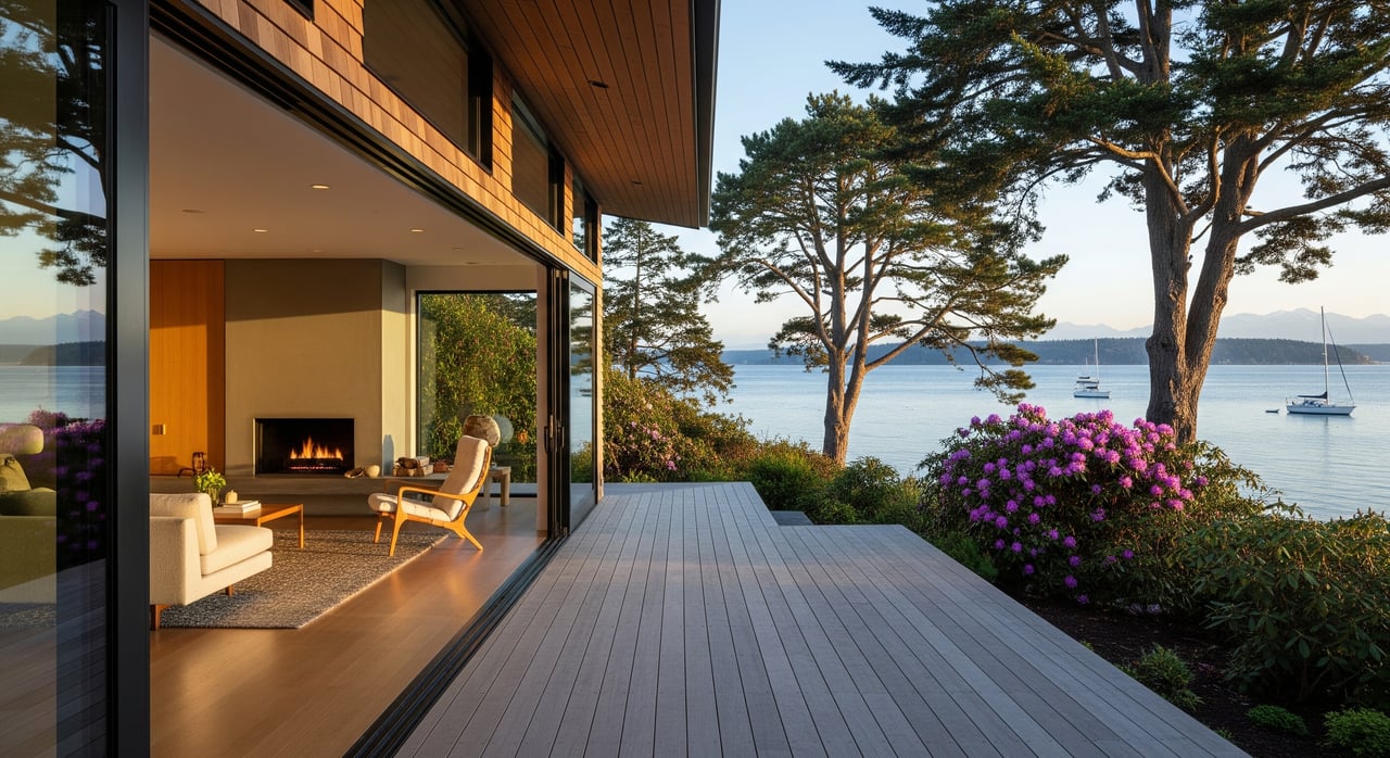
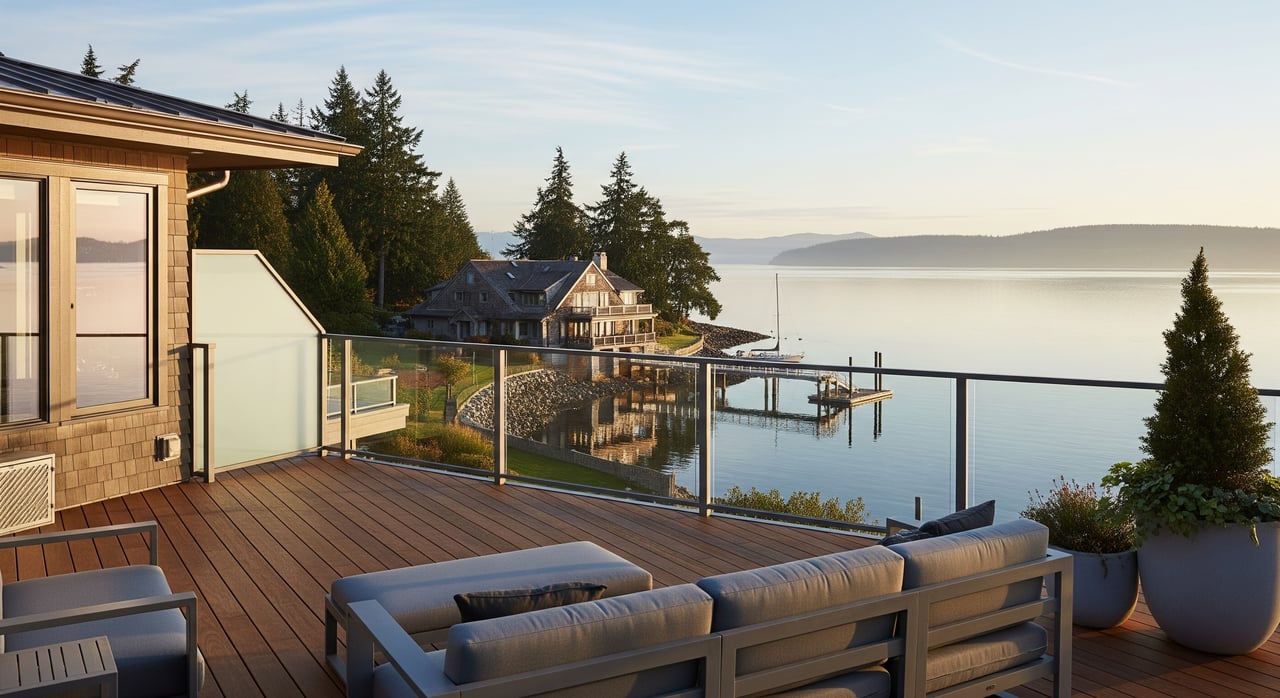
If you are exploring a purchase or preparing to sell, it helps to understand shoreline considerations, historic context, and local park interfaces. Ask about bulkhead conditions, beach access rights, and any preservation overlays that could guide exterior changes. On the listing side, well-executed staging and photography can highlight the indoor-outdoor flow and water views that matter here.
Fort Ward vs. other island spots
- Winslow: Think walkable town center, shops, and arts. Use Winslow for errands, dining, and the ferry. Fort Ward is quieter and feels more nature-forward.
- Battle Point: A large park with sports and recreation facilities. Fort Ward focuses more on shoreline paths and historic remnants.
- Eagledale: Set on higher ground with community recreation facilities. Fort Ward offers longer shoreline walks and direct Rich Passage views.
- Rolling Bay and Lynwood: Small commercial clusters that serve nearby neighborhoods. Fort Ward leans residential with easy access to Lynwood’s services.
Plan a simple shoreline afternoon
- Park near the upper picnic area and walk down to the paved waterfront path.
- Head south along the shore for ferry and boat watching across Rich Passage.
- Explore a side trail to the historic batteries for a glimpse of Station S era history.
- Set up a picnic at the lower picnic area, then beachcomb at low tide.
- If you plan to paddle, check tide and current tables, wear appropriate cold-water gear, and avoid ferry lanes.
For current hours, launch rules, parking, and any temporary closures, consult the Bainbridge Island Metro Parks Fort Ward page before your visit.
Respect the place
Bainbridge Island sits within the ancestral territory of the Suquamish people. If you want language and resources for a land acknowledgement or to learn more before your visit, see the Fort Ward Park listing on Visit Bainbridge Island.
Buyer and seller notes
- Shoreline and tides: Ask inspectors about shoreline stability, bulkheads, and beach access. Currents in Rich Passage are strong, so water use varies by site and skill level.
- Trails and access: Proximity to the paved shoreline path is a plus for daily life. Confirm parking and guest access patterns on your specific street.
- History and permits: Some properties relate to historic structures or settings. Check permit pathways early if you are planning exterior changes.
- Listing prep: Staging, photography, and targeted improvements can lift results. If you are considering pre-listing updates, we can help you weigh scope and return.
Ready to see how Fort Ward fits your lifestyle or your listing plans? Make time for coffee. Schedule a consultation with McLaughlin & Co. and let’s map your next steps with clear, local guidance.
FAQs
What is Fort Ward Park and where is it?
- Fort Ward Park is a 137-acre marine and shoreline park on Bainbridge Island’s south end with about 4,300 feet of Rich Passage waterfront, trails, and day-use areas, as outlined by the park district.
Does Fort Ward have a public boat launch?
- Yes, there is a concrete boat ramp with modest parking; plan ahead and review site details, as guides like this overview note limited capacity for trailers.
Are currents strong along Fort Ward’s shoreline?
- Rich Passage has frequent ferry and commercial traffic with strong currents; paddlers and small craft users should plan around tides and use extra caution, as noted by the Cascadia Marine Trail site.
Can you camp at Fort Ward?
- Camping is limited to a primitive Cascadia Marine Trail site for human-powered water travelers; details are available from Washington Water Trails Association.
What is Fort Ward’s historical significance?
- Fort Ward began as an early 1900s coastal defense post and later hosted a WWII naval listening station known as Station S, summarized on HistoryLink.