
Sunset lane or deep-water point? If you are deciding between Crystal Springs and Point White on Bainbridge Island’s south end, you are not alone. Both offer waterfront charm, but the shoreline, views, and daily feel are not the same. In this guide, you will learn the key differences, what to check before you write an offer, and how to match each lane to your lifestyle. Let’s dive in.
Map and orientation
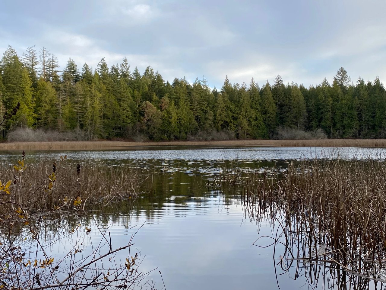
Crystal Springs and Point White sit side by side on the south to southwest shore of Bainbridge Island in ZIP code 98110. The shoreline fronts Rich Passage, an active waterway with ferries and other marine traffic in view. A neighborhood landmark is the public Point White Pier, also called the Crystal Springs Public Fishing Pier, which offers parking and water access for fishing and diving. You can confirm location and public access details on the Washington Department of Fish & Wildlife’s page for the Crystal Springs Public Fishing Pier.
Crystal Springs at a glance
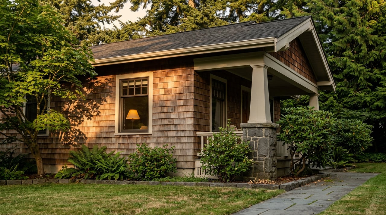
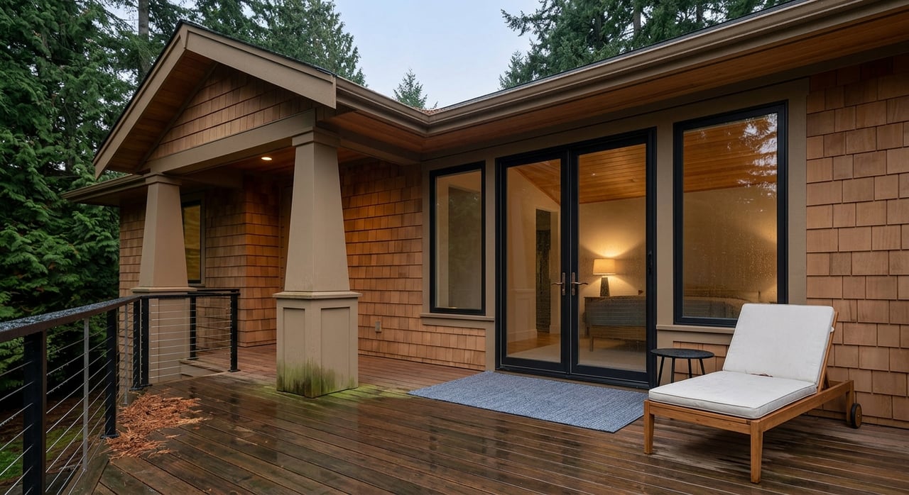
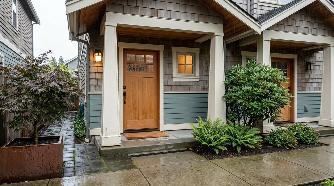
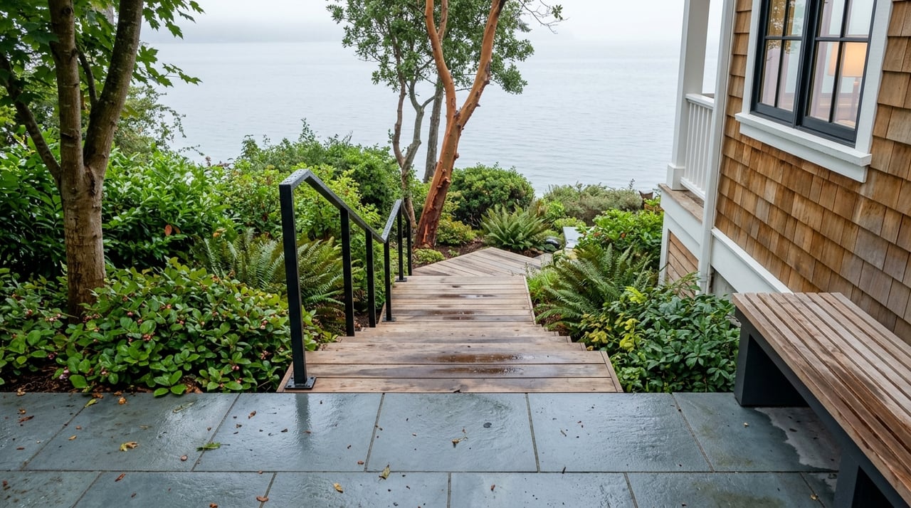
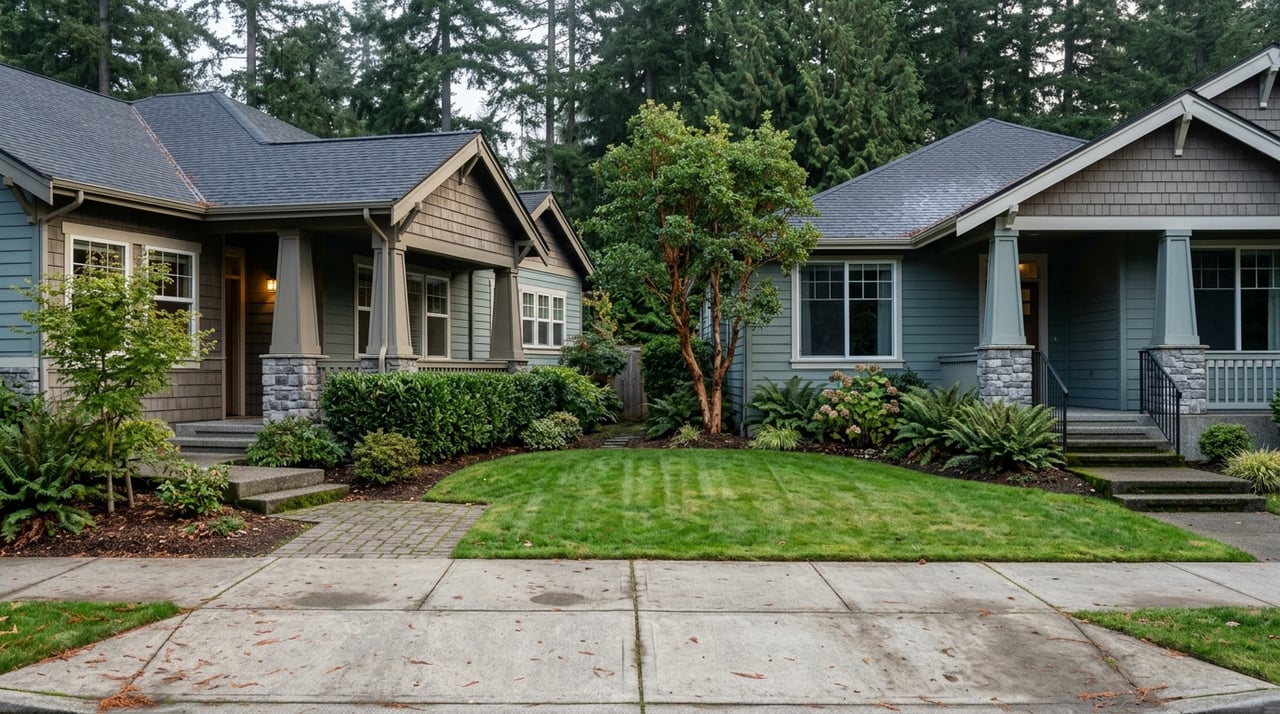
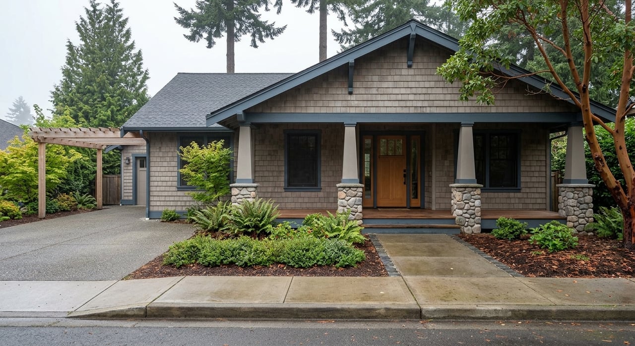
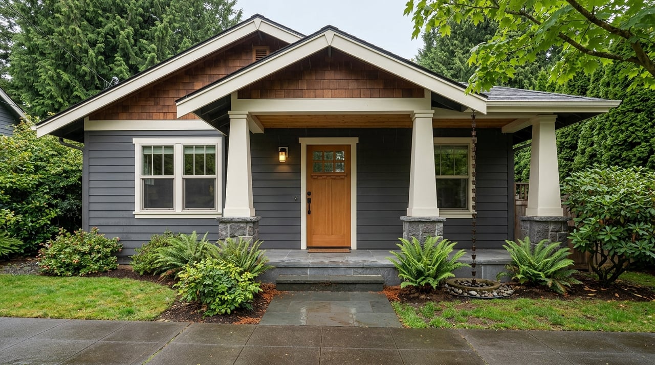
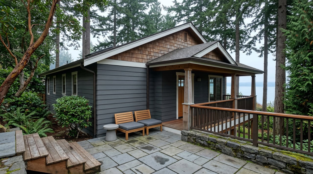
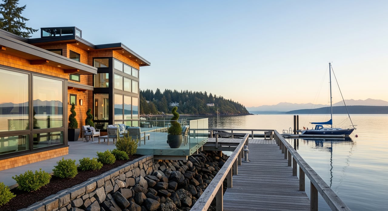
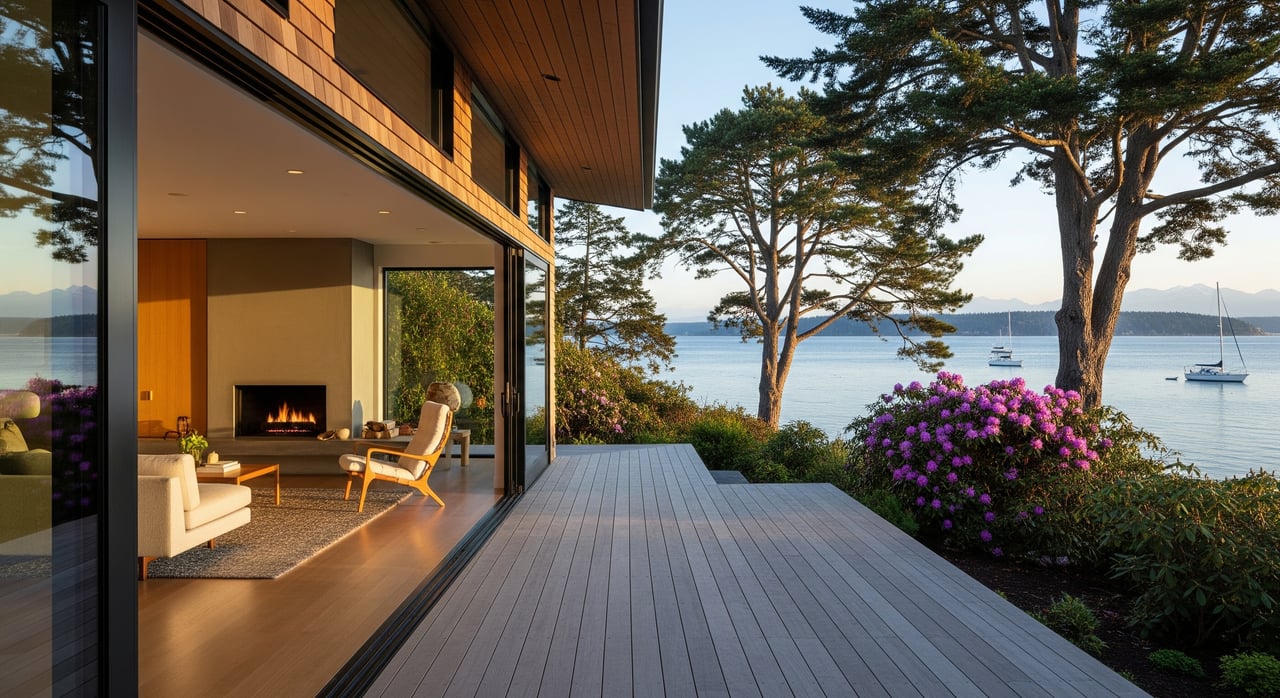
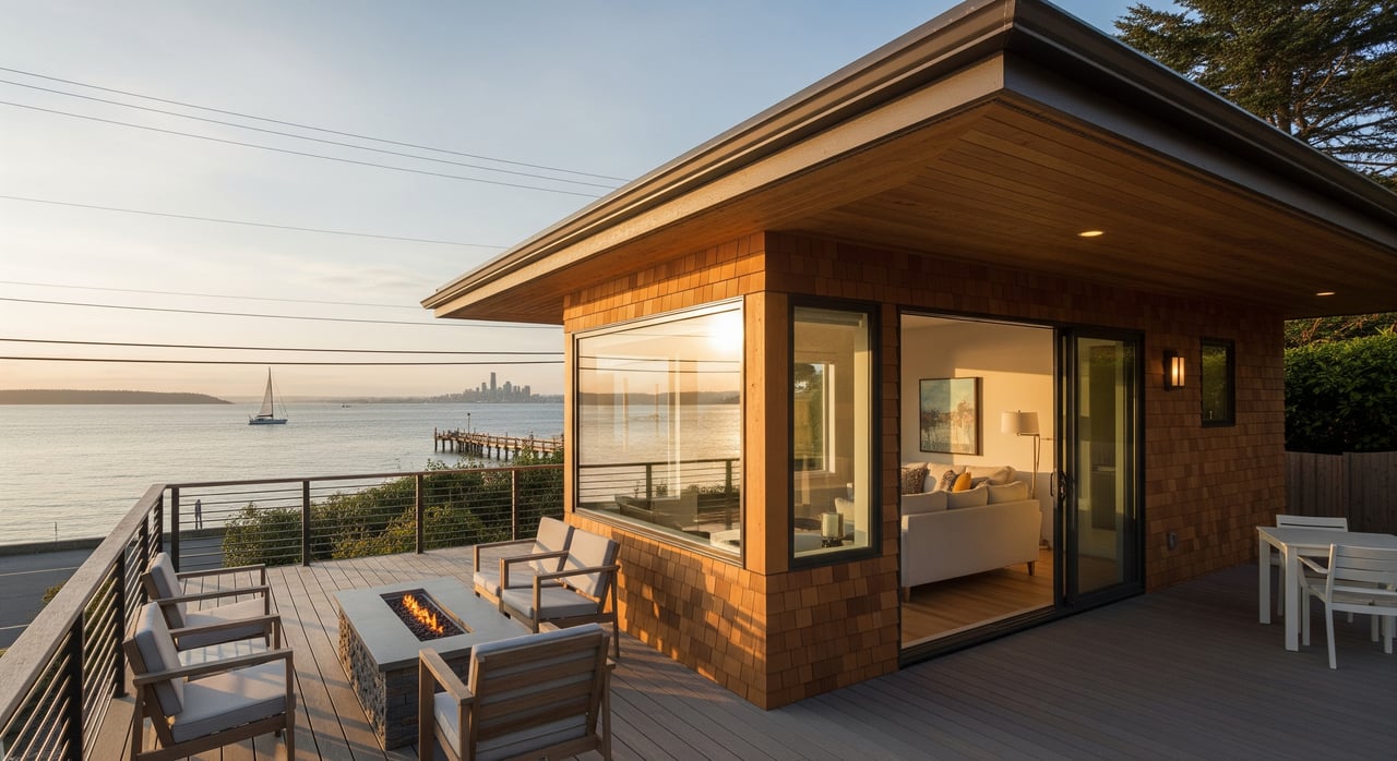
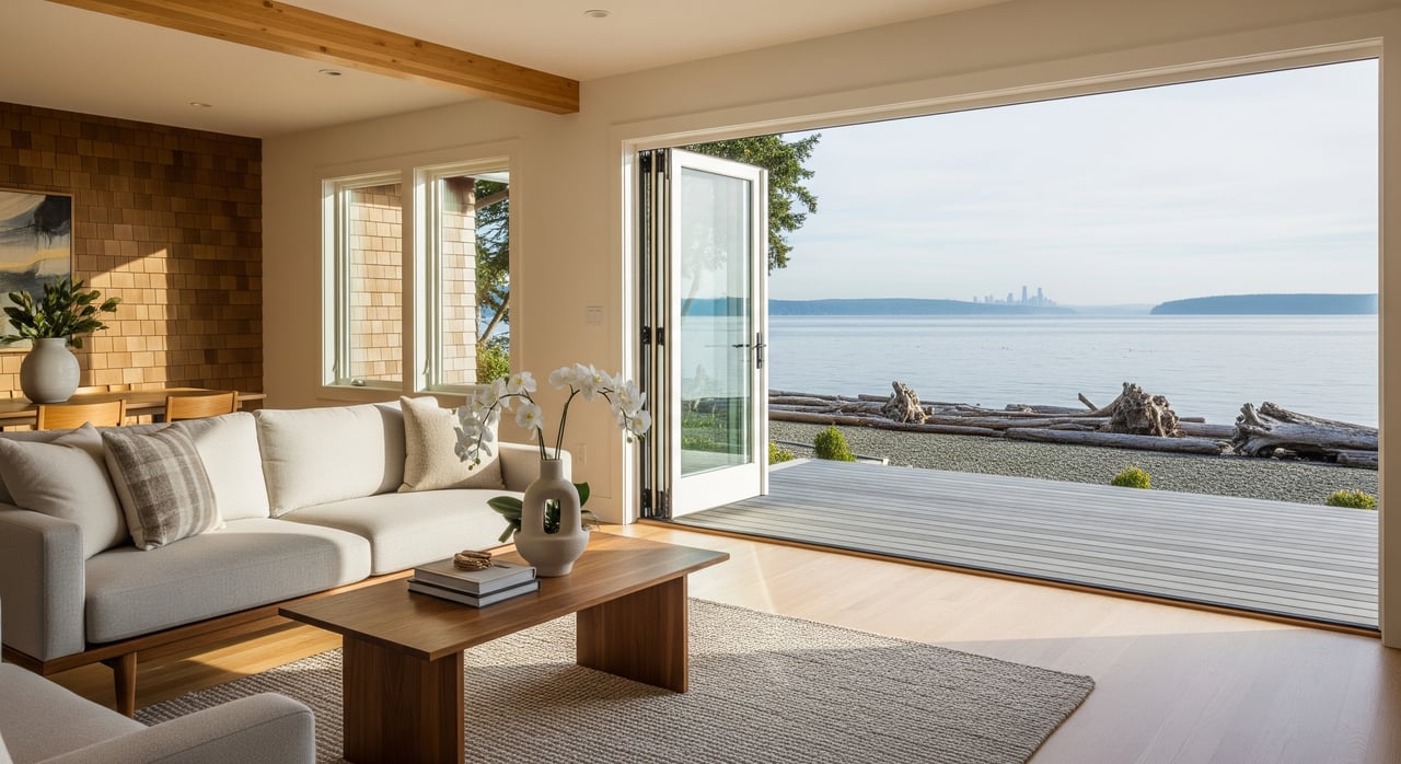
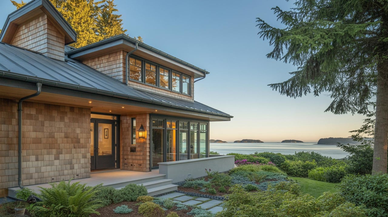
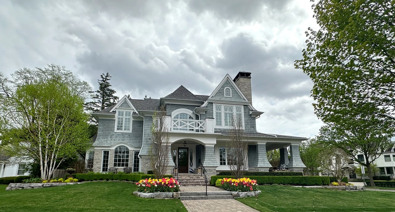
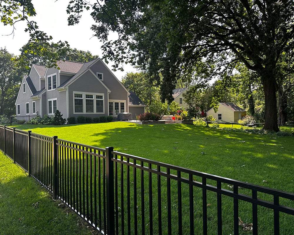
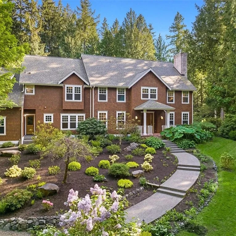
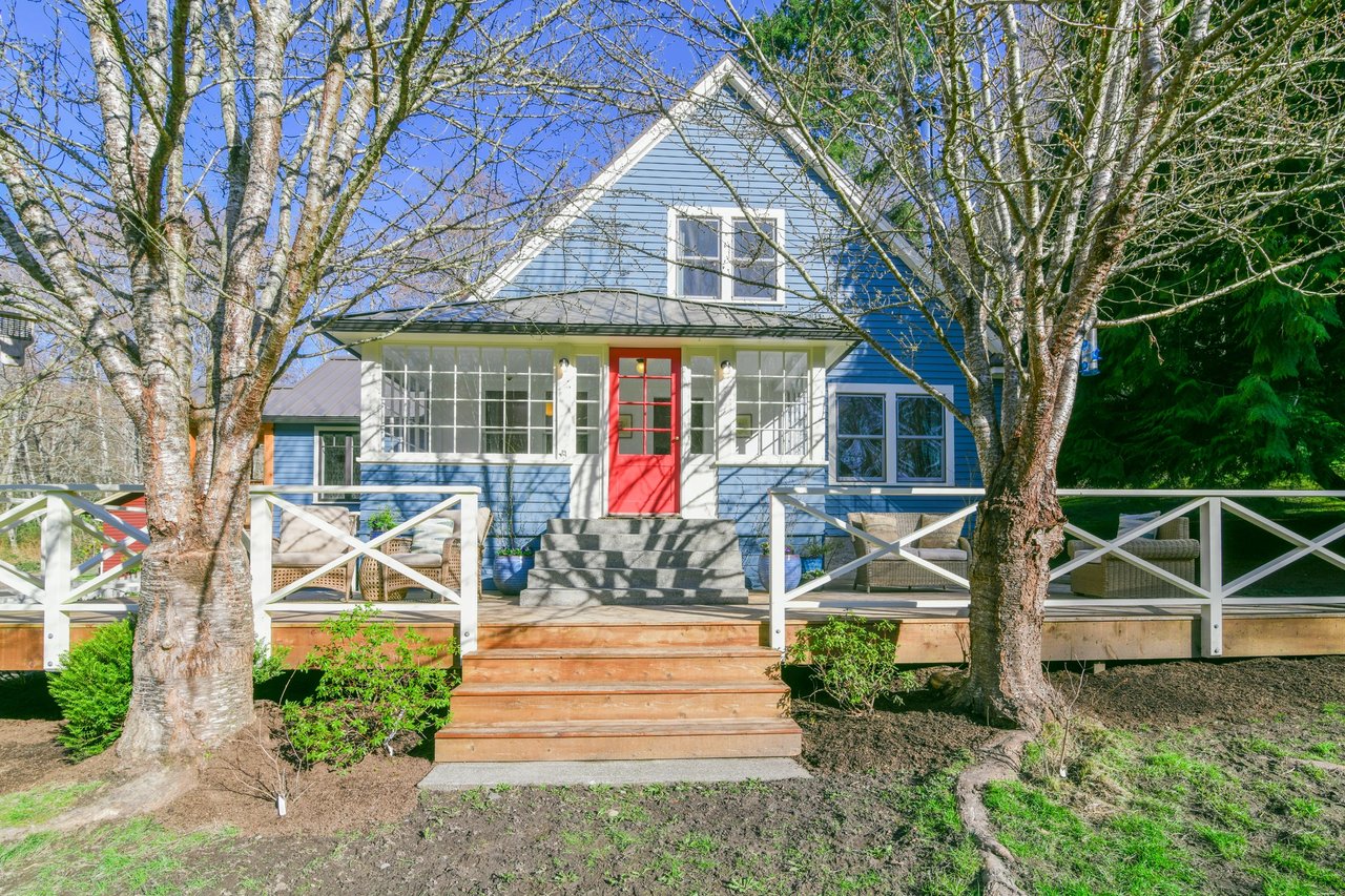
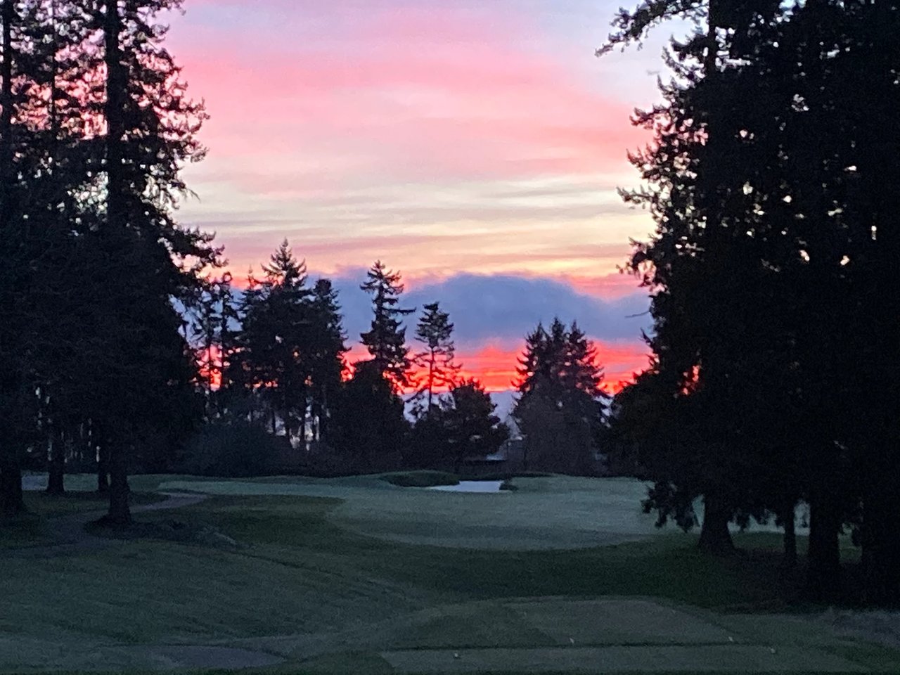
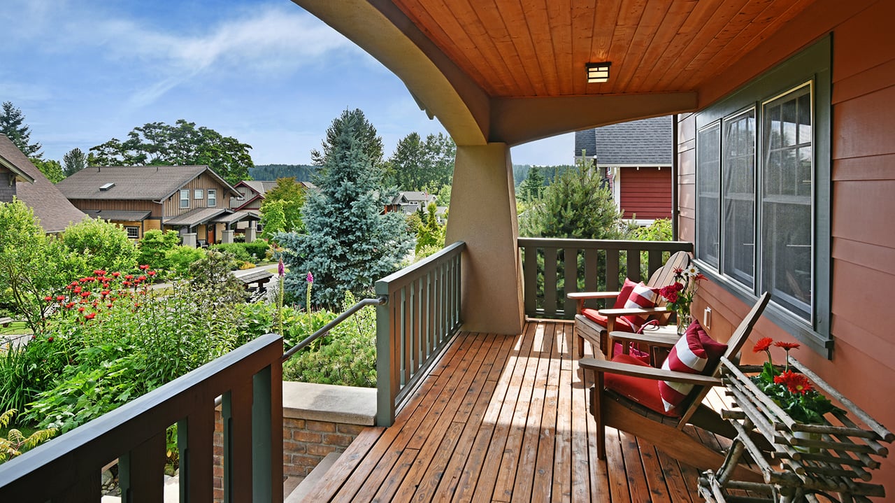
Crystal Springs is often described as a narrow, west-facing ribbon of homes with an intimate, cottage-by-the-sea vibe. You tend to see smaller-scale houses, tight-knit lanes, and easy beach moments that lean into afternoon and evening light. If you love warm sunsets and a cozy shoreline feel, this lane is a strong fit.
Point White at a glance
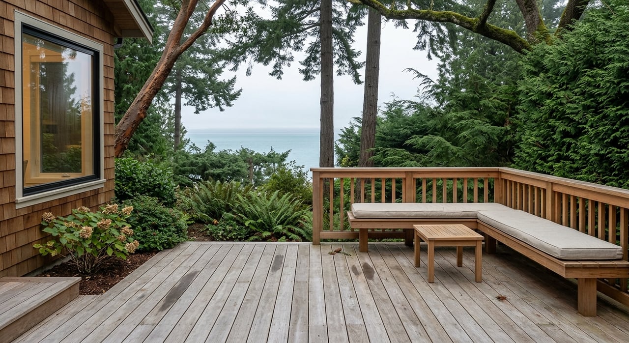
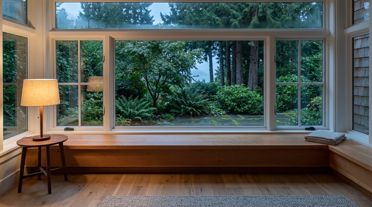
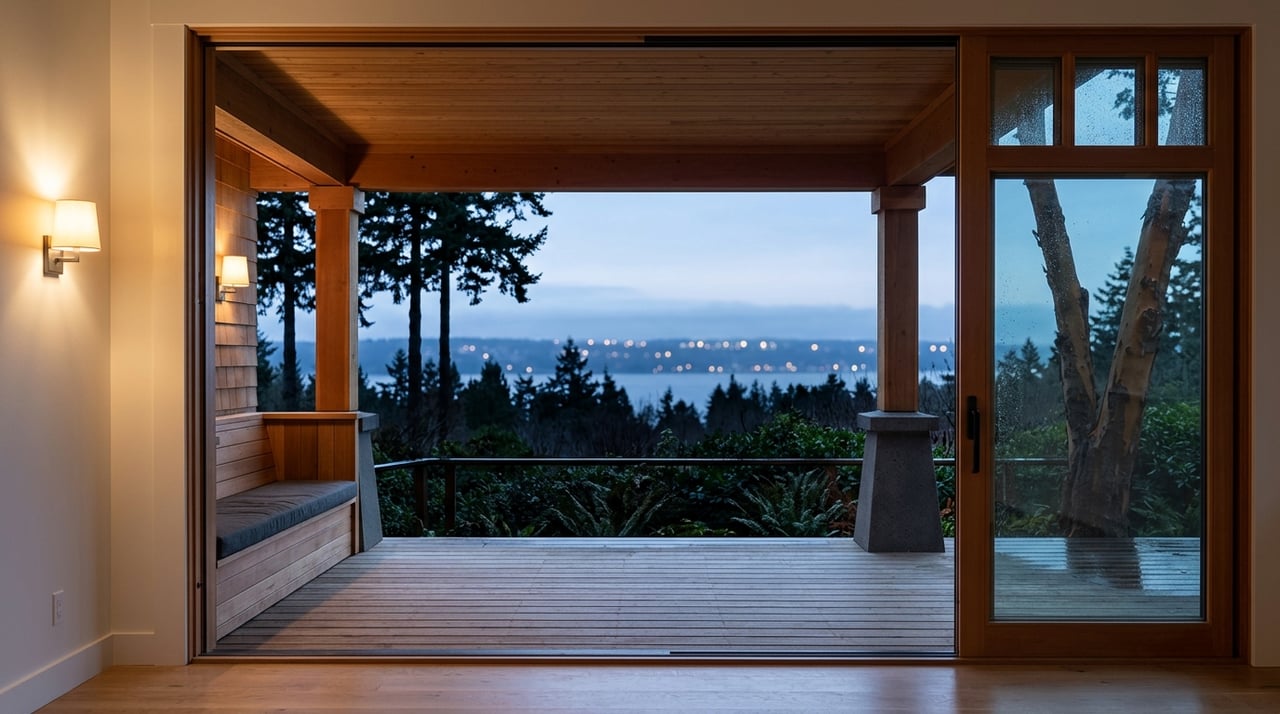
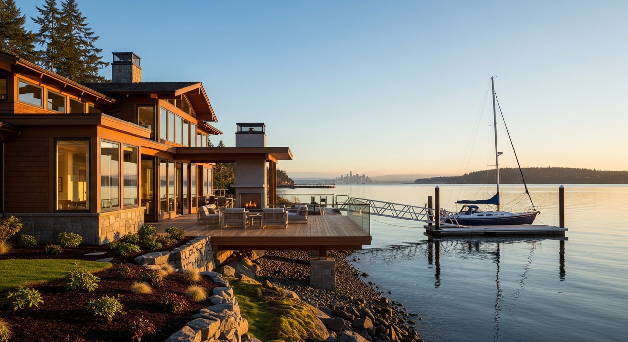
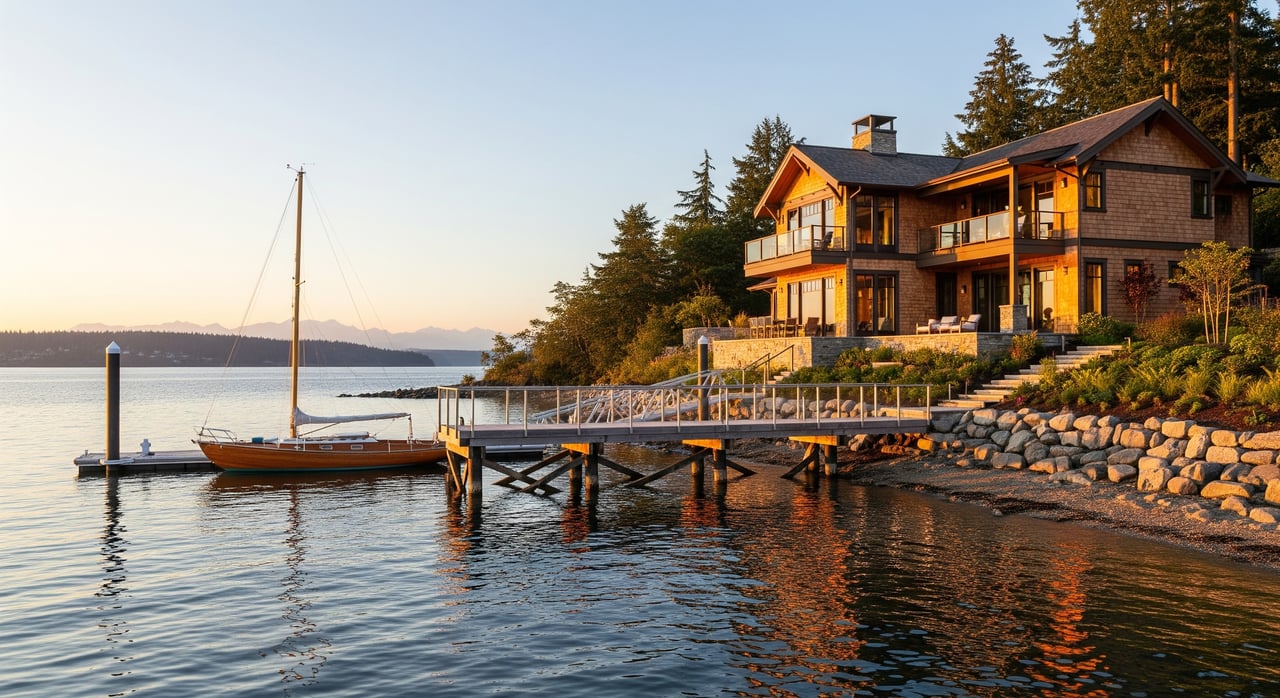
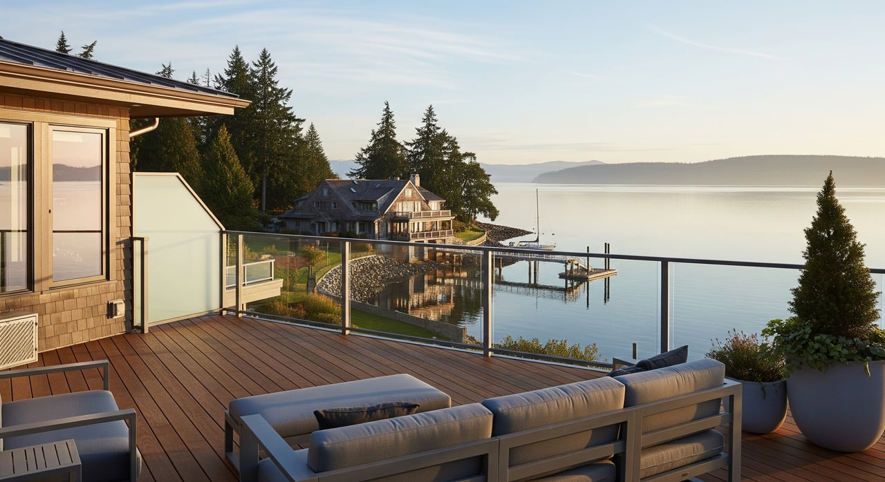
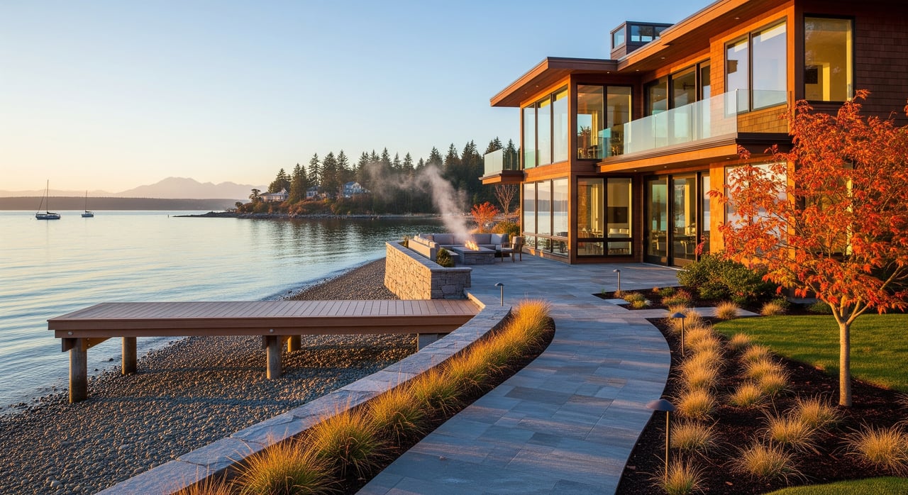
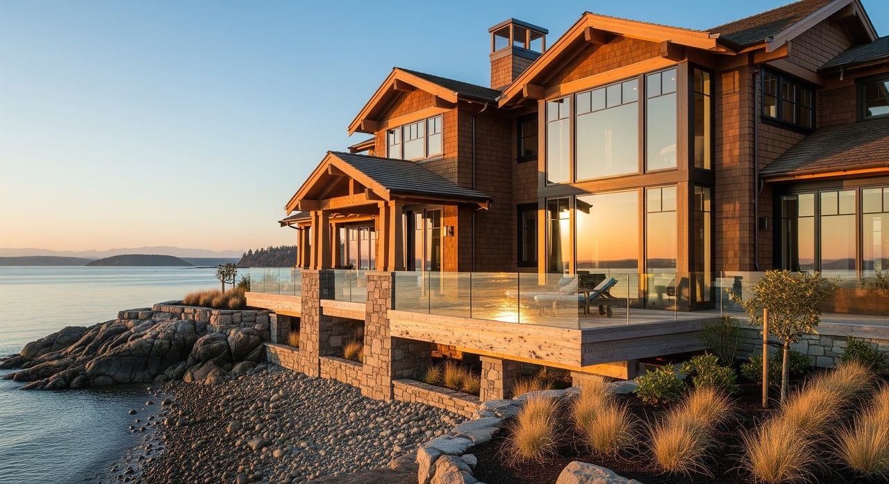
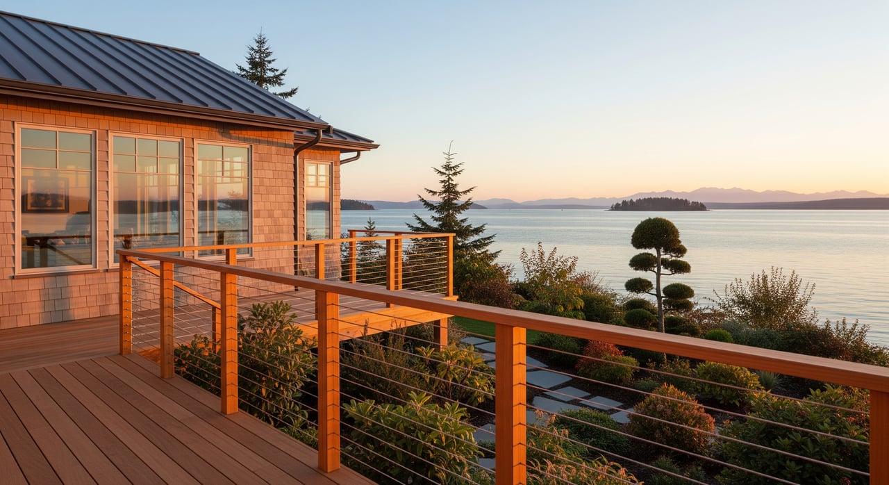
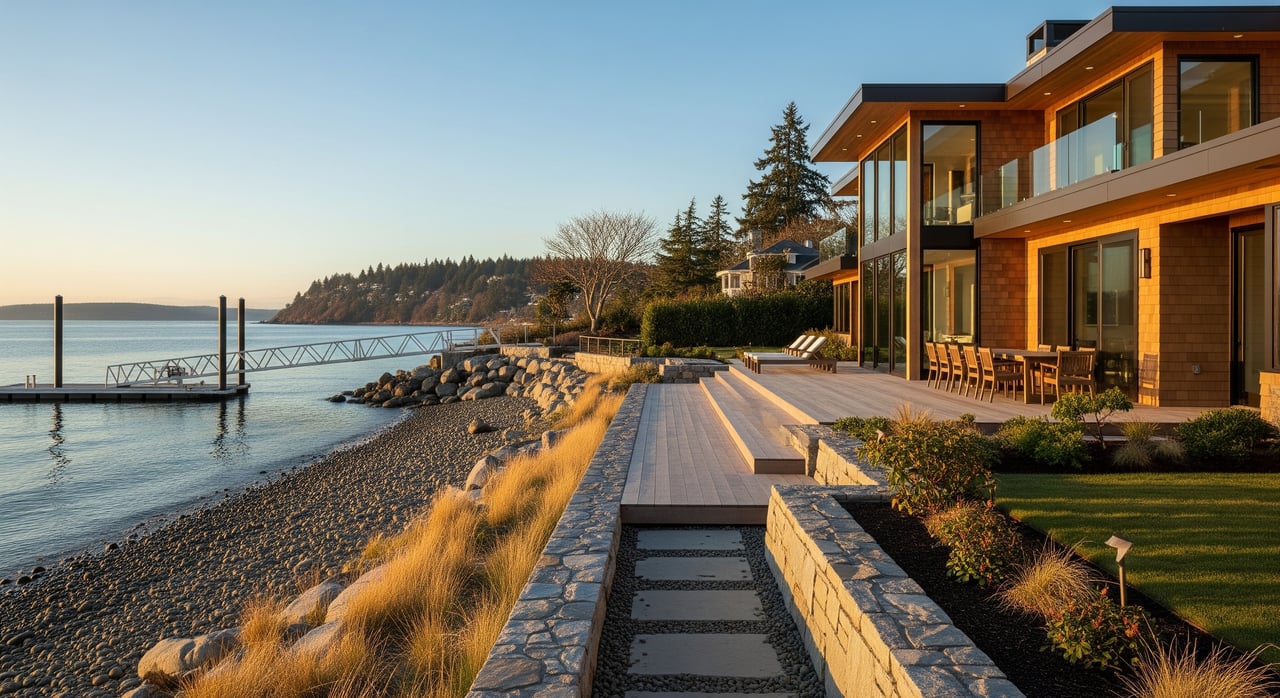
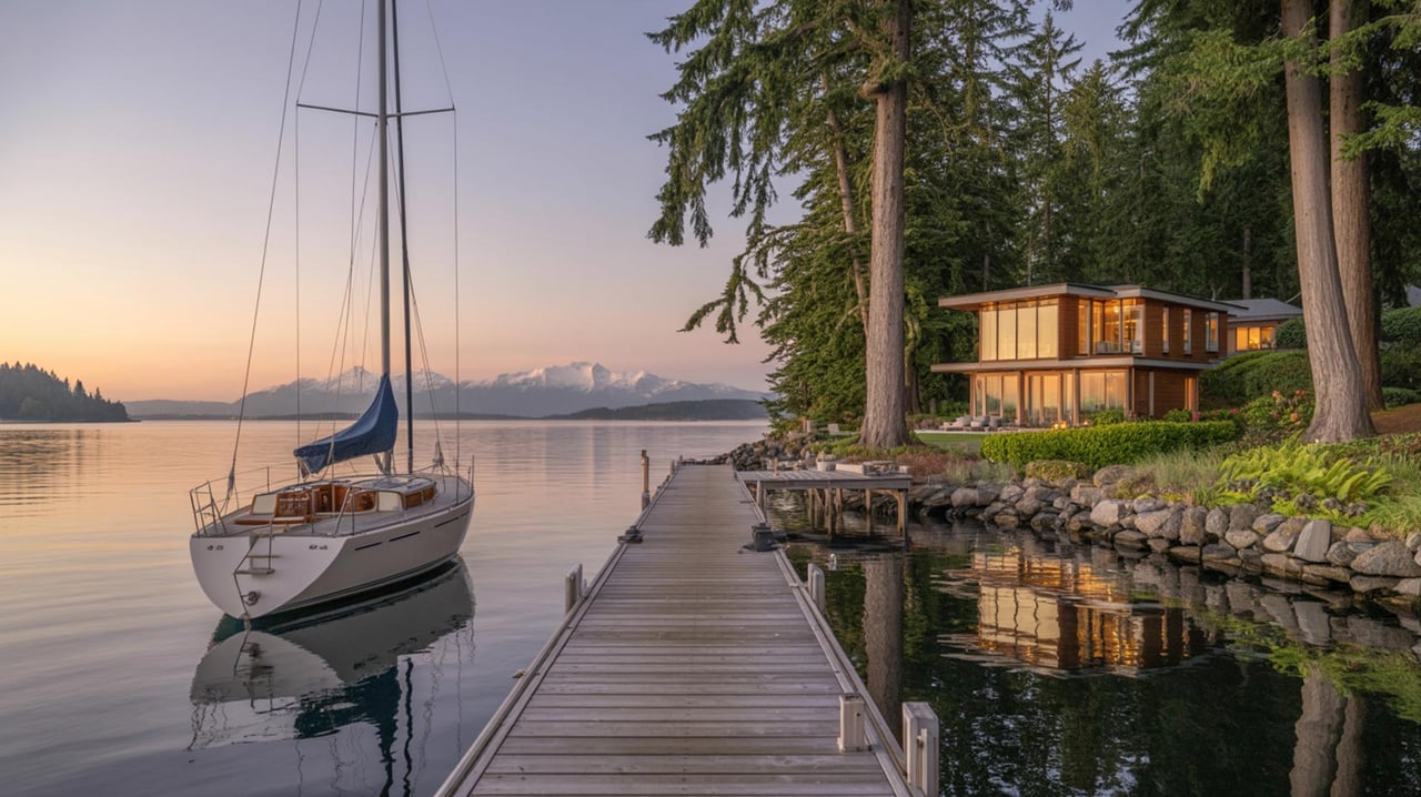
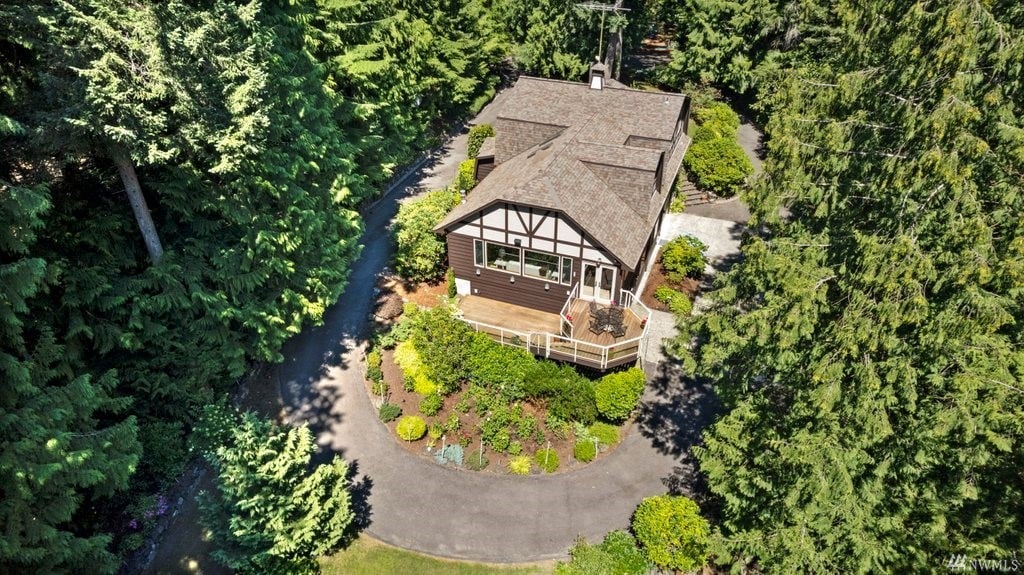
Point White includes the tip that faces Rich Passage and broad, open water. Properties here can sit on deeper lots with low or no bank beach. Where seabed depth allows, you may find deeper moorage and a more expansive view that can include ferries and maritime traffic. If you want big water and potential boat-ready depth, this lane usually checks more boxes.
Shoreline types and permits
Shorelines here vary from low or no bank beaches to small coves. Low or no bank means easier beach access, but also more exposure to wave action and sensitive nearshore habitat. These details matter if you plan to add or modify a dock, rebuild stairs, or maintain bulkheads. Work within Bainbridge Island’s shoreline jurisdiction typically triggers city shoreline review, and sometimes state approvals. You can read the local framework in the City’s Shoreline Master Program. If a dock extends over state-owned seabed, the Washington Department of Natural Resources may require an aquatic lease. Learn how those leases work at DNR’s page on aquatic leasing and the shoreline district.
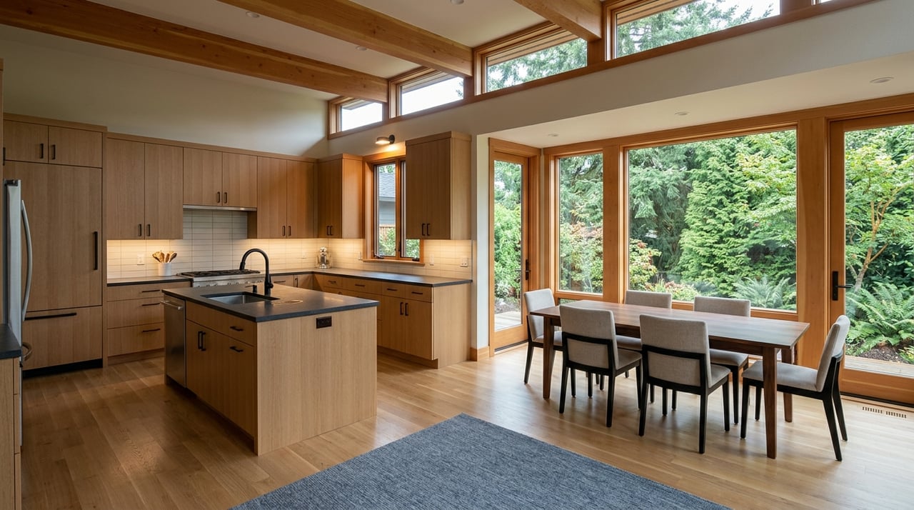
Everyday life and nearby amenities
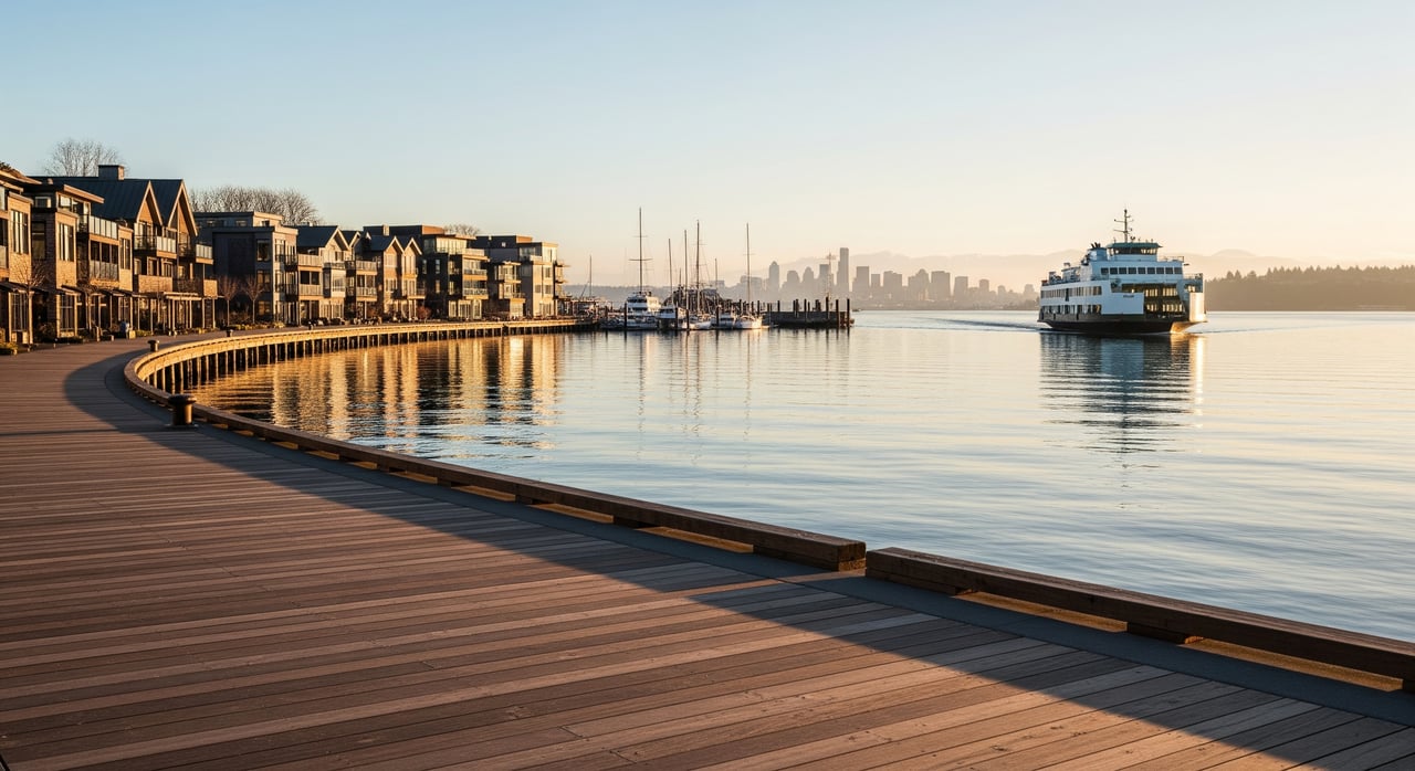
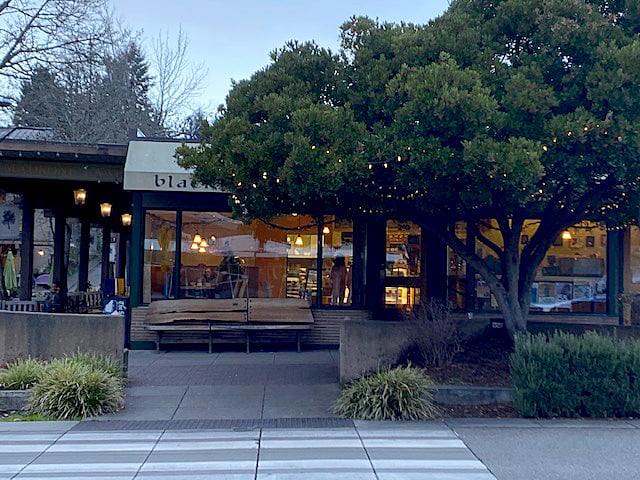
One of the south end’s strengths is daily convenience. Lynwood Center is the closest village hub with small shops, restaurants, and the historic theatre. It is a short drive for most addresses along the lanes. For a quick look at the village, see the Lynwood Center overview.
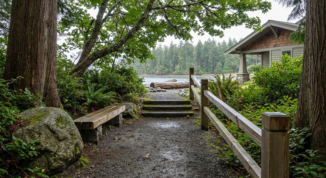
Parks and trails are close by. Schel Chelb Park offers a small playground and saltwater shoreline, described by the Parks & Trails Foundation’s Schel Chelb page. Fort Ward is a larger marine park with a boat ramp and long shoreline, mapped on the parks district’s printable maps. For woodland walks, the Gazzam Lake Nature Preserve has a network of trails just inland.
Utilities and infrastructure to confirm
Sewer versus septic is a key question for any waterfront purchase. Parts of the south island are within the city sewer service area, and others rely on on-site septic. The difference can affect renovation plans, long-term maintenance, and replacement costs. Start with the City’s official sewer service area map and then confirm each parcel’s status with the city and your title company.
Dock and moorage rights are property specific. Ask whether a dock or float has permits, whether there is an active DNR aquatic lease, and what depth you can expect at mean lower low water. Title, survey, and city permit files will help you verify these details.
Which lane fits you
Use these quick comparisons to align each lane with your goals:
- Views and feel: If you want broad, open-water views and maritime activity, Point White often delivers. If you prefer sunsets and a cottage-scale shoreline, Crystal Springs shines.
- Moorage potential: Point White more commonly supports deeper moorage and larger docks where depth allows. Crystal Springs may skew toward smaller private floats or reliance on public access points.
- Beach access: Low or no bank beaches are common around the point. Crystal Springs tends to offer intimate beach coves and easy shore moments tucked along the lane.
- Convenience: Both are close to Lynwood Center. Expect a short drive for most errands from either lane.
On-the-ground tests before you decide
A few simple site visits can clarify which lane fits your lifestyle:
- Walk the beach at low tide to see composition, neighbor tie-up spots, and practical moorage depth.
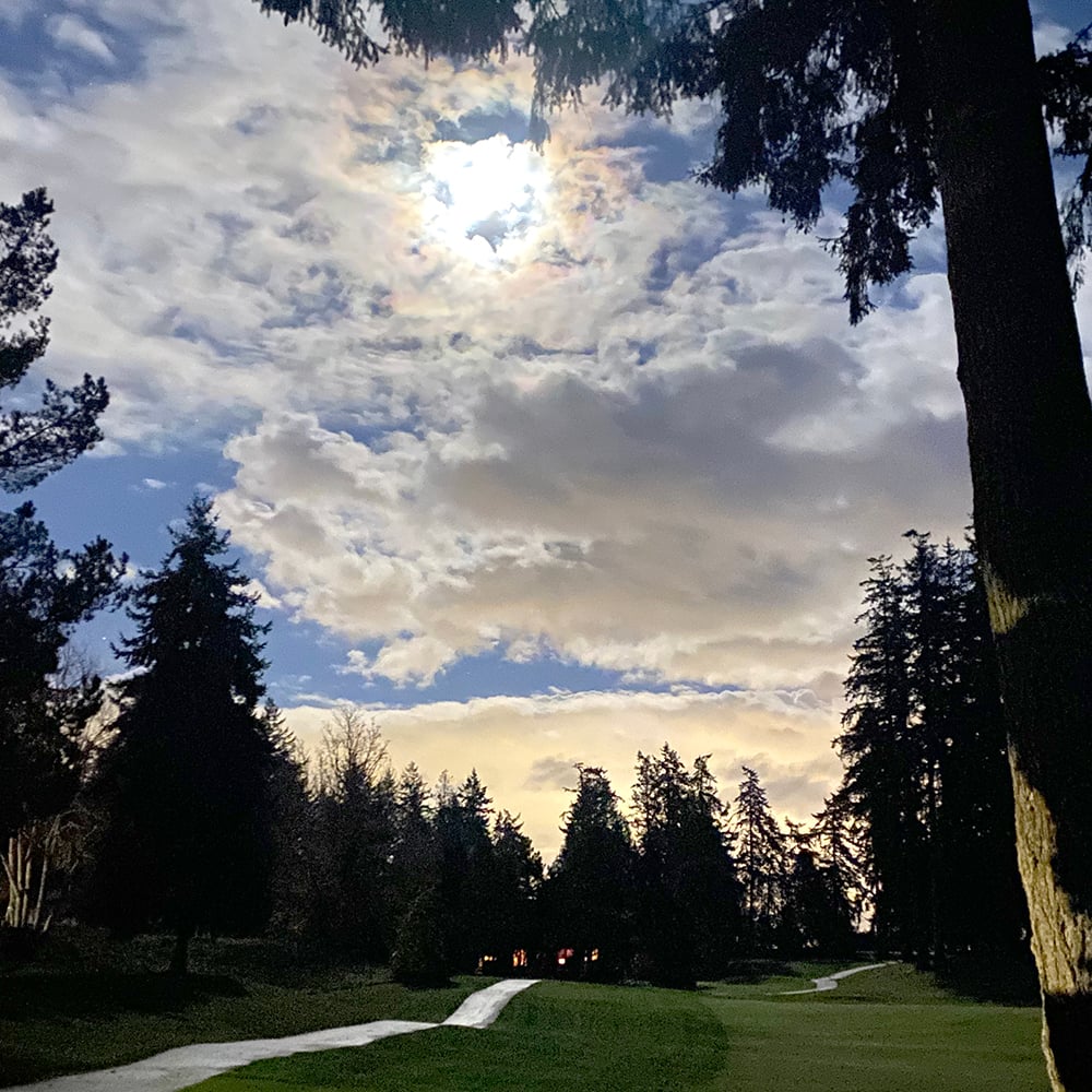
- Visit at dusk to compare sunset light along Crystal Springs with the open horizon at the point.
- Stop at the Crystal Springs Public Fishing Pier and Schel Chelb Park to gauge public activity, parking, and water use.
- Ask listing agents for copies of shoreline permits, any DNR aquatic leases, and sewer or septic documentation. These items will shape what you can change post-close.
Buyer due diligence checklist
Use this checklist before you remove contingencies on a waterfront home in either lane:
- Dock and moorage status. Confirm any existing dock or float, permits on file, and whether a DNR aquatic lease exists and is transferable. Start with DNR’s guidance on aquatic leasing.
- Shoreline permits and history. Request copies of city shoreline permits and any state approvals. The City’s Shoreline Master Program outlines the local rules.
- Sewer versus septic. Verify connections with the City’s sewer service area map and utility records. Ask for septic inspection and maintenance history if on septic.
- Flood and elevation data. Identify the FEMA flood zone, check for an elevation certificate, and get insurance estimates. Kitsap County’s planning portal has community development maps to inform your review.
- Title, easements, and access. Confirm tideland ownership where applicable, recorded easements, and any public rights-of-way.
- Habitat and restrictions. Ask whether eelgrass or other nearshore habitat may limit new overwater structures. Review local shoreline standards and consult with specialists as needed.
- Water, garbage, and roads. Clarify providers and any private road or stormwater maintenance responsibilities.
- Noise and light. Visit at different times and tides to assess ferry noise, wakes, and winter daylight.
- Trees, slope, and stairs. Review a recent survey or topographic map to confirm slopes, stairs, and permitted shoreline structures.
- Renovation feasibility. Discuss your plans with the City early to understand setbacks, height limits, and shoreline buffers.
Ready to compare homes on the lanes
If Crystal Springs feels like your sunset postcard, or Point White checks your boating boxes, the next step is a focused tour with a local advisor who knows the micro-differences from one stretch of shoreline to the next. Our team will help you verify moorage depth, navigate shoreline rules, and confirm sewer or septic so you can move with confidence.
Have questions or want to walk the lanes together? Make time for coffee with McLaughlin & Co. and schedule a consultation.
FAQs
What is the difference between Crystal Springs and Point White on Bainbridge Island?
- Crystal Springs leans west-facing with cottage-scale homes and intimate beach access, while Point White often features deeper lots, low or no bank beaches, and broader Rich Passage views.
Are docks allowed on Bainbridge Island waterfront, and what permits are needed?
- Many docks require city shoreline review and may also need state approvals; start by reviewing the City’s Shoreline Master Program and ask for existing permits and any DNR aquatic lease records.
How close are Crystal Springs and Point White to Lynwood Center amenities?
- Both lanes sit near Lynwood Center, the south-end village with dining, shops, and the theatre, typically a short drive for day-to-day errands; see the Lynwood Center overview.
What should I know about sewer versus septic for south-end waterfront homes?
- Parts of the area are in the city sewer service area while others rely on septic; confirm parcel status using the City’s sewer service area map and request recent septic records if applicable.
How do I check flood risk for a waterfront property in these lanes?
- Identify the FEMA flood zone and look for elevation certificates; Kitsap County’s planning portal offers community development maps that can help you evaluate floodplain context before seeking insurance quotes.