If you are drawn to long water views and Seattle skyline moments, Manitou Beach can feel like it was made for you. This small shoreline pocket on Bainbridge Island offers close-in vistas, a quieter setting than Winslow, and quick access to Rolling Bay. The flip side is that view quality, utilities, shoreline rules, and coastal risks vary lot by lot. In this guide, you will learn how to evaluate views, compare lot types, confirm utilities, plan for permits, and weigh daily-life tradeoffs so you can buy with confidence. Let’s dive in.
Why Manitou views stand out
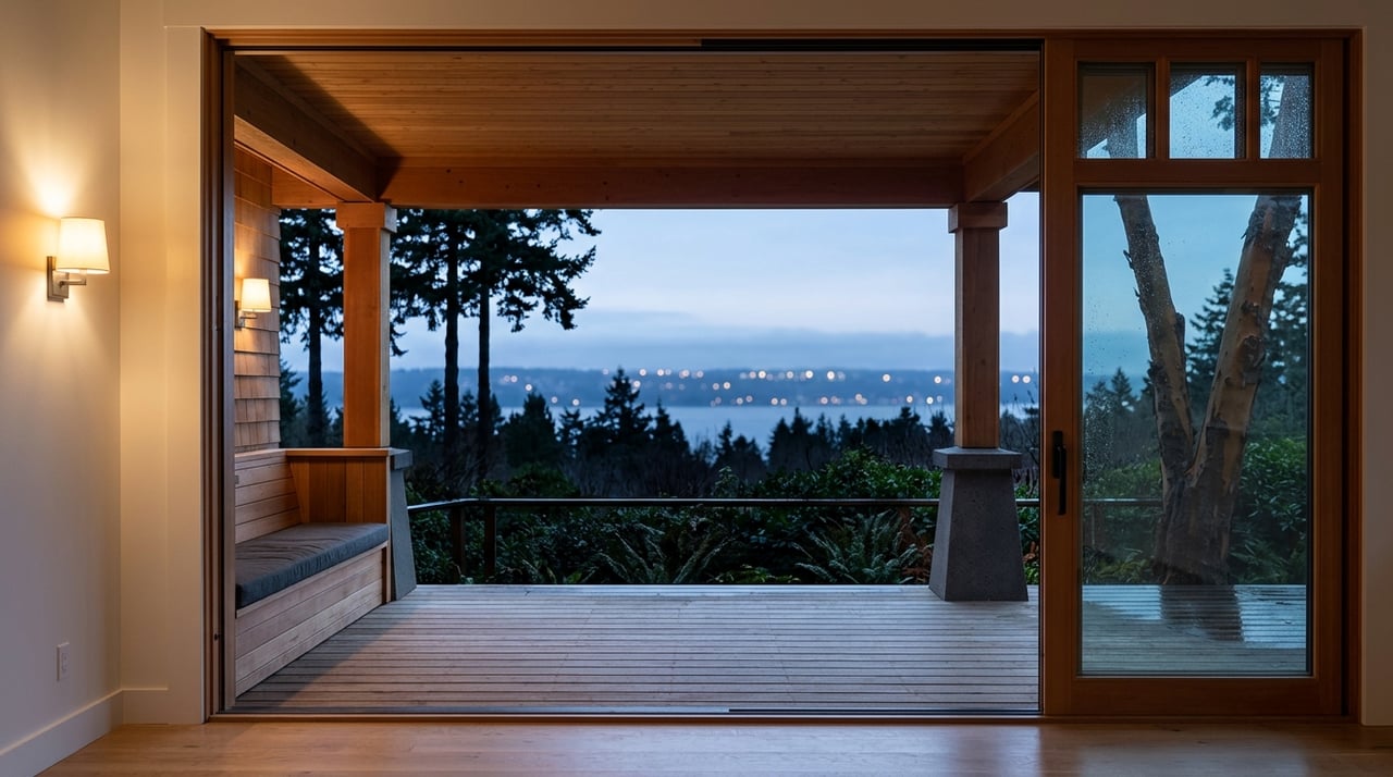
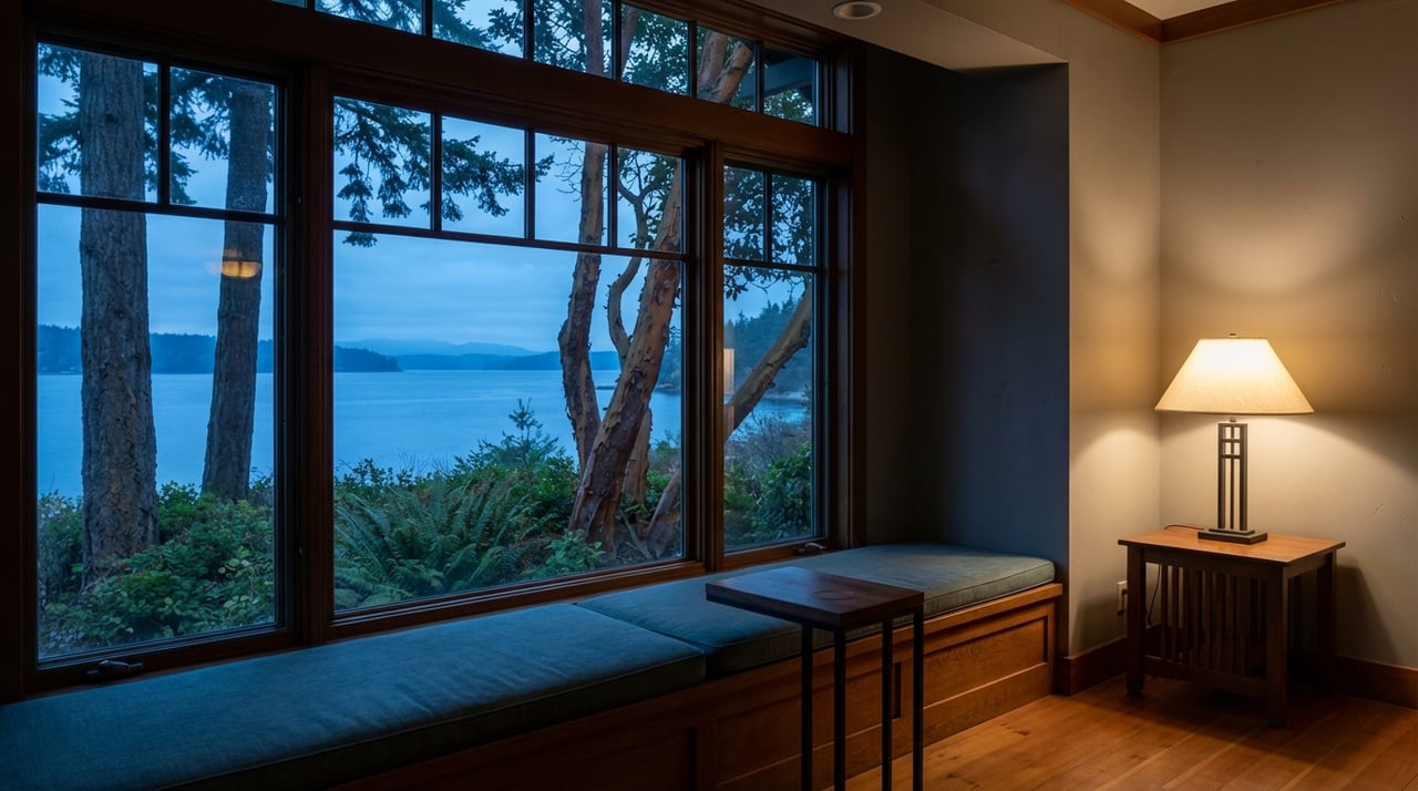
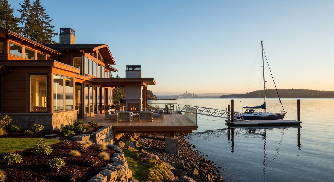
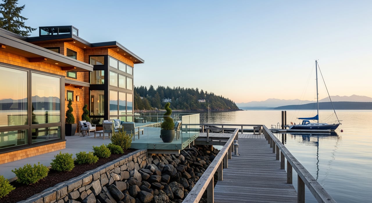
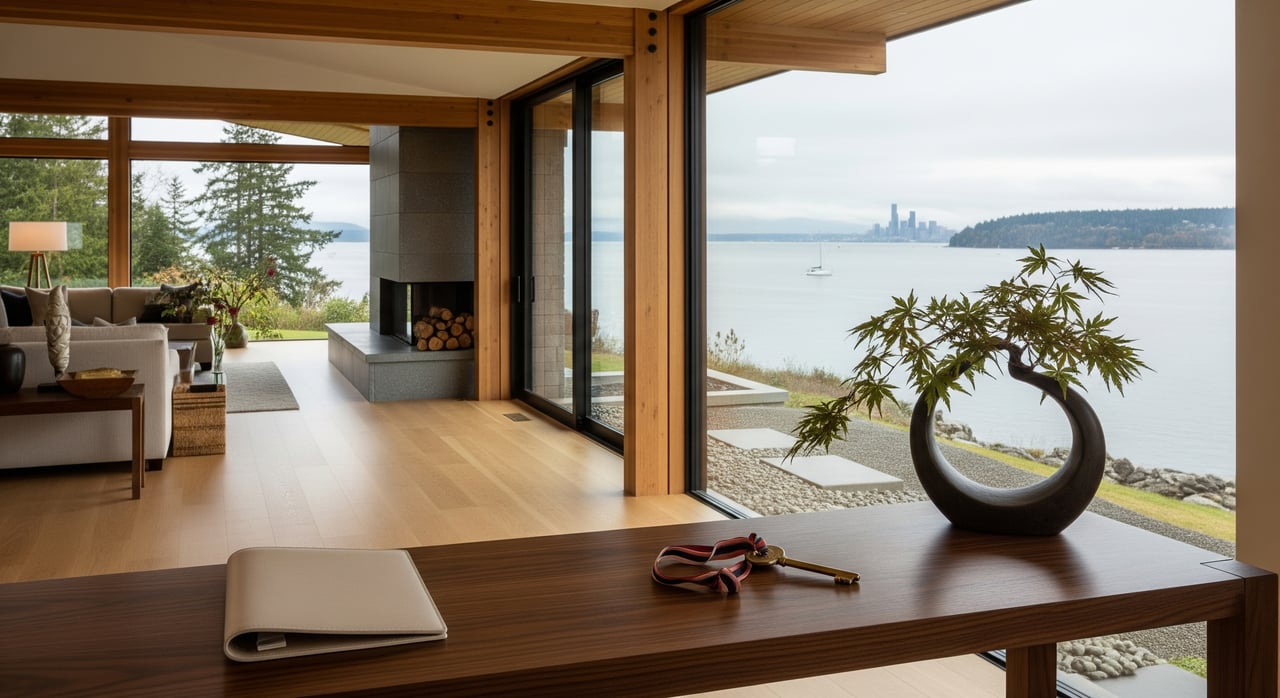
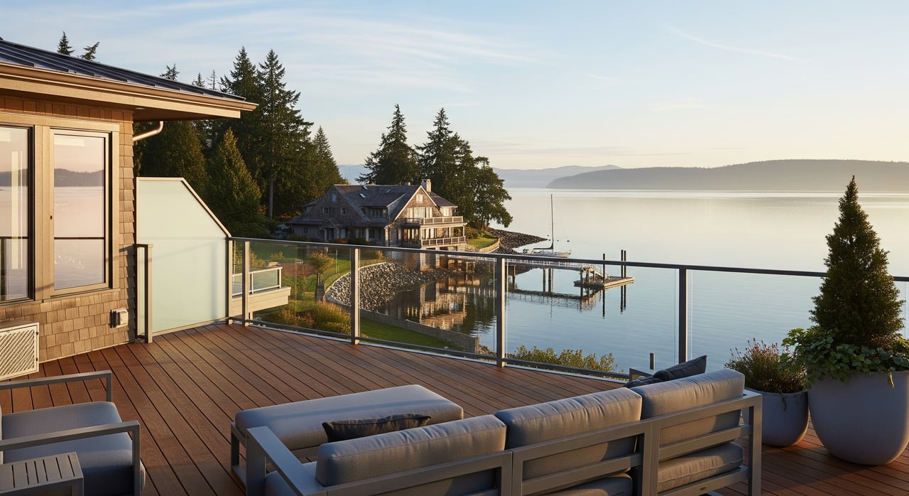
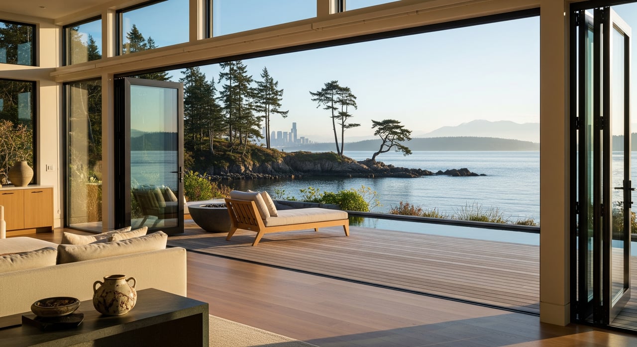
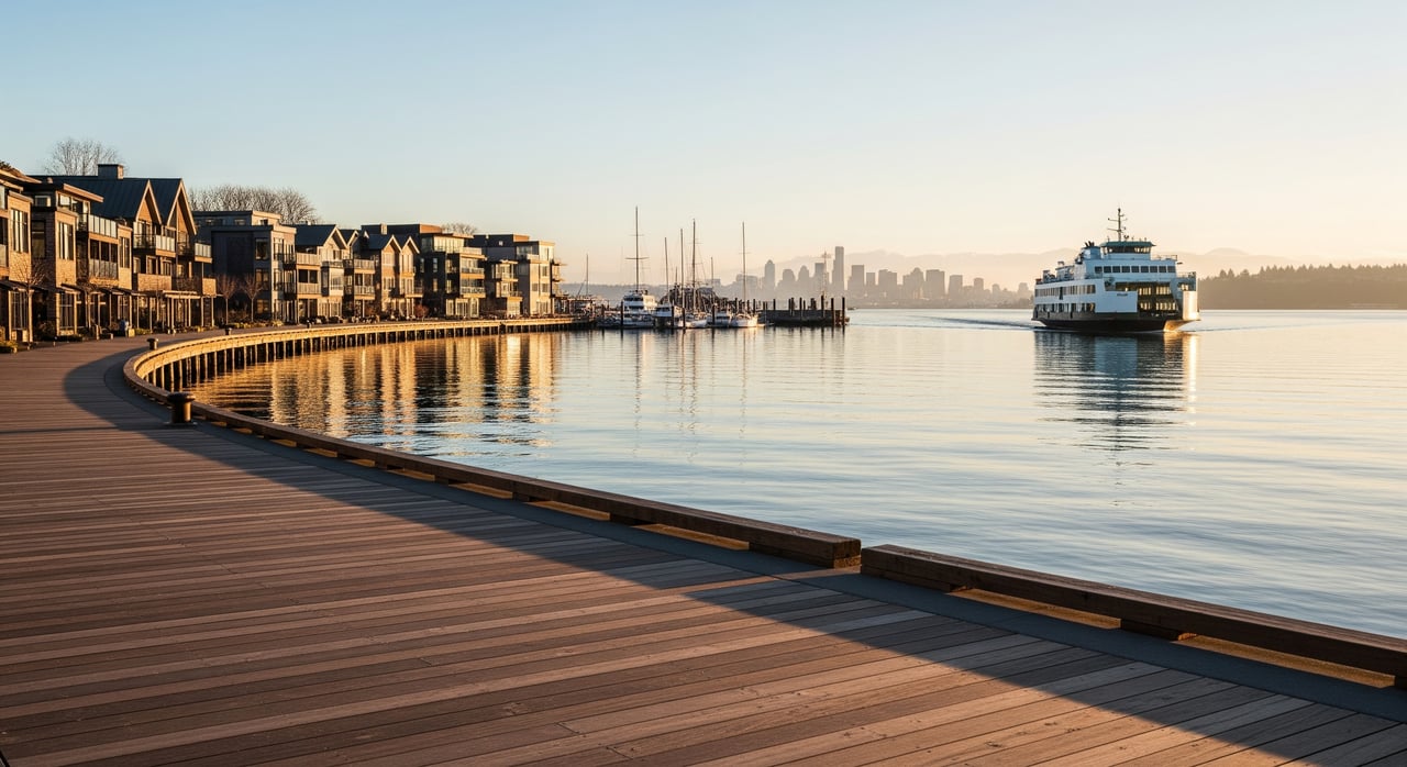
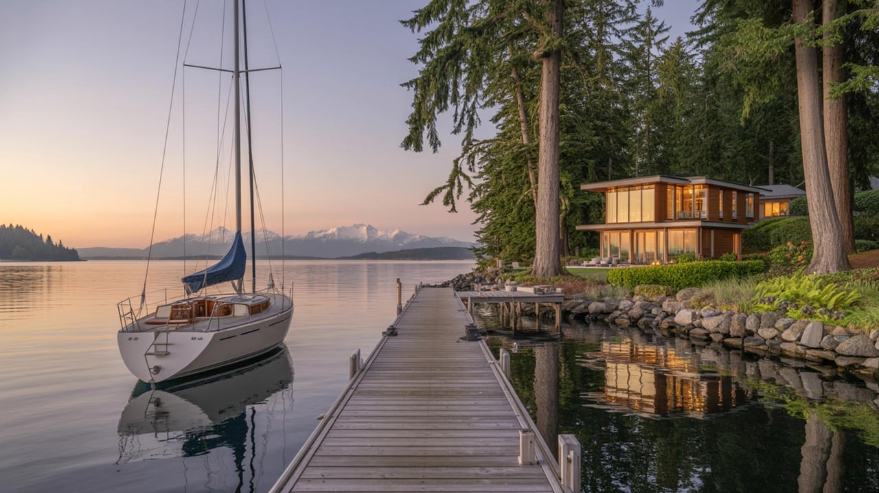
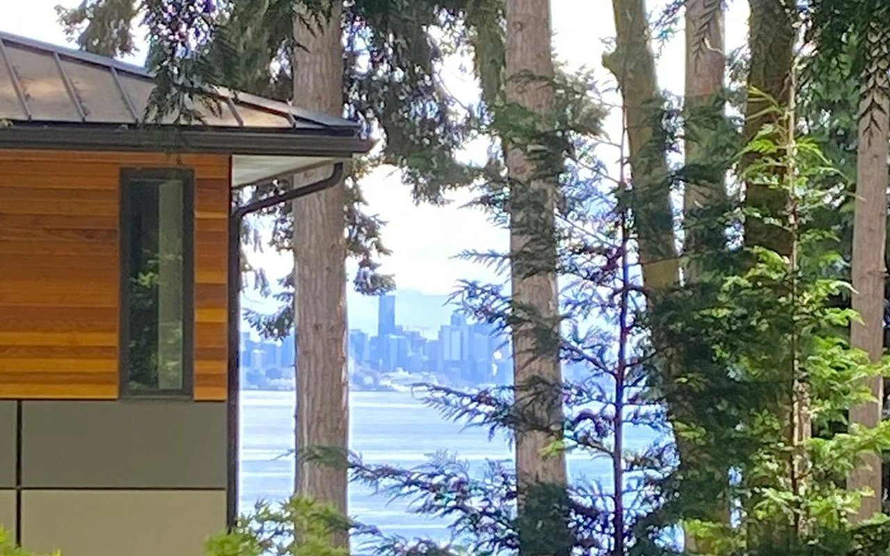
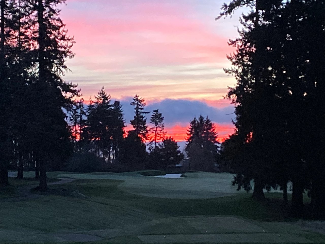
From Manitou Beach and Murden Cove, many homes look across the Sound to the Seattle skyline, and on clear days to Mount Rainier. Some vantage points also pick up the Olympic Mountains and nearby shipping lanes. These view targets are documented in the City’s shoreline materials and neighborhood guides, which note how sightlines shift along the cove. You can preview the shoreline context in the City’s Shoreline Access Guidebook.
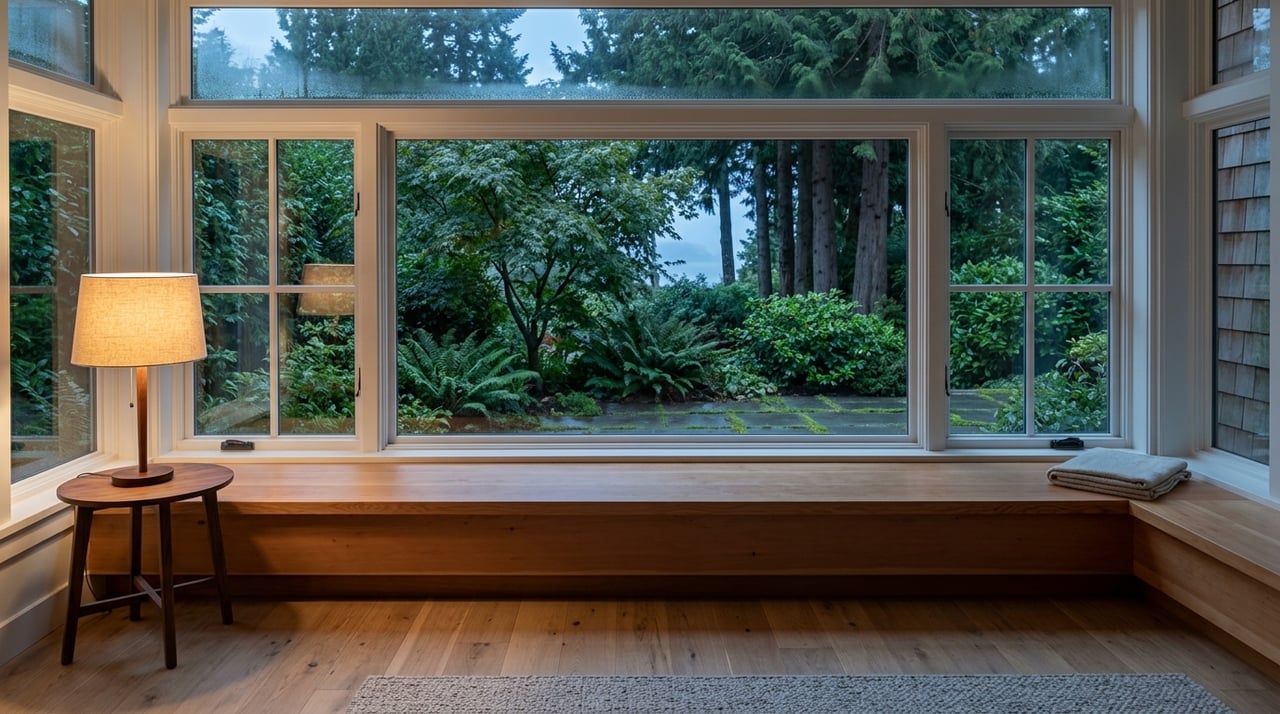
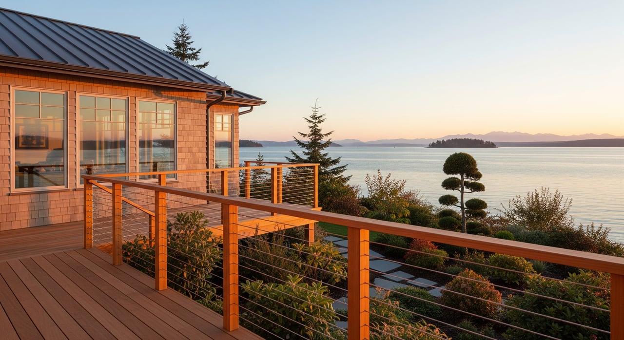
Orientation matters. East and east-southeast exposures tend to frame Seattle and, in high-clarity weather, Mount Rainier. Portions of the roadway curve can capture westward silhouettes of the Olympics. Small differences in lot angle and the mature tree canopy can change a full skyline into a filtered glimpse. Treat listing photos as helpful, not definitive, and plan to verify sightlines on site.
Two common view risks are trees and future nearby construction. Local zoning and shoreline height controls shape what can be built and where. If protecting a specific view is critical, ask your broker to review applicable code sections and recent permits near the property.
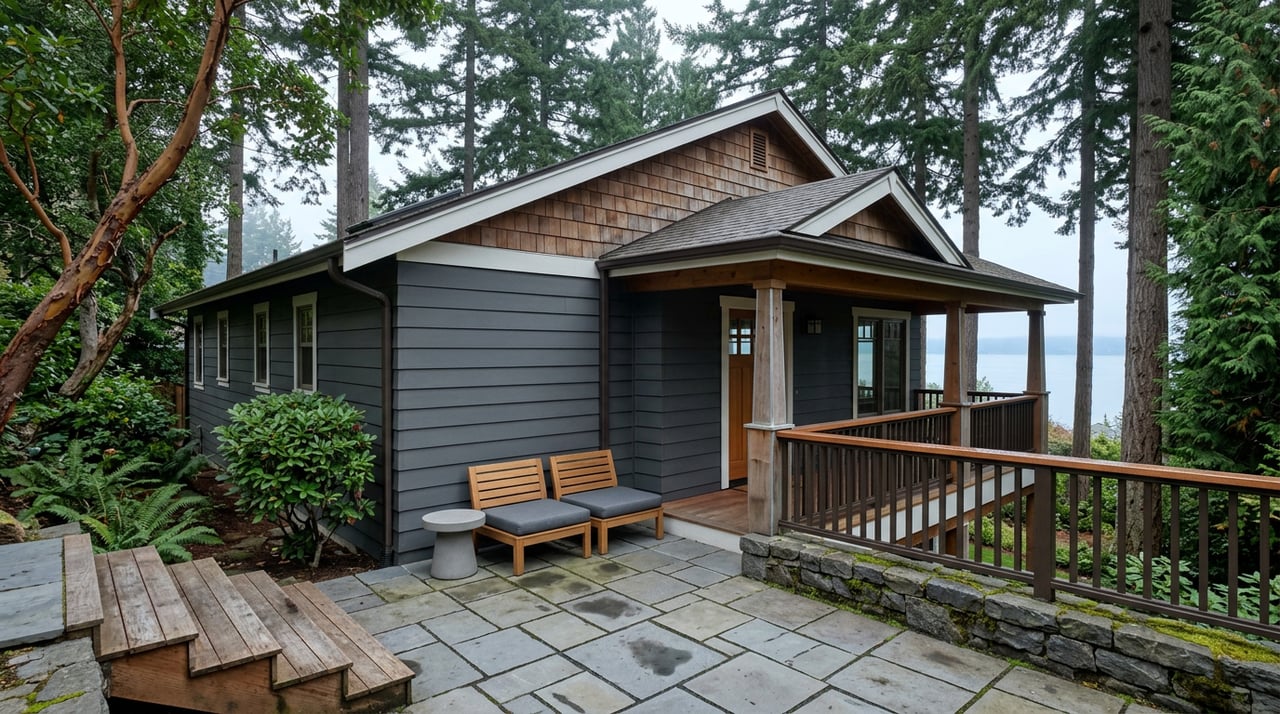
Lot types and layouts
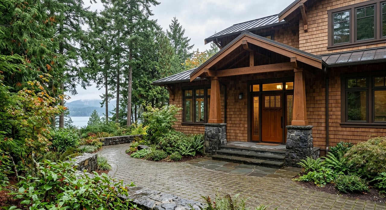
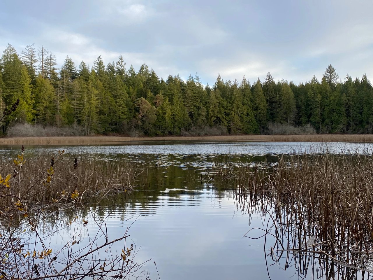
Manitou is a mix of low-bank waterfront, bluff and mid-slope lots, and interior homes a short walk from the shore. The road was historically built across a barrier and backshore area, and you may see wetlands immediately inland in places. The City’s Shoreline Access Guidebook provides helpful context on these shoreline landforms.
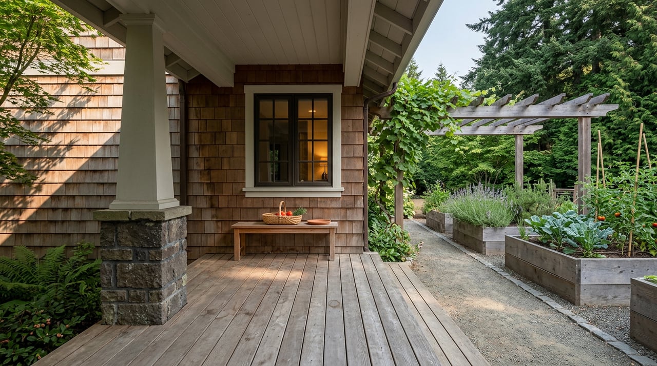
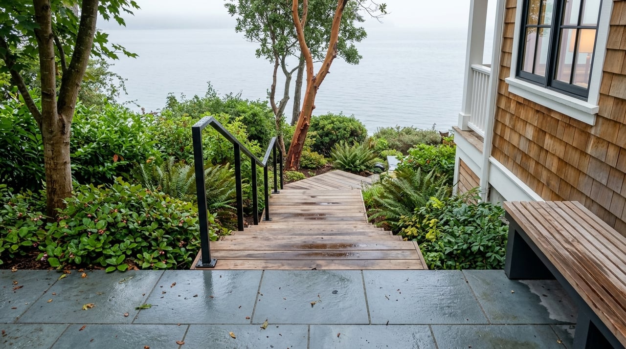
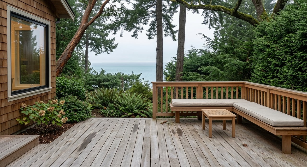
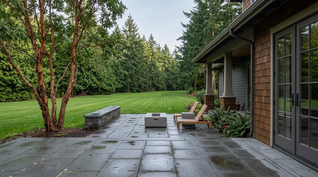
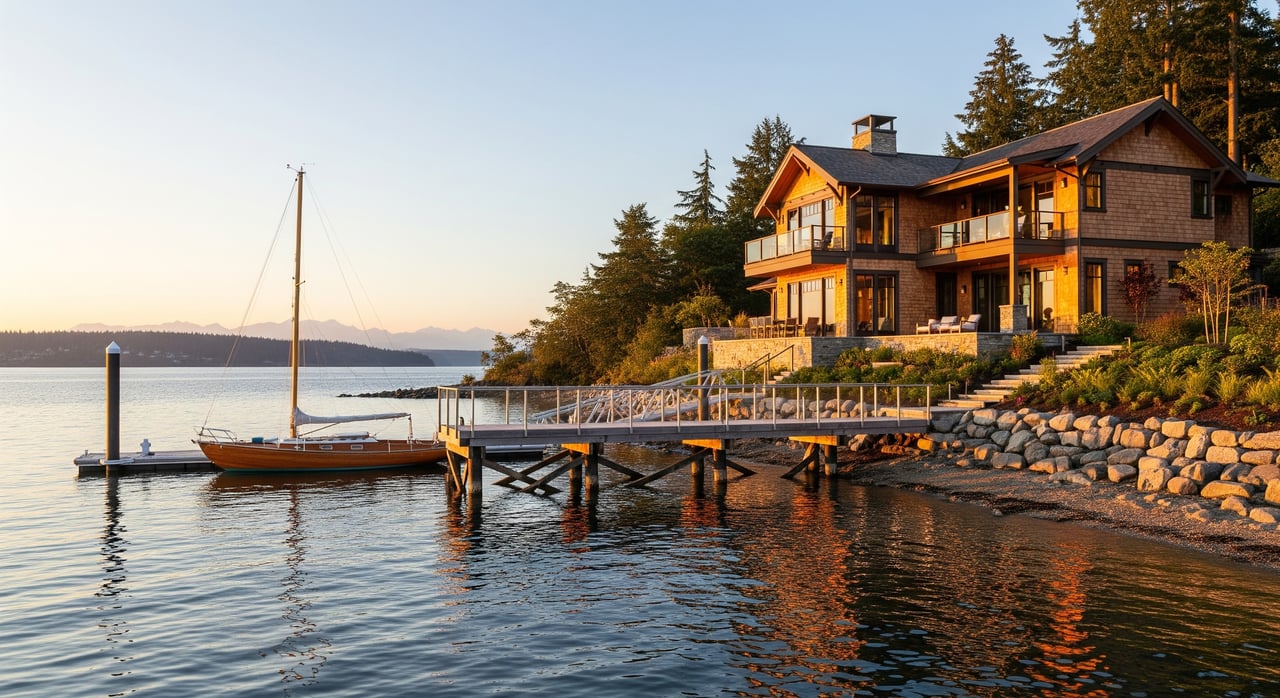
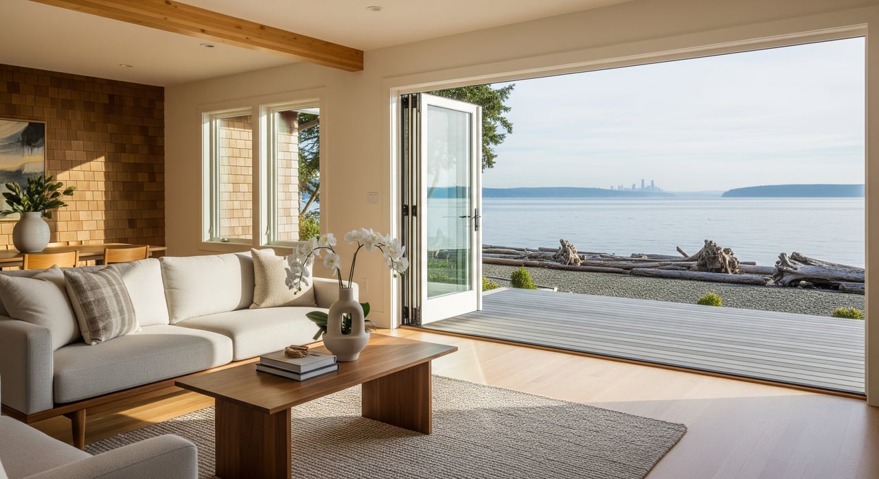
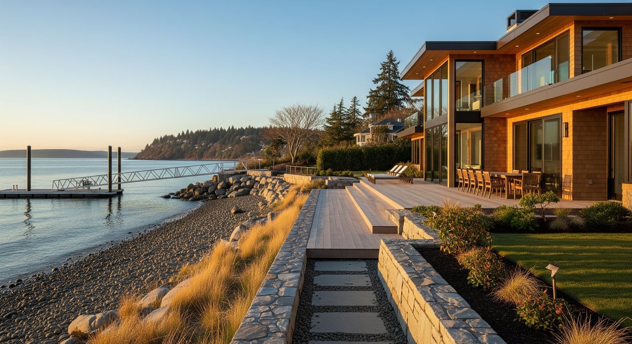
Low-bank waterfront
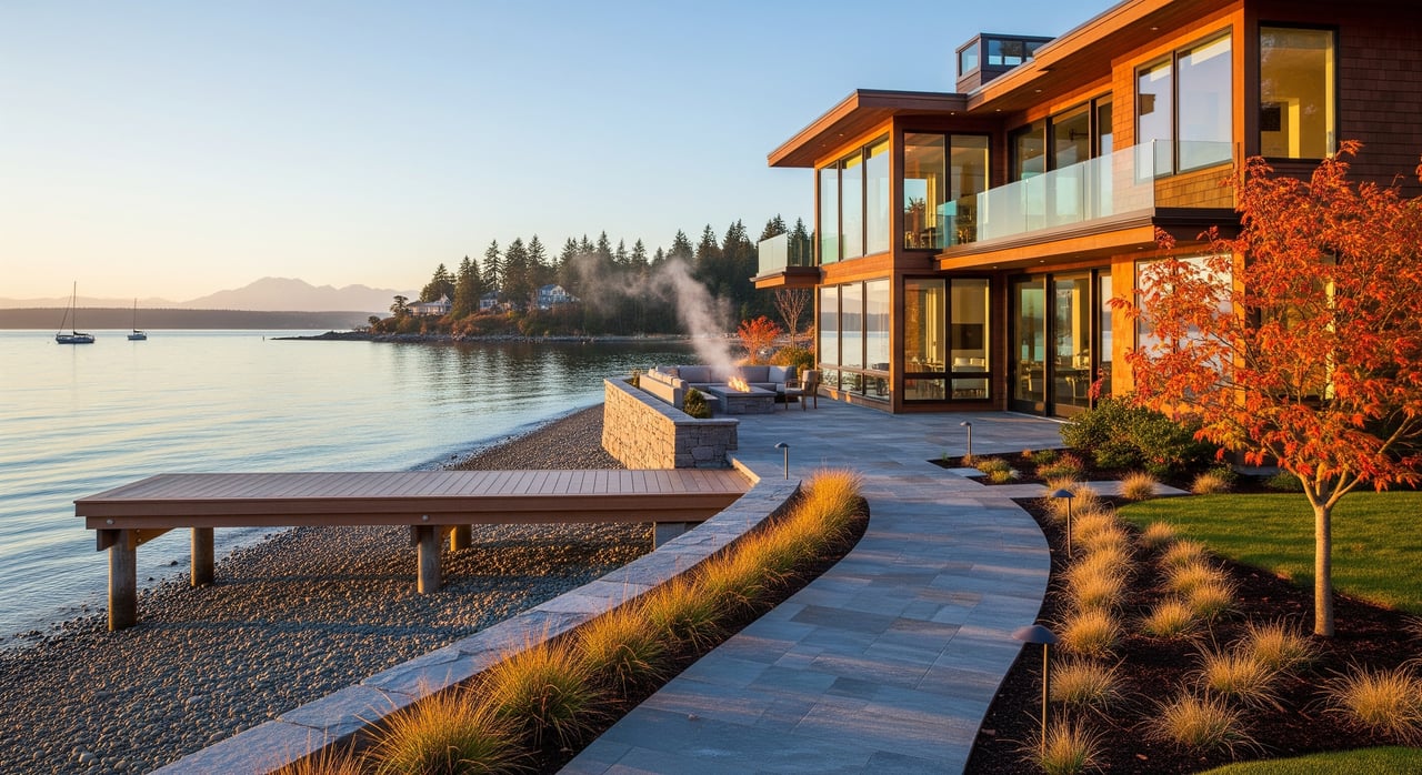
Waterfront parcels here often sit close to the beach with seawalls or bulkheads, compact seaside terraces, and direct shore access. Many are modest in footprint compared with upland lots, with representative examples in the roughly 0.15 to 0.30 acre range. Always confirm exact lot size and waterfront boundaries with a current survey and county records before you rely on a number. Bulkhead condition and shoreline armoring are key due-diligence items.
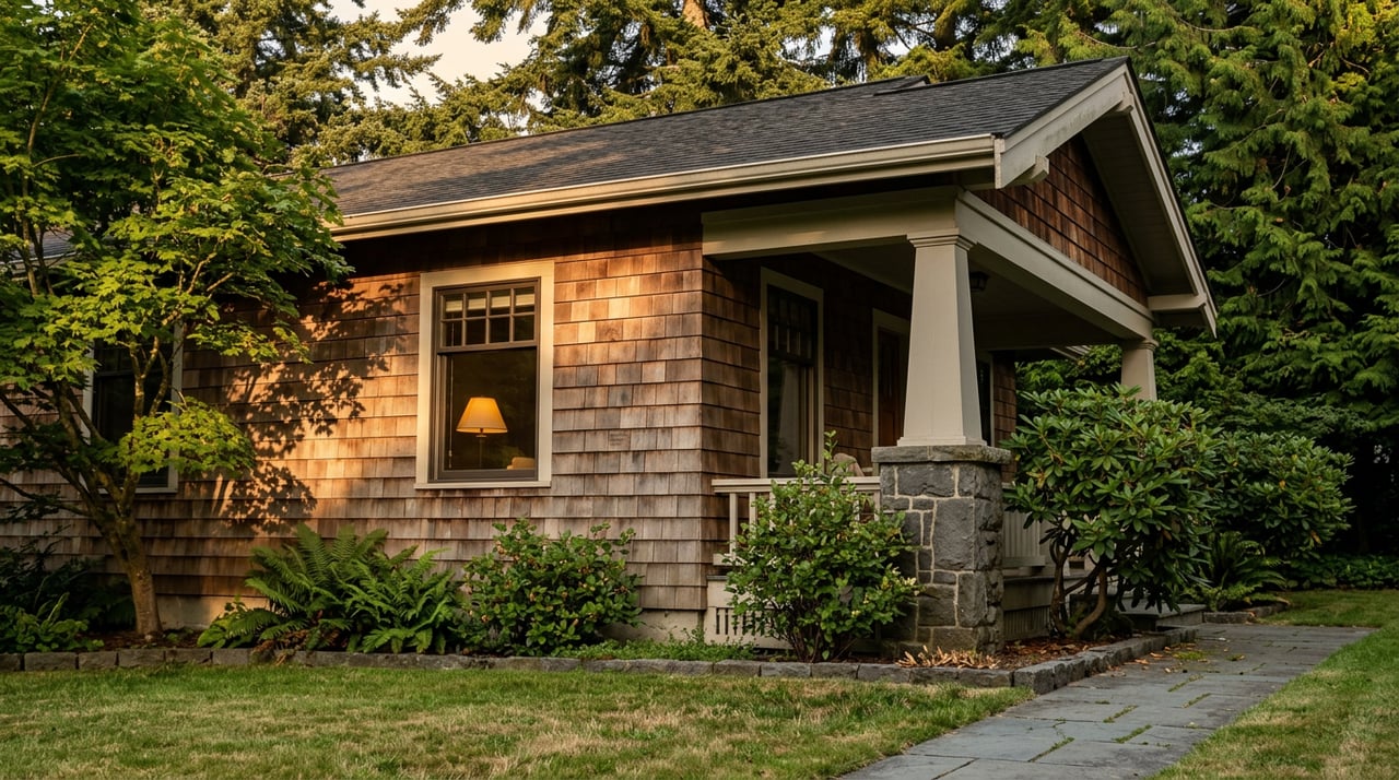
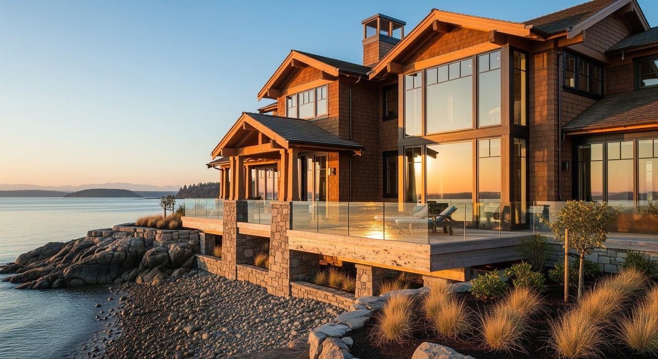
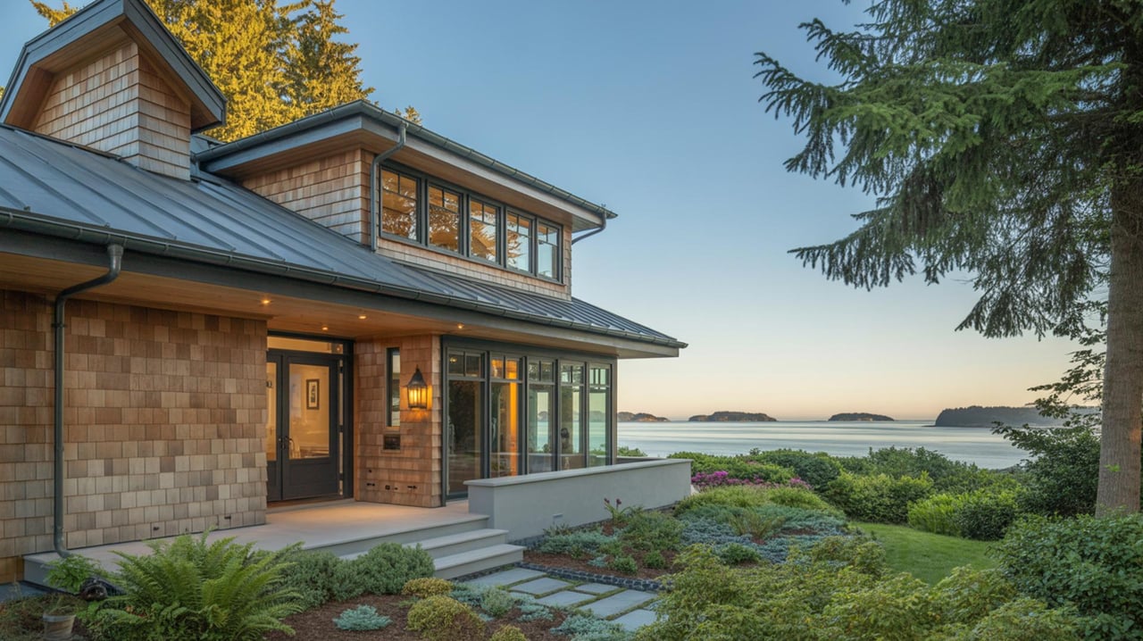
Bluff and upland
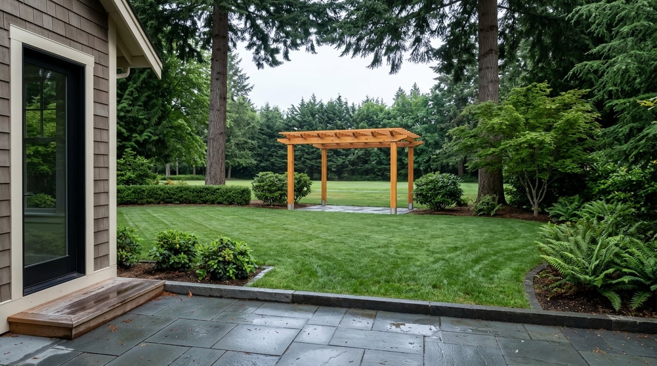
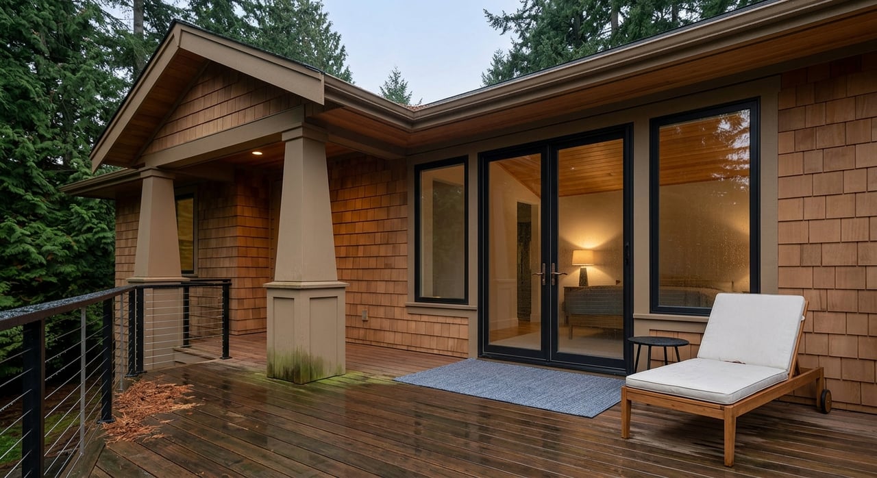
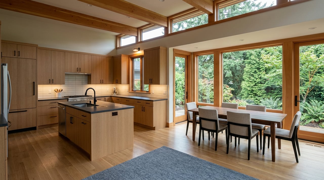
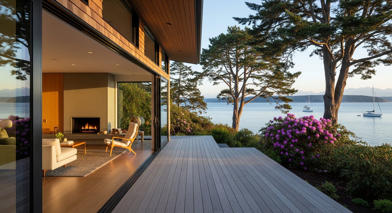
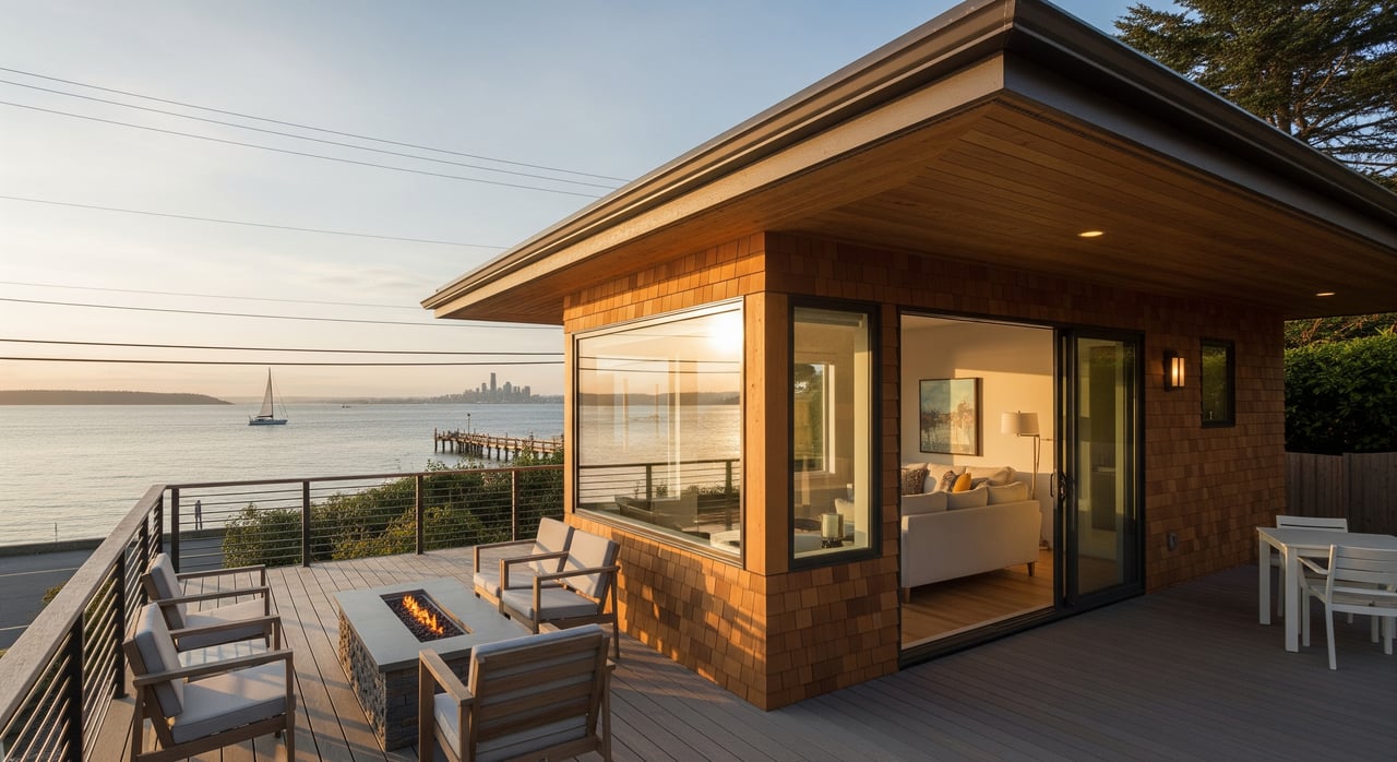
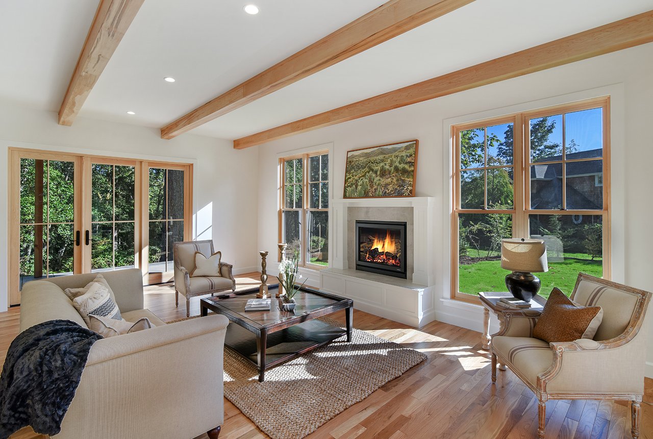
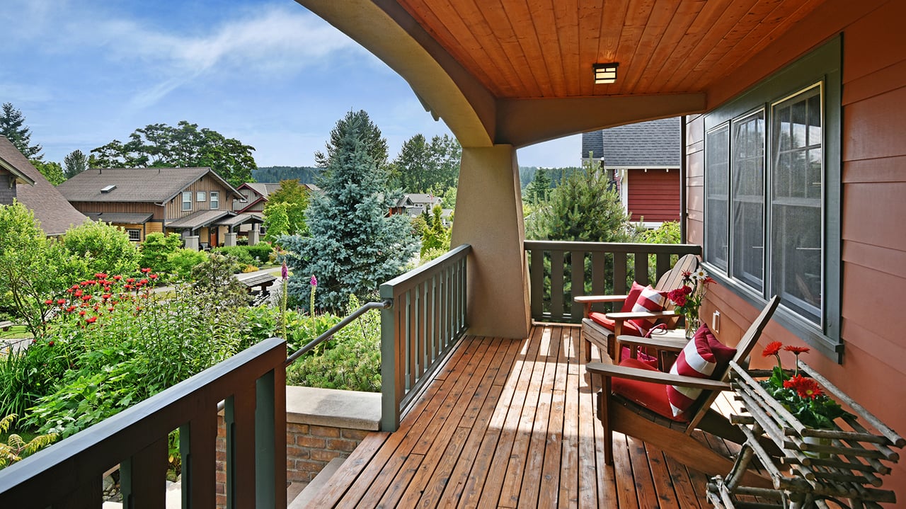
Upland and mid-slope homes rely on elevation for sweeping views. You will find wider decks and yard space than many low-bank sites, but views depend on tree management and the angles between homes. Pay attention to how a neighbor’s roofline or seasonal foliage might shape the scene from main rooms.
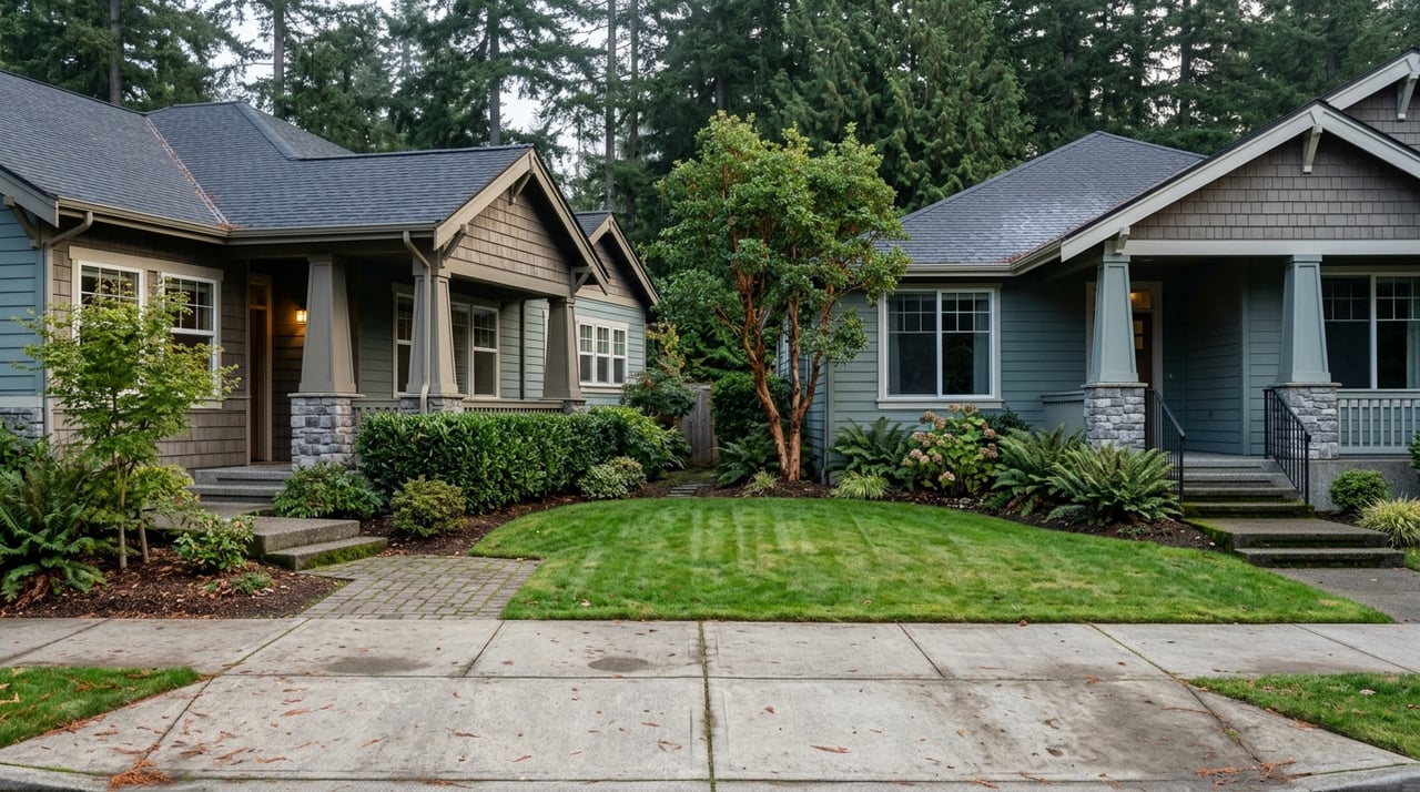
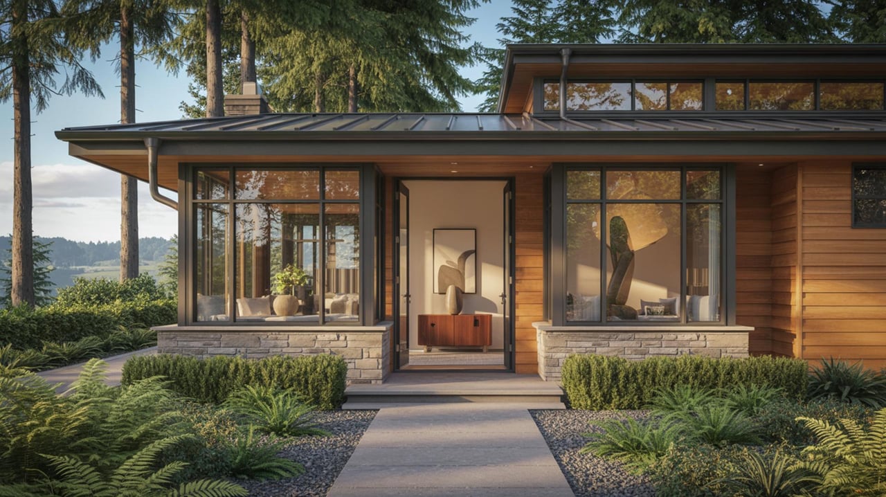
Interior nearby homes
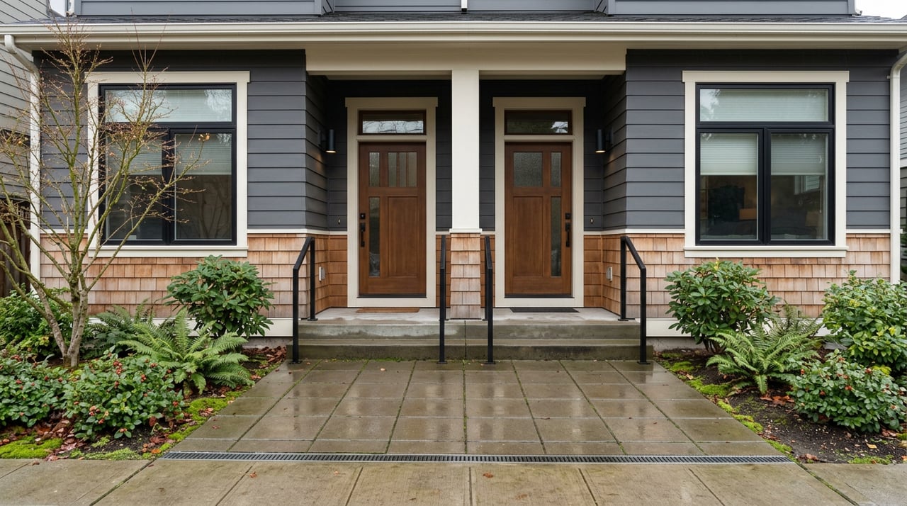
A block or two off the water, you can still find partial water or skyline views, sometimes improved by selective thinning where allowed. Because this corridor includes backshore and wetland areas, verify setbacks and buffers before you plan significant yard changes. Interior streets can feel especially quiet, with the shoreline just a short stroll away.
Utilities, permits, and rules
Sewer vs. septic
Many Manitou parcels, especially along the shoreline and older homes, are served by on-site septic rather than city sewer. To confirm service, start with the City’s Water and Sewer Availability page and the City’s Sewer Service Area map. If a property is on septic, order a septic inspection and review Kitsap Public Health’s records. Major remodels or bedroom additions often trigger septic redesign or upgrades, and the county outlines processes on its onsite sewage guidance page.
Shoreline permits and height
Work inside shoreline jurisdiction is regulated by the City’s Shoreline Master Program and related municipal code. Seawalls, bulkheads, and significant shoreline modifications commonly require shoreline or substantial development permits, along with setbacks and height controls that vary by designation. If you are planning an addition or a new build, budget time and costs for reports, mitigation, and possible conditional-use or variance processes. You can review the framework in BIMC Chapter 16.12.
Protecting your view
Trees and neighbor projects are the most common view changes over time. Ask your broker to check recent and pending permits near your target address, confirm any view covenants on title, and discuss municipal height rules that could affect future view corridors. When in doubt, stand at multiple points on the lot and in adjacent public areas to visualize sightlines.
Coastal hazards to factor in
Manitou Beach and Murden Cove are flagged in the City’s 2024 Sea-Level Rise Vulnerability and Risk Assessment for near-term localized flooding, road-access vulnerability, wetland inundation, and longer-term shoreline change. These risks can affect low-lying structures, access roads, and septic drainfields over time. Review the City’s Sea-Level Rise Assessment and consult FEMA flood maps with your insurance advisor when evaluating waterfront options.
If you are weighing two similar homes, consider how elevation, bulkhead condition, and driveway location influence resilience and long-term maintenance. Buyers who plan to hold a property for decades should build sea-level rise and storm surge into their insurance and improvement plans.
Access and daily life
You are about 8 to 12 minutes by car from Winslow’s ferry terminal and downtown services, depending on the exact address and traffic. Kitsap Transit operates routes that connect neighborhoods to the ferry, including service noted along Manitou and Day Road such as Route 94. This can help if you prefer to leave a car at home on commute days.
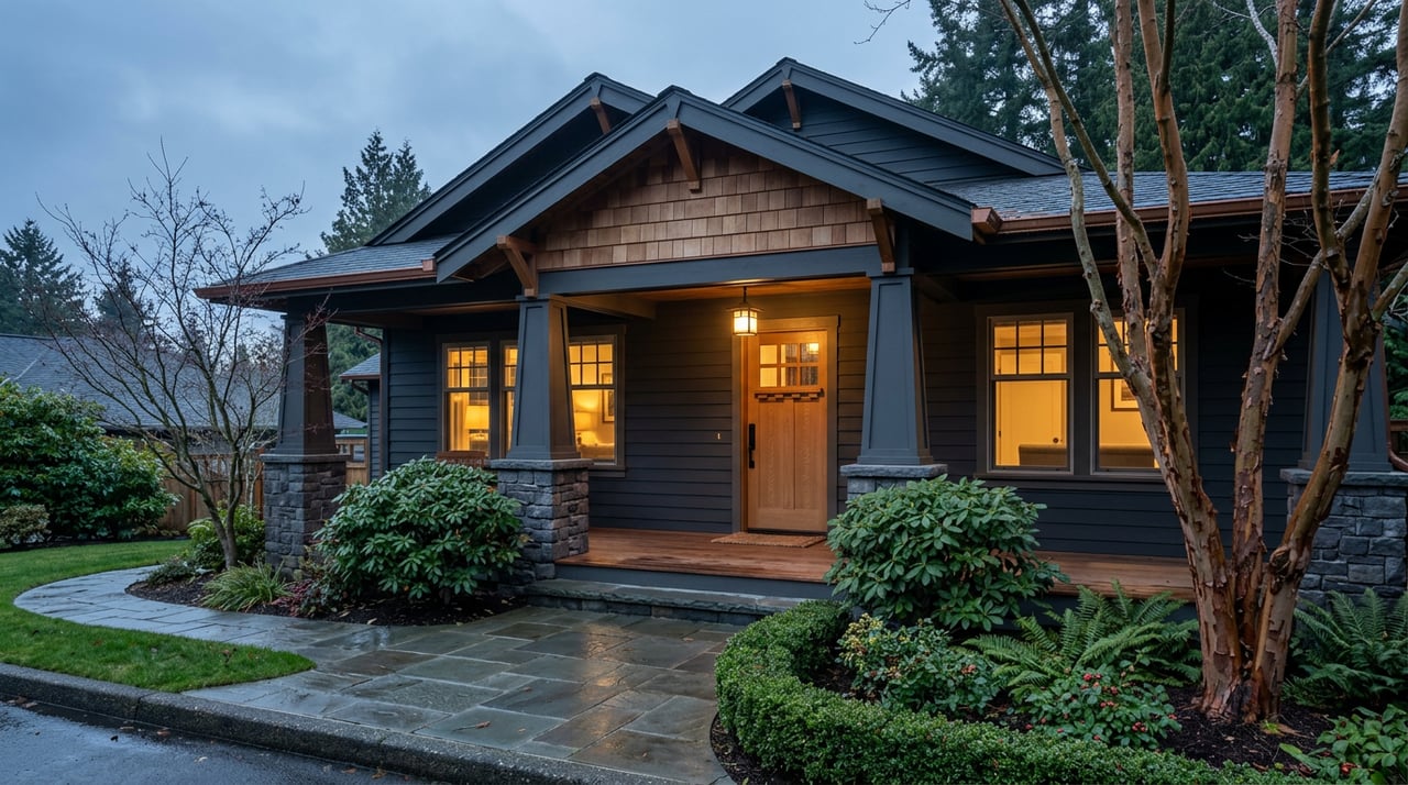
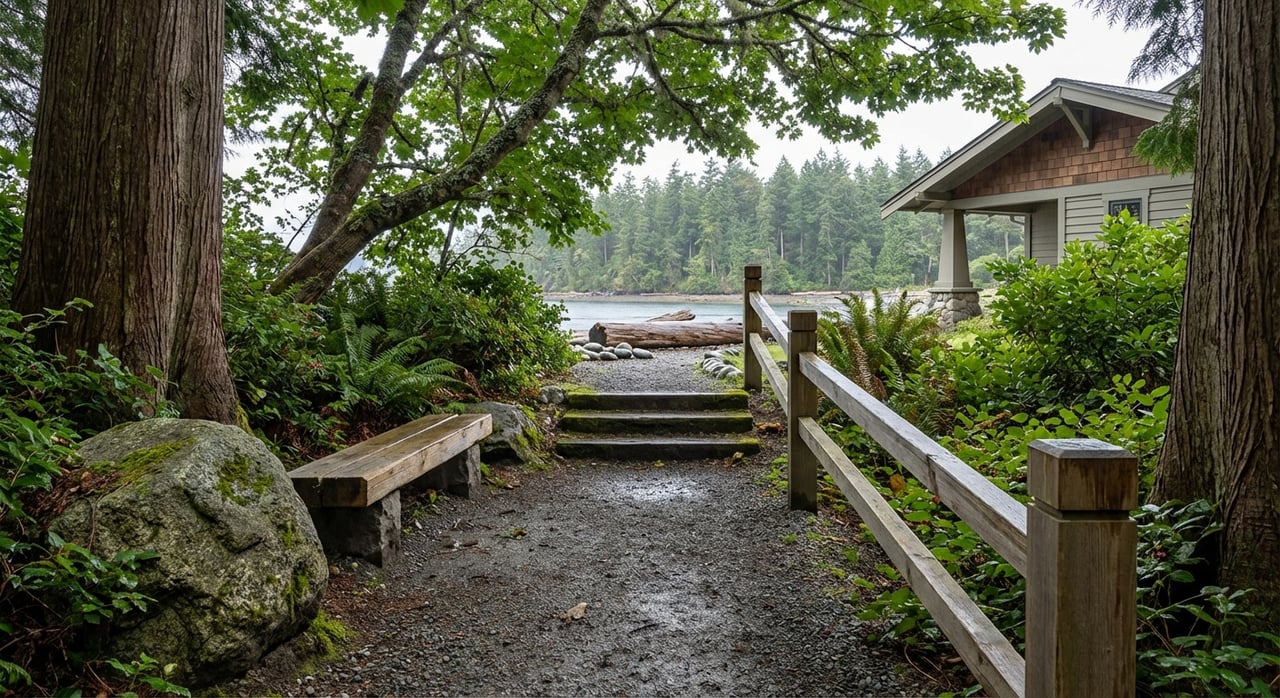
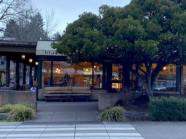
Local character is quiet and beach-focused. The primary public shoreline here is compact: the Manitou Beach access is roughly 0.90 acres with about 210 linear feet of shore, with roadside parking and a short landing to the water. You can confirm details on the parks district page for Manitou Beach public access. A short drive brings you to Rolling Bay’s small village node for coffee, groceries, and services; the area is described here for general context on the Rolling Bay neighborhood. Winslow offers the island’s broadest mix of shops, restaurants, and municipal services.
Buying checklist for Manitou
Use this quick list while you tour and before you write an offer:
- Confirm sewer vs. septic using the City’s Water and Sewer Availability page or the Sewer Service Area map. If septic, request a current inspection and review Kitsap Public Health records.
- Verify flood zone and the City’s sea-level rise overlays for the parcel using the Sea-Level Rise Assessment. Ask your insurance agent how these maps could affect premiums.
- Confirm public-access boundaries near the home. Do not assume the beach is continuous. The City’s Shoreline Access Guidebook shows official access points.
- Order a recent survey with a boundary-to-shoreline sketch. Verify bulkhead location, private beach rights, and any recorded easements.
- If you plan a remodel or new construction, budget for shoreline permits, critical-area reports, and potential mitigation. Review BIMC 16.12 with your broker and builder.
- Check commute logistics and nearby bus stops by reviewing Kitsap Transit’s local routes.
How to shop smart for views
- Walk the lot from multiple vantage points. Stand where a future deck, living room, and primary suite may sit to confirm sightlines.
- Visit in different light and weather. You will see how reflections, haze, and tree shadows change the view.
- Look at tree canopies and neighbor rooflines. Note any likely future growth that could frame or filter your skyline.
- Treat photos as a starting point. Bring binoculars to confirm landmarks like the Space Needle or Mount Rainier where the angle allows.
Next steps
If Manitou Beach is on your short list, bring a calm, methodical approach to views, utilities, and shoreline rules. With a thoughtful plan and the right local team, you can secure a view home that fits how you live today and how you plan to live tomorrow. Ready to tour homes and build a smart offer strategy? Connect with McLaughlin & Co. to make a plan.
FAQs
What views can you expect on Manitou Beach?
- Many parcels look to the Seattle skyline, and on clear days to Mount Rainier, with some vantage points catching the Olympic Mountains. Sightlines vary by elevation, lot angle, and trees, as outlined in the City’s Shoreline Access Guidebook.
How do you confirm sewer or septic for a Manitou property?
- Start with the City’s Water and Sewer Availability page and the Sewer Service Area map. If the home is on septic, request a current inspection and review Kitsap Public Health records.
What permits are needed for a shoreline remodel on Bainbridge?
- Work inside shoreline jurisdiction often requires shoreline or substantial development permits, plus compliance with setbacks and height rules. Review BIMC Chapter 16.12 and plan for reports, mitigation, and possible conditional-use or variance steps.
Is Manitou Beach at risk from sea-level rise or flooding?
- The City’s 2024 assessment identifies Manitou Beach and Murden Cove as vulnerable to localized flooding, road-access issues, wetland inundation, and longer-term shoreline change. See the Sea-Level Rise Assessment for maps and scenarios.
How close is Manitou Beach to the Bainbridge ferry and are there buses?
- Typical drive time to Winslow is about 8 to 12 minutes under normal conditions, and Kitsap Transit provides neighborhood routes to the ferry such as Route 94. Always confirm current schedules and traffic before you go.