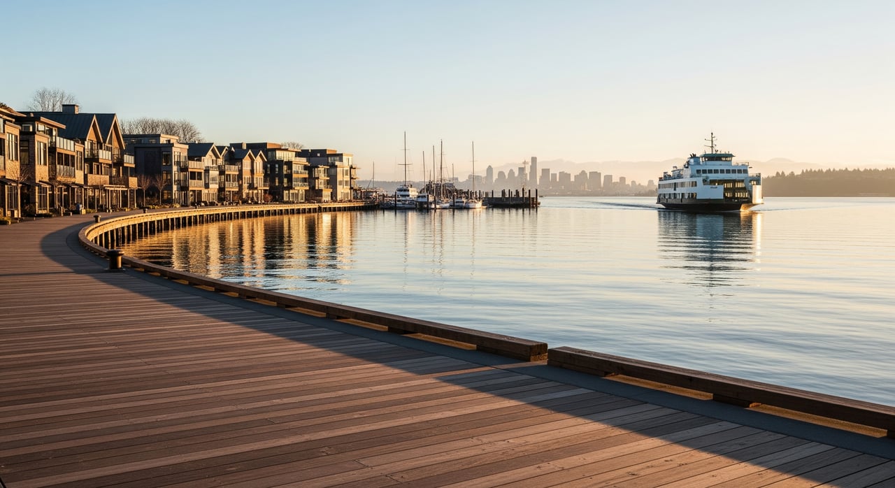
The Lost Valley Trail opened on October 1. It completes a walking route of about 6.8 miles from the Bainbridge ferry terminal to the beach at Schel Chelb, near Lynwood Center. You can't drive to its trailheads. The Bainbridge Island Parks & Trails Foundation says none of the four Lost Valley access points has public parking, and you have to reach the trail on foot or by bike. The island's longest one-way trail route starts at a ferry dock and ends at a bus stop.
So it's best planned as a whole day without a car. The real questions are where you start, where you stop, and how you get home.
Four Trailheads, No Parking Spaces
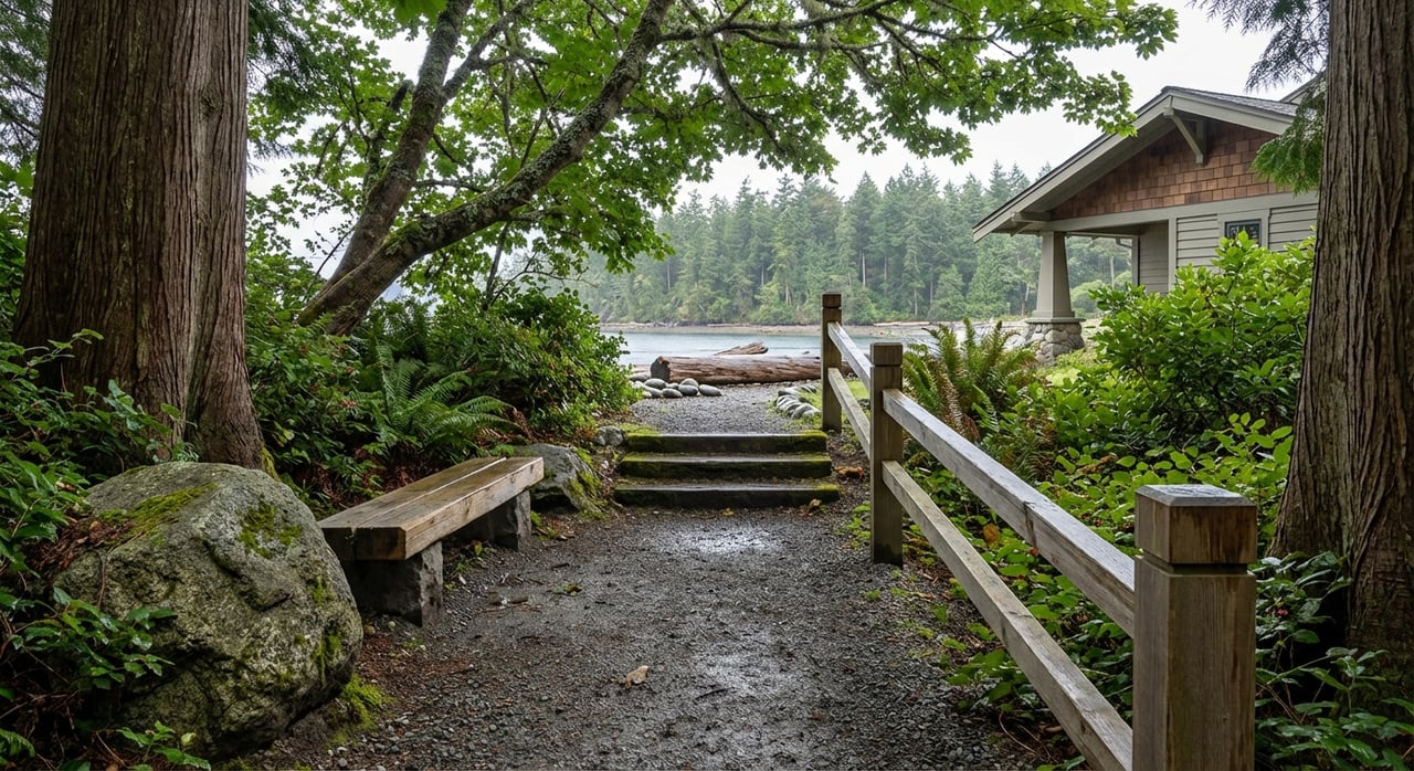
The Lost Valley section is a mostly wooded mile across 40 acres of city-owned open space. It runs from the Head of the Bay to Fletcher Bay Road and includes 200 feet of boardwalk that protects the Cooper Creek watershed and keeps the trail usable year-round. Its trailheads are:
- Head of the Bay: the lane just west of where Wyatt Way meets NE Eagle Harbor Drive
- Carmella Lane: off Finch Road
- Ridge Lane: at the north end
- Fletcher Bay Road: on the east side, north of Vincent Road
Look for the "Public Trail" signs.
Even the opening ceremony had no parking. For the October 1 dedication, organizers sent people to the lower lot behind St. Barnabas Episcopal Church off Gowen Place, a one-day arrangement. From there they walked down Wyatt Way to the gravel lane north of the Dahlia Stand. Others parked at Rotary Park on Weaver Road and took a shuttle.
The Foundation also notes that the terrain may not work for wheeled mobility devices. The City's ADA Coordinator handles accessibility questions and accommodation requests at [email protected].
The Route, East to West
There are two ways to do it. From Rotary Park on Weaver Road, you can walk about 5.1 miles without a break in the trail, through Lost Valley and Gazzam Lake Nature Preserve to Schel Chelb beach. Starting at the ferry terminal adds stretches of the Charles Schmid Waterfront Trail in Winslow and brings the total to nearly 6.8 miles. In order, the main pieces are:
- Charles Schmid Waterfront Trail. You leave from the terminal. A pedestrian stair climbs from the Waterfront Trail into Waypoint Woods, a 0.1-mile wooded connector with small loops.
- Winslow connectors to the Head of the Bay. The Foundation's cross-island map marks Rotary Park and Owen's Playground, Moritani Preserve and the Strawberry Plant, and roads including Finch, Wyatt Way, Shepard Way, Winslow Way East, Blue Sky, Marshall and Ridge Lane along the way. Bring the map. It's the clearest guide to this middle section, and the published materials don't give turn-by-turn directions.
- Lost Valley Trail. This is the new mile, from the Head of the Bay to Fletcher Bay Road, including the boardwalk.
- Kojima Trail. It carries the route farther west.
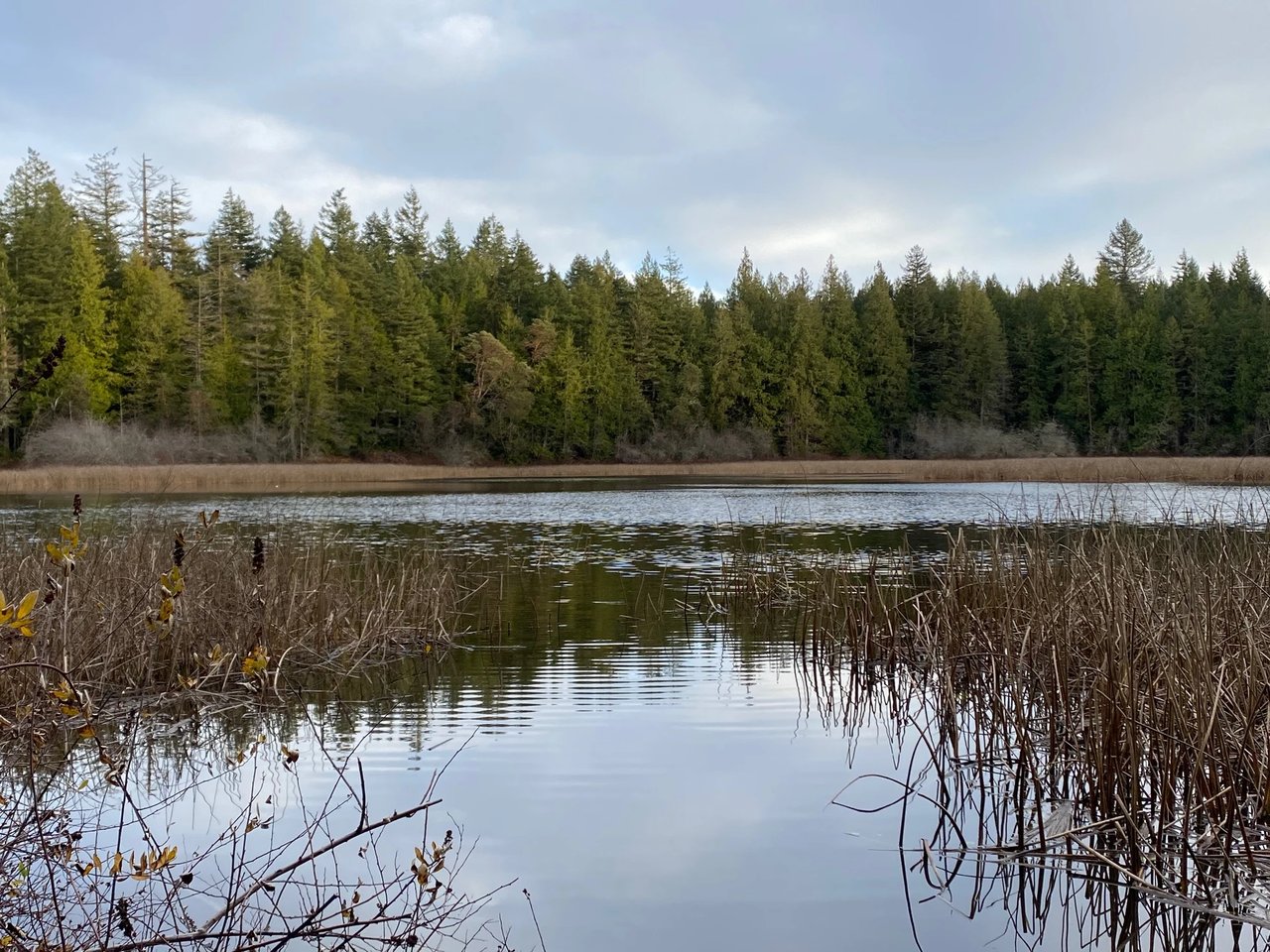
- Vincent Road to Gazzam Lake Trail. This half mile opened in January. It runs from a roadside trailhead just past the transfer station driveway to the northeast corner of Gazzam Lake Preserve, off the lake-loop trail.
- Gazzam Lake to the water. The Peters Trail ends at Listening Lane. From there you continue south to Baker Hill Road and pick up the Schel Chelb Trail, which runs down to Point White Drive and ends at the public beach.
Before this route, the island's longest one-way trail ran from Manitou west through Grand Forest to Battle Point Park and the Fairy Dell Trail, a distance of 4.69 miles. Lost Valley also takes the island past 50 miles of public trails.
Why the Middle Mile Took Thirty Years
Lost Valley got its name in 2004. That year the city used Open Space Bond funds to buy three properties and four trail easements at the Head of the Bay. The Open Space Commission chose the name for the land's valley-like terrain, unspoiled character and sense of remoteness. For years after that, people wore informal paths through the property, but the route was never formally improved or adopted. In 2022 the Parks & Trails Foundation offered to fund the trail, and the Park District signed an interlocal agreement to build trails on city land. The boardwalk was the last piece. The Park District and its Summer Trails Crew finished it this past summer, with grants from Bainbridge Community Foundation and the Rotary Club of Bainbridge Island.
"A lot of pieces had to fit together over many years, but now we have a new trail route right across the island," said Mary Meier, executive director of the Parks & Trails Foundation.
Neighbors supplied pieces too. The Vincent Road connector exists because two neighboring owners granted easements. One pair, Mark and Diane Julian, walk Gazzam Lake regularly and gave an easement along their Vincent Road property. "It's interesting, the curves, the bridge, the maples, the whole area is nice. It feels like a special trail," Diane Julian told the Foundation. That connector's boardwalk was built on pin piles, a method the Foundation paid for in 2018 that has also gone into the boardwalks at Sakai and Hawley Cove parks and along the Old Mill Trail.
Where the Walk Ends
Schel Chelb Park is on Point White Drive west of Lynwood Center. It covers 1.6 acres of shoreline, with a swimming beach and a playground. The Park District lists it at 7595 Heron Hall Lane NE.
The name comes from the estuary next to it. Gale Cool, an island builder who later called himself an "undeveloper," led the creation of the Schel-chelb estuary on the south end after WSDOT agreed to fund it as wetland mitigation. In the years that followed, salmon came back to spawn and birders came to watch. According to his 2019 obituary in the Bainbridge Island Review, Cool named the estuary for Suquamish Chief K'cap, or Kitsap. The obituary also says Schel-chelb was the name of a nearby village and means "bringing-it-home" in the Salish language.
Lynwood Center is just east of the beach, so you can stop there before heading home. Treehouse Café and Marketplace + By The Glass both have October 2026 events on their calendars.
Getting Back to Winslow
The ride back takes the most planning, because you won't have a car waiting. Kitsap Transit serves Lynwood Center several ways, and the right one depends on the day:
| Day | Service | Hours | Notes |
|---|---|---|---|
| Weekdays | BI Ride, on demand | 8:45 a.m. to 3:30 p.m. | Last ferry terminal pickup 3:15 p.m., drop-off 3:50 p.m. |
| Saturday | BI Ride, on demand | 9 a.m. to 7 p.m. | Trips after 4 p.m. must be booked in the app; the 7 p.m. close runs through March 2027 |
| Sunday | Sunday on-demand bus | 8 a.m. to 4 p.m. | Lynwood Center is in the service area; book up to seven days ahead |
| Weekdays | Route 397, Crystal Springs | Fixed schedule | Lynwood-to-ferry trips run only in the early morning |
BI Ride costs $2 one way for adults and $1 at the reduced fare, and it's free for riders 18 and under. You can pay with Pingo, exact cash, a contactless card, ORCA or Transit GO. The Sunday service charges the same fares.
Route 397 also opens up the opposite plan. Its afternoon trips run from the ferry terminal out to Lynwood Center, so on a weekday you can ride out and walk back east toward Winslow. On a Saturday in October, the later BI Ride hours leave the most room for a slow walk with lunch at the end. If you're walking on a weekday, keep the 3:15 p.m. terminal pickup and 3:30 p.m. end of service in mind. Kitsap Transit's current North Kitsap and Bainbridge schedule booklet took effect September 13, 2026, so check the Kitsap Transit site the morning you go.
Kim and Jack at McLaughlin & Co have been watching this route come together, one connector at a time, for a long while. If you'd like to compare notes on the Lost Valley boardwalk or on which end makes the better start, we'd love to meet for coffee in Winslow before you head out.