
Ask most Bainbridge Islanders where the Cross Island Trail starts and you'll get the same answer: Battle Point Park. It's the big lot, the clearly marked kiosk, the place with room for a dozen cars and a bathroom nearby. It makes sense as an answer. It's also wrong.
The trail's official eastern start is a parking area at Manitou Beach that most people would drive past without a second glance. Three regular spaces and one accessible spot, tucked across the street from a beach so small it barely registers on a map. If you've ever walked the boardwalk sections of the Cross Island Trail and wondered why the eastern approach felt more improvised than the western one, this is why. You started in the middle of the story without realizing it.
The Lot Nobody Notices
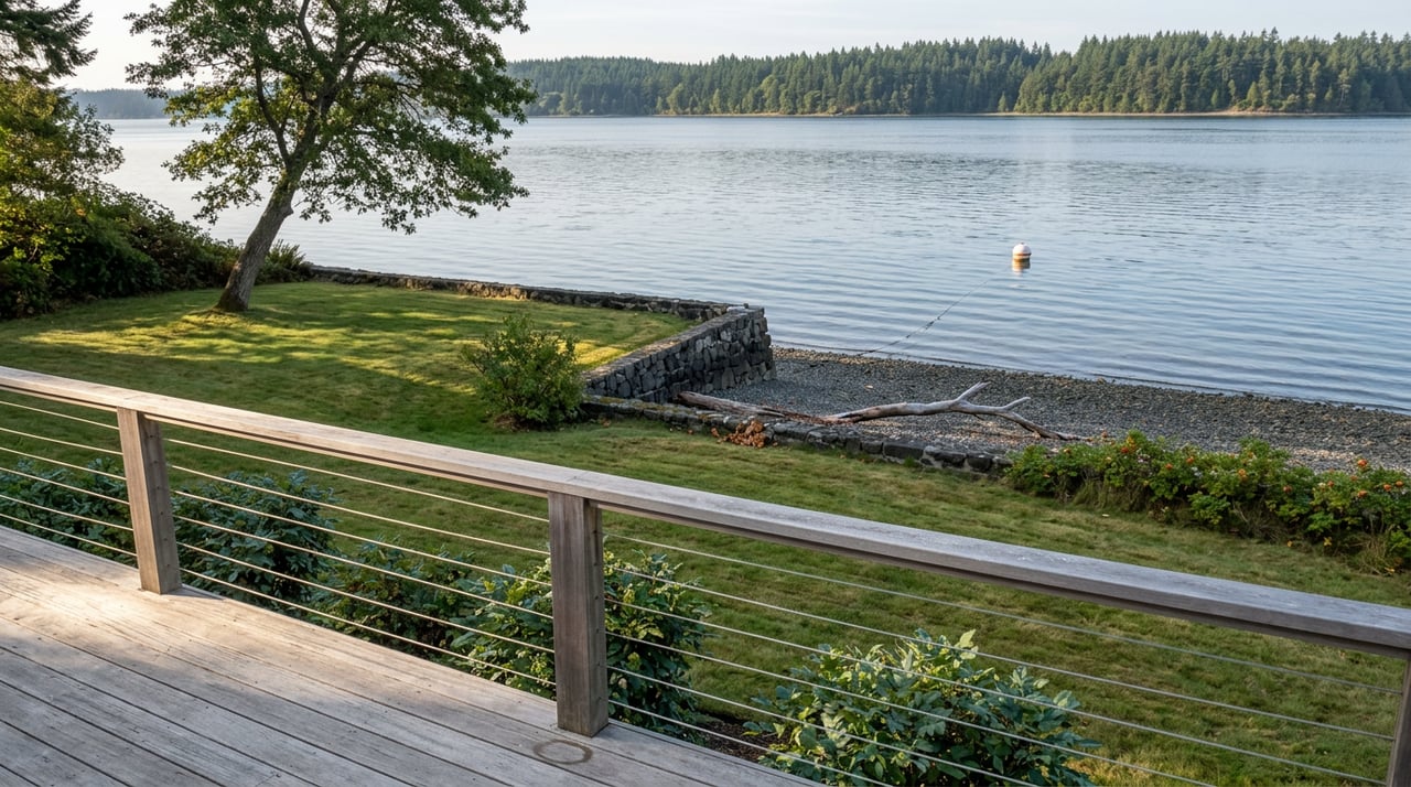
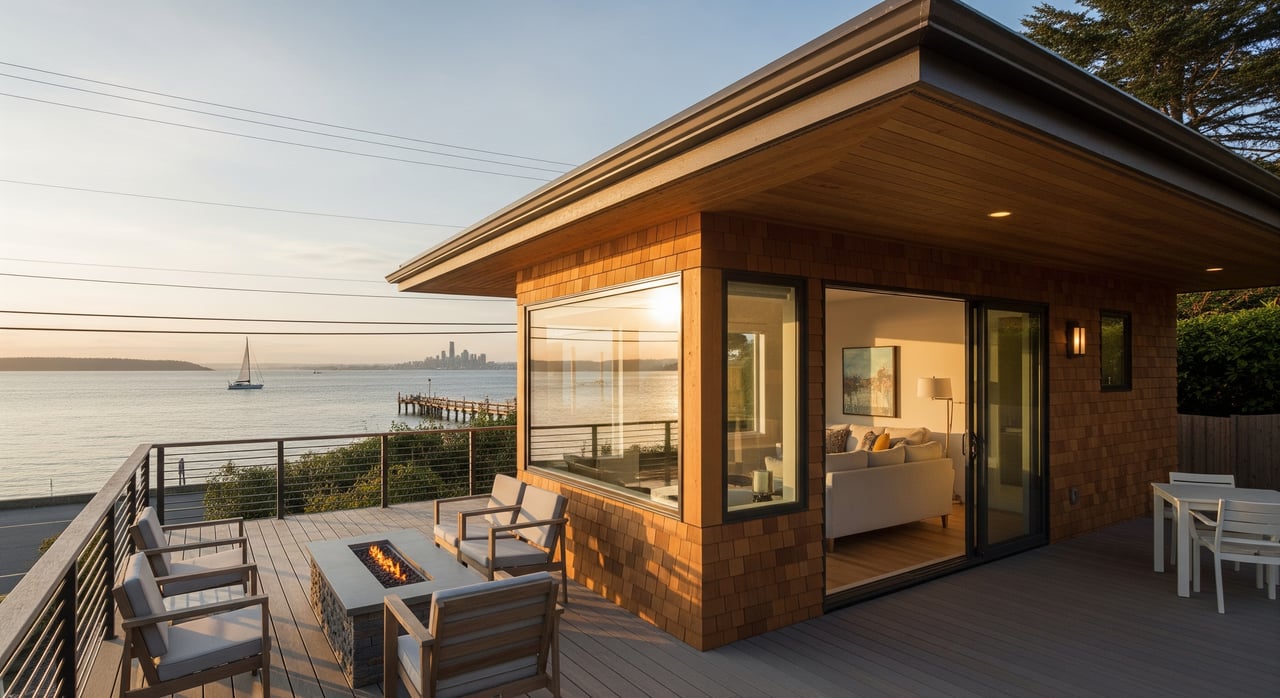
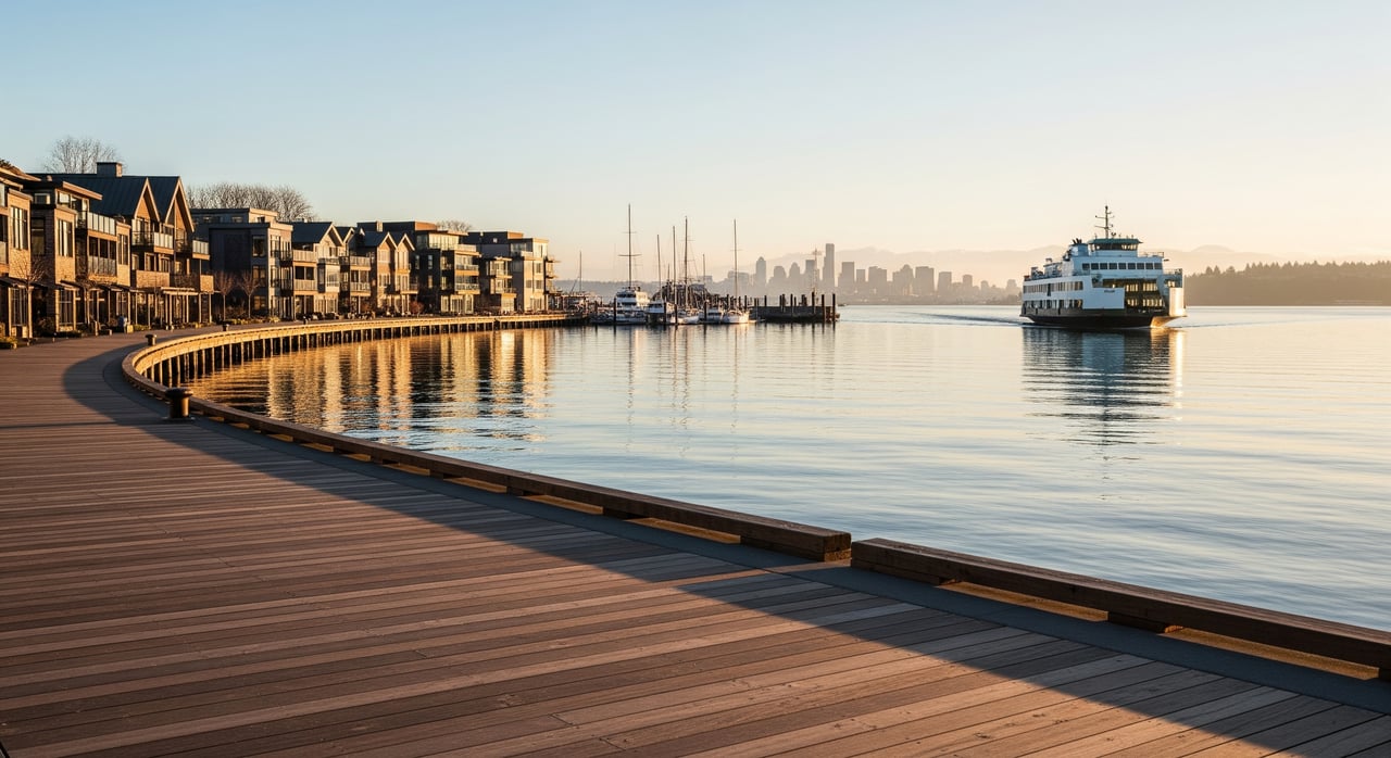
The park itself is easy to miss on purpose. Bainbridge Island Metro Parks lists Manitou Beach at just under an acre, with 210 linear feet of shoreline and parking across the street on the uplands side. That's the entire footprint. No playground, no restroom building, no picnic shelter competing for attention. What it has instead is a beach access point with open views of the Seattle skyline and Mount Rainier on a clear day, and a role in the island's trail network that its size gives no hint of.
The rules posted for the park are the same ones you'd expect at any small neighborhood green space: dogs on leash at all times, no alcohol, no fires or fireworks, no disturbing the wildlife, no vehicles outside the designated parking. Nothing unusual there. What's unusual is what happens when you leave the park and turn toward the trail.
Crossing Before You Can Walk
To actually get onto the Cross Island Trail from Manitou Beach, you cross Highway 305. Trail guides that document this route specifically flag the crossing as something to handle with care, not because it's dangerous in a dramatic sense, but because it's the kind of ordinary hazard that catches people who assumed the trailhead would simply be a trailhead. You park, you walk a few hundred yards, and then you're standing at a highway crossing before you've covered your first quarter mile.
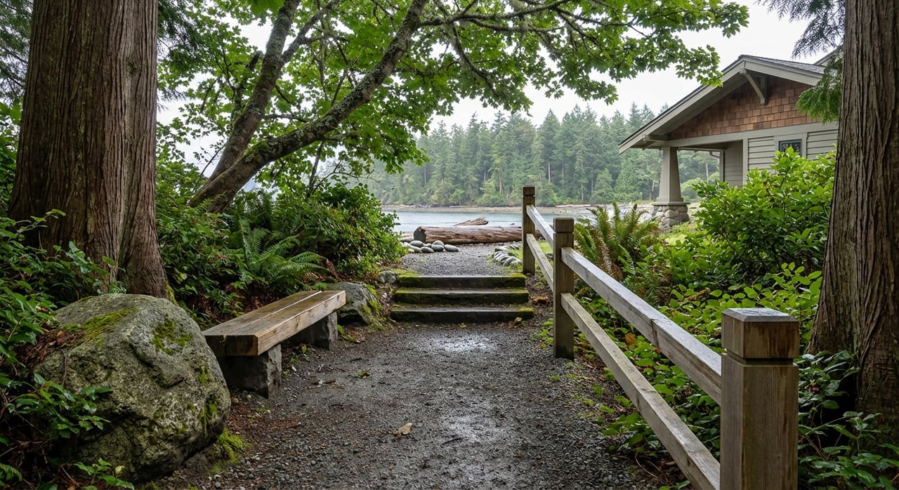
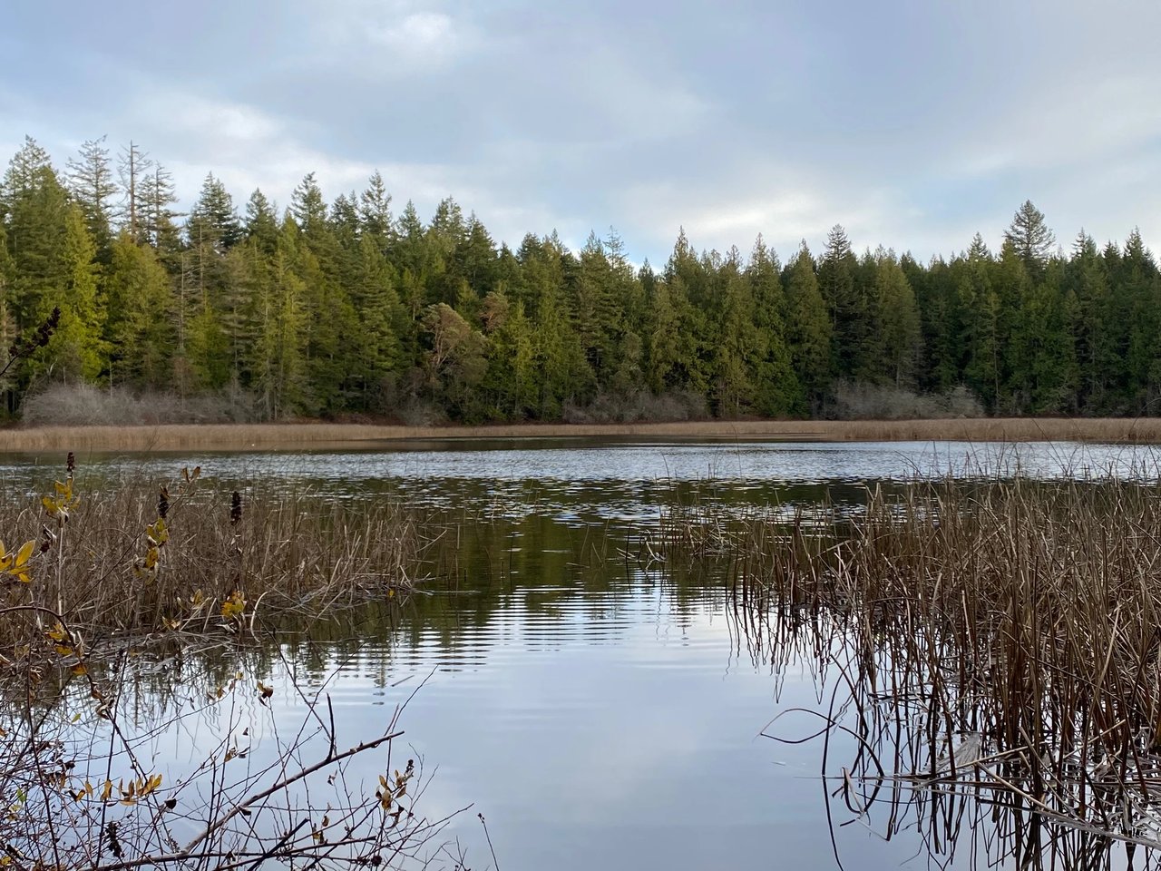
Once you're across, the trail changes character almost immediately. It settles into a boardwalk that floats over wetlands, running east to west through the middle of the island rather than tracing its shoreline. This is the connective tissue most Bainbridge hikers never think about because they enter it from the more obvious western access points. Coming from Manitou Beach, you experience the trail in the order it was actually built to be walked.
What the Boardwalk Connects
The Cross Island Trail shares segments with the McRedmond, Hilltop, and Forest to Sky trails as it crosses the island, threading through Battle Point Park and Grand Forest West before ending at the close of the Fairy Dell Trail, where the westside parking lot everyone assumes is the starting point actually sits. Point to point, the route covers 4.4 miles with about 557 feet of elevation gain, a moderate walk that trail trackers estimate takes just under two hours to complete end to end.
That framing matters for how you plan a walk from this side of the island. Starting at Manitou Beach means you're doing the crossing and the early wetland boardwalk while you're fresh, then working through Grand Forest West and into Battle Point Park as the walk builds. Starting at Battle Point Park, as most people do, means you finish at the highway crossing rather than beginning there. Neither way is wrong. But only one of them is how the trail is actually signed.
The stretch is not heavily trafficked. Reviews of the route consistently note how few other people you'll encounter along the way, which tracks with a trail that begins at a lot most residents don't know exists. If you've been looking for a walk on this side of the island that doesn't compete with the more popular loops near Grand Forest East or Gazzam Lake, this one has been sitting at the edge of the neighborhood the entire time.
Two Views, One Trail
Part of what makes the Manitou Beach end worth the crossing is the payoff on both sides of the walk. The eastern approach opens onto the same Seattle skyline and Mount Rainier views the park itself is known for. The western end, near Battle Point Park, delivers its own version of the same vista as the trail exits the tree line. Walk it in either direction and you get bookended views of the water and the mountains without needing to drive to a lookout point. The middle of the walk, by contrast, is almost entirely forest and wetland boardwalk, which is part of why the trail feels longer and quieter than its mileage suggests.
For a neighborhood that sits between Winslow and Rolling Bay, this dual identity fits. Manitou Beach has never really operated as a standalone destination the way some of the island's beaches do. It was originally a summer getaway in the early twentieth century, and the historic homes still line the shoreline near the water access. What's changed is less the neighborhood itself than what people expect from it. Residents treat it as a pass-through as often as a destination: the place you launch a paddle from, the place you check the tide from your car window on the way to Rolling Bay, and now, if you know to look for the small lot across the street, the place you start a walk that ends four and a half miles later on the opposite side of the island.
A Beach That Doubles as a Doorway
None of this changes what Manitou Beach is on a quiet Tuesday morning: a small, low-key stretch of shoreline where you can watch the light shift over the water without much company. What it adds is a second identity that most people never connect to the first. The same acre of park that holds four parking spaces and a leash rule is also the front door to one of the longer trail systems on the island, and it's been that way long enough that the trail guides treat it as fact rather than trivia.
If you've lived here for years and always assumed the Cross Island Trail started somewhere near Battle Point Park, you're not wrong about where it ends. You've just been walking it backward. Next time you're looking for a reason to leave the car at Manitou Beach a little longer, the crosswalk on 305 is right there waiting, and so is the rest of the island on the other side of it.
If Manitou Beach's quieter rhythm, its water access, or its place between Rolling Bay and Winslow has you thinking about what it would take to call this stretch of the island home, McLaughlin & Co knows this neighborhood block by block. Make time for coffee. We'll talk through what living here actually looks like, trail crossings included.
This article is general information, not legal, tax or financial advice. Consult a qualified professional about your situation.