Look at a map of Bainbridge Island and Point White reads like a full stop. It sits at the southwest tip, water on three sides, the kind of address that suggests you've driven as far as the island lets you go. Anyone who actually lives here knows better. This is the spot where a historic ferry landing still pulls people into the water every summer, where a beach trail just got longer, and where the island's biggest volunteer swim has quietly used this shoreline as a checkpoint for years. The point isn't a dead end. It's a junction that happens to have water on both sides.
The Pier That Outlived Its Original Job
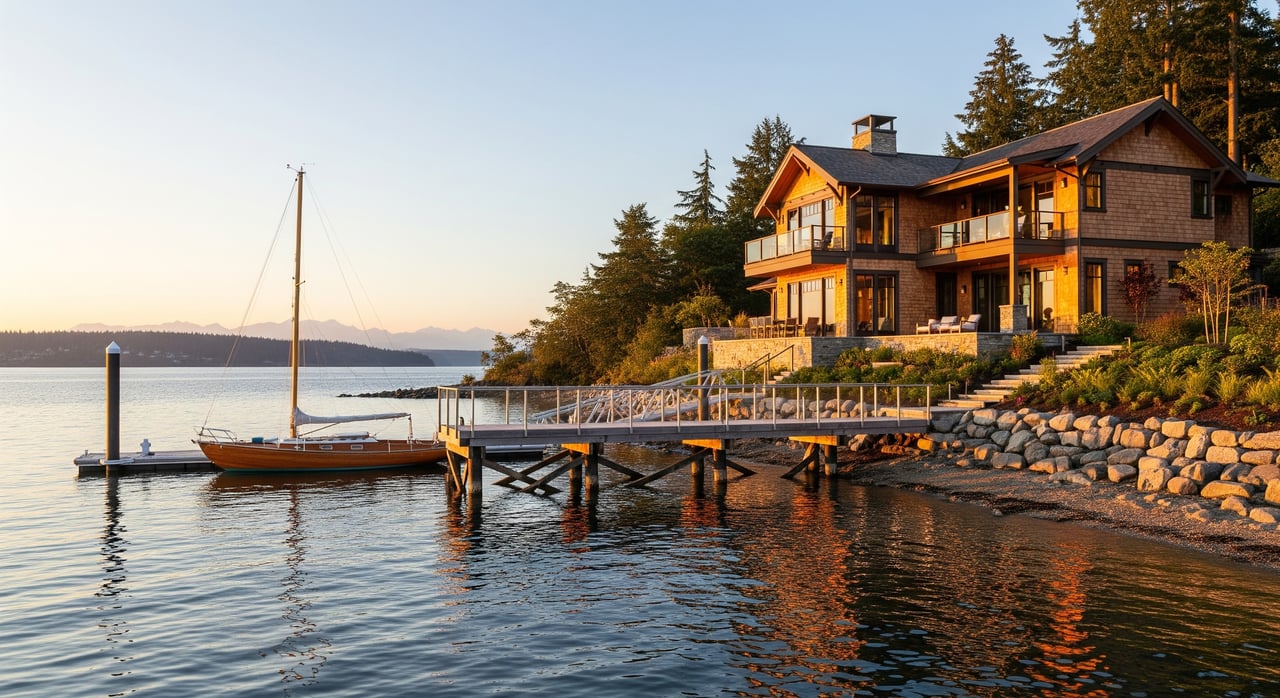
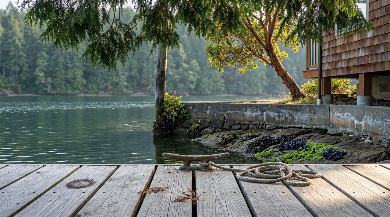
Point White Pier has never really stopped working, it just changed careers. Between 1910 and 1972, with a gap in the middle, it served as a steamer stop for the Mosquito Fleet, and from 1942 to 1950 it operated as a ferry dock. Today the same 100-foot span does something less practical and arguably more valuable to the neighborhood: it's where people jump.
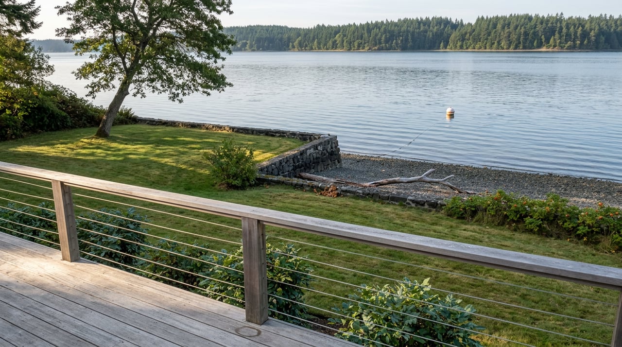
The pier itself sits on a 0.3-acre waterfront park with a ladder at the far end, built for exactly what generations of islanders have used it for. Fishing, sunbathing, and the specific ritual of checking the tide before you commit to a jump. Low tide turns the same water into a tidepooling spot, with crabs and other small marine life visible in the shallows once the water pulls back. Fifteen parking spots sit at the lot, which tells you something about scale. This isn't a destination beach with a snack bar and a lifeguard stand. It's a neighborhood dock that happens to carry a hundred years of maritime history under the same worn boards where kids do cannonballs on a July afternoon.
A Trail Ties the Pier to the Beach a Half-Mile North
Walk or bike north along Point White Drive and you hit Schel Chelb Park, a small waterfront park with a children's playground and a swimming beach that gives the neighborhood a second, gentler kind of water access than the pier's ladder-and-jump setup. Where the pier rewards a bit of nerve, Schel Chelb is built for the version of summer that involves a beach towel and a kid who isn't ready to jump off anything yet.
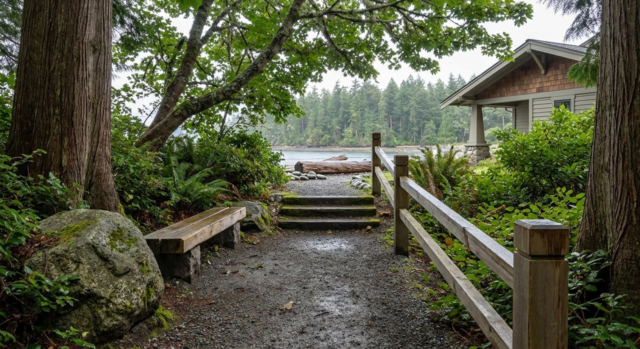
What makes Schel Chelb more than a nice beach is what leaves from its far edge. A trail connects directly into the Gazzam Lake trail network, the island's second-largest undeveloped tract at roughly 444 acres of upland forest and wetland, purchased by island voters through a 1995 bond measure specifically to keep it that way. So the same walk that starts at a swimming beach with a playground can end, twenty minutes later, in second-growth forest with almost no sign you left the water behind.
The Trail Got Longer This Past January
Here's the part that changes how you should think about this neighborhood. On January 22, 2026, the Bainbridge Island Metro Parks and Recreation District and the BI Parks and Trails Foundation cut the ribbon on a new segment called the Vincent to Gazzam Trail, built as part of a broader cross-island trail-connection plan. About 45 people showed up for the opening. The new stretch starts near the city's transfer station off NE Vincent Road, skirts city property, and ties into the existing trail network on the preserve's east side, crossing Schel-Chelb Creek on a newly built wooden bridge with metal tread for traction.
What that means in practice is that the walking network reachable from Point White's own beach just got measurably bigger. Trail organizers involved in the project estimated the connection now puts Winslow within roughly three and a half to four miles of Gazzam Lake on foot, one way. Point White isn't just adjacent to this system. Its beach trail is one of the entry points into it. Here's how the pieces fit together, from the water inland:
- Schel Chelb Trail runs from Baker Hill Road to Point White Drive near Lynwood Center, ending right at the Schel Chelb playground and beach.
- Peters Trail descends from the Deerpath Lane NE trailhead through forested hillside down to Listening Lane, connecting to the Schel Chelb Trail a couple hundred feet away on Baker Hill Road.
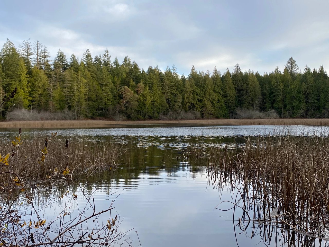
- Gazzam Lake Trail forms the backbone of the preserve, a 1.4-mile main route between two trailheads, with a 0.6-mile loop spur, running past the lake itself, a 13-acre freshwater wetland.
- Vincent to Gazzam Trail (new as of January 2026) extends the network's reach toward the island's center, linking to the transfer station area off NE Vincent Road.
A neighborhood that looks isolated on a map turns out to be the beachfront terminus of a trail system that keeps growing toward the middle of the island.
One Saturday a Year, the Whole Island Swims Past
The water side works the same way. Every August, Arms Around Bainbridge, an island nonprofit founded in 2007 by seven friends supporting one of their own through ovarian cancer treatment, holds its Around-the-Island Swim Relay. This year's edition, the 20th, happened on August 1, 2026, with 53 swimmers covering the roughly 28.65 miles around the island's coastline in relay legs, entering and exiting the water at access points spaced one to four miles apart. Kayakers and paddleboarders escort every swimmer, and larger boats trail the group for safety. Over its history, the nonprofit has distributed more than $1 million to island residents facing financial hardship from serious illness, covering things like rent, groceries, and ferry fare to medical appointments in Seattle.
Point White Pier has served as one of these water access points in past editions of the relay, a functional role for a spot that looks purely recreational the other 364 days of the year. This year's relay started and finished at Pleasant Beach with a celebration at Treehouse Café, but the route still worked its way past the island's shoreline neighborhoods the way it always has, using docks and beaches like Point White's as the places where a swimmer gets out, catches their breath, and lets the next leg begin.
Heather Burger, who has taken part in 19 of the relay's 20 years and served as one of the organization's early board members, put it simply after this year's swim wrapped:
"The water can be rough, dark, cold and scary, but you're never alone."
That's not a bad description of what the pier itself represents to people who live nearby. It's a place you use because it's yours, not because it's been dressed up for anyone passing through.
Why the Tip of the Point Keeps Being the Middle of Things
Put the pieces next to each other and the shape of the neighborhood changes. A pier built for early- and mid-20th-century steamer and ferry traffic has, in past editions, doubled as an entry point for a swim relay that has moved more than $1 million toward neighbors in crisis. A beach built for kids and playground afternoons feeds directly into a trail system that just got longer and now reaches within a few miles of Winslow on foot. None of this required Point White to become something else. It just kept doing what it has always done, which is sit at the water's edge and let people come and go from there.
That's the version of this place that doesn't show up on a real estate map or a tourist guide. It shows up in the tide charts people check before a jump, the trail maps that got updated in January, and the neighbors who keep this shoreline in rotation as one of the relay's stops.
If you're already living this rhythm, you know it. If you're weighing what it would mean to make Point White home, McLaughlin & Co can walk you through the parts that don't show up in listing photos, from tide timing at the pier to which trailhead has parking on a busy Saturday. Make time for coffee. Schedule a consultation with McLaughlin & Co.