Drive up Toe Jam Hill Road from South Beach and you will feel it before you see anything worth stopping for. The grade tightens fast, the kind of climb that has bicyclists downshifting and dog walkers reconsidering the route home. Near the top, easy to miss if you are watching the road instead of the shoulder, there is a small brown sign and exactly one parking space. That space belongs to Nute's Pond Park, 33 acres of forest and wetland that most people who live a five minute drive away have never set foot in.
Access to the park has been limited, and that changed in a real way in 2025.
The Hill Earned Its Reputation Honestly
Locals still argue about where Toe Jam Hill got its name. One version credits an early settler named Torjam. Another leans into the obvious joke about what happens to your feet on the way up. The island's local historical society has favored the settler story, but even that account gets filed under conjecture more often than fact.
What is not in dispute is the elevation. At 425 feet, Toe Jam Hill is generally recognized as the high point on Bainbridge Island and one of the highest points in Kitsap County. For years, older USGS maps built from aerial photography actually credited a different hill, Gazzam Lake Hill, with that title. It took newer LIDAR surveys, laser-based elevation data far more precise than photographic estimates, to settle the question and push Toe Jam Hill ahead by roughly 15 feet. The hill did not get taller. The measurement finally caught up to it.
For decades this climb has doubled as a proving ground. Cascade Bicycle Club riders have treated it as the villain of the Chilly Hilly season opener, and it once lent its name outright to a half marathon before that race was rebranded. If you live on South Beach Drive or anywhere along that stretch, you already know Toe Jam Hill is not a metaphor. It is the wall between your neighborhood and everything on the other side of it.
How Access to the Park Changed
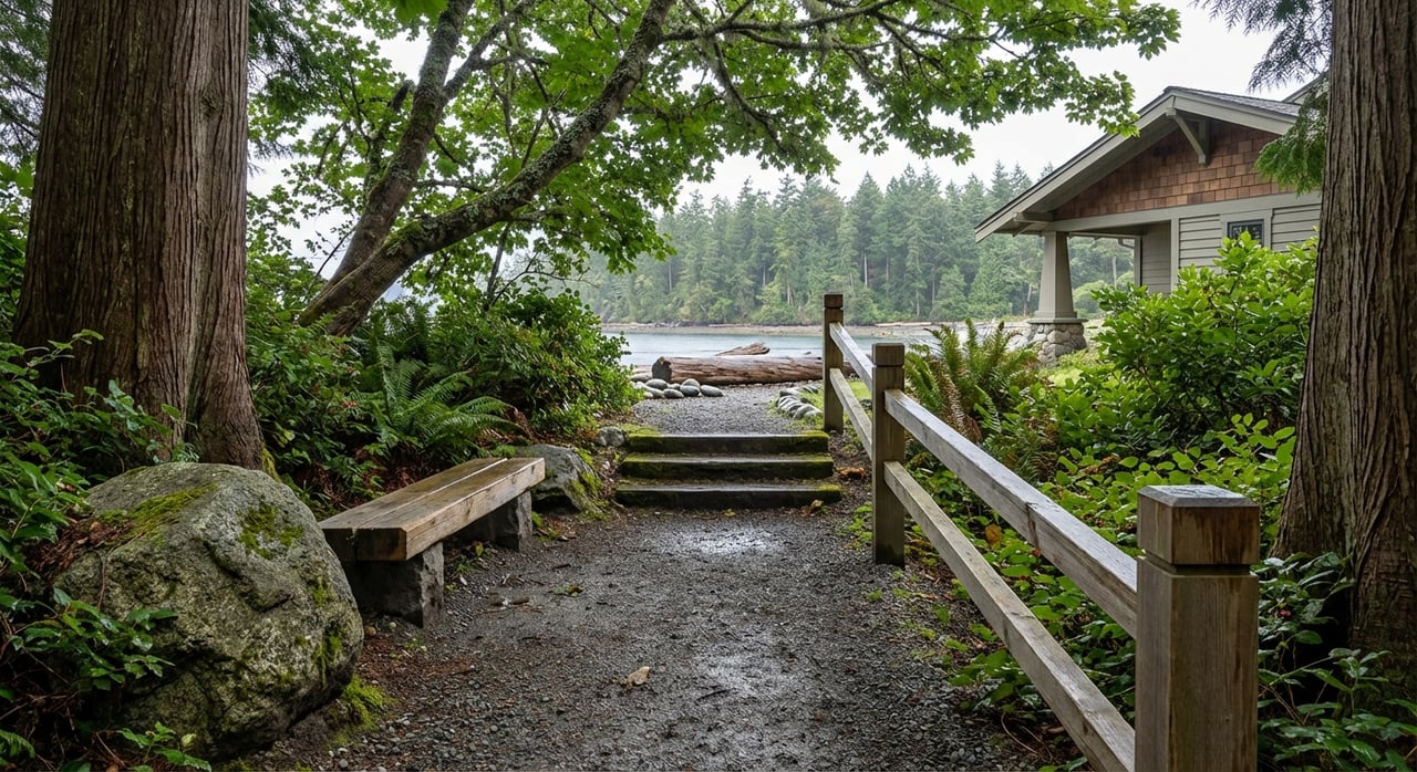
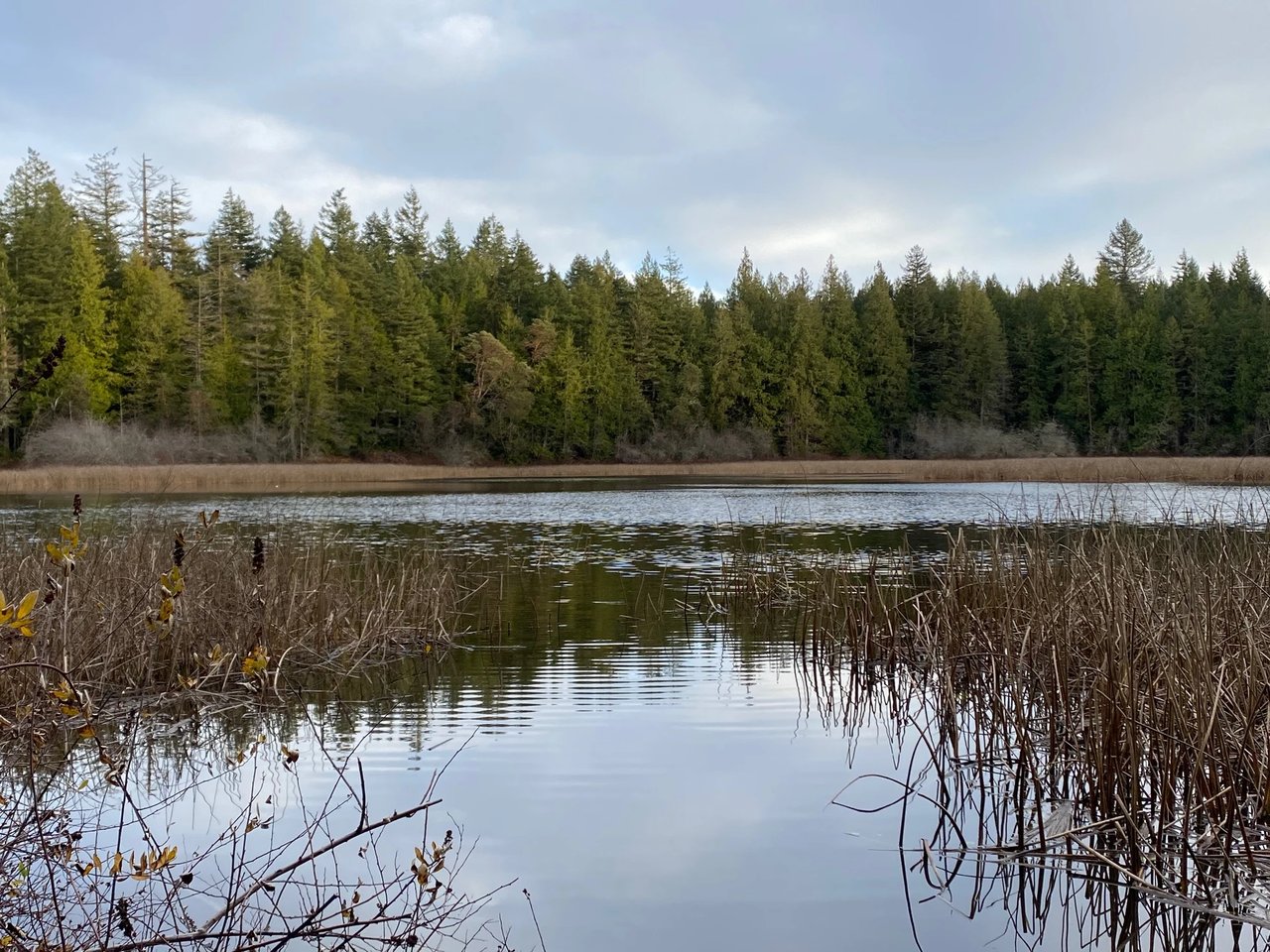
Nute's Pond Park was created in 2006, the nineteenth property purchased under the City of Bainbridge Island's 2001 Open Space Bond. It holds an 11 acre freshwater pond, a wooded loop trail, and a handful of benches where the loudest thing you will hear is wind moving through the canopy. It was designated as passive open space from the start, with no ballfields or playground.
That designation had a practical consequence. The only formal parking has been a single space on Toe Jam Hill Road. Two other access points existed on paper: a trailhead off Bolero Drive, where there has never been any parking in the neighborhood, and a longer route through Blakely Harbor Park via Country Club Road. Neither made the park easy to reach on a whim. If you did not already know the trail was there, or if the one parking spot was taken, the practical answer was to keep driving.
Limited access helps explain why Nute's Pond can be easy to miss. Its routes are less obvious to visitors who do not already know where to look.
The Dam That Predates the Park by a Century
Long before the city bought the land, the pond was already doing work. A small concrete dam and spillway near the water's edge was built roughly a hundred years ago by a man named Arthur Packard Nute, who used it to collect fresh water and pipe it downhill to homes on what is now called Beans Bight, once known locally as Poverty Flats.
James Docter, whose family has ties to Beans Bight, put it simply when the Bainbridge Island Parks & Trails Foundation asked about the pond's namesake: "Arthur Packard Nute was my mother's father." The dam still stands, one of the few visible signs that this quiet patch of forest once did practical, unglamorous work for the people living below it.
What Actually Changed in 2025
The Parks & Trails Foundation has spent recent years running a campaign called Trails Connect Bainbridge Island, building short connector trails designed to link existing green spaces without requiring new roads or new parking lots. The second trail completed under that campaign was the Sunny Hill to Nute's Pond Trail, a 0.3 mile path built with extensive boardwalks over wet and sensitive ground, linking the existing Sunny Hill Trail south of Country Club Road directly into Nute's Pond park.
The trail opened with a dedication walk that drew about 30 neighbors, a modest number that tells you something about how local this park has always felt. Steve Matthews, the Foundation's board president, described the philosophy behind the effort this way: "Trails are physical, on-the-ground connectors."
That sentence captures the idea behind the effort. The new trail adds a connection to a park with limited vehicle access. The terrain and the wetland buffers around the pond limit vehicle infrastructure, while the trail provides another way to reach the park on foot.
There are now three practical ways to reach Nute's Pond on foot, and none of them depend on that single parking space being open:
- Walk in from Bolero Drive, where the original trailhead sits, understanding there is still no parking in that neighborhood
- Park at Blakely Harbor Park and walk east on Country Club Road to the Toe Jam Hill trailhead
- Pick up the new Sunny Hill to Nute's Pond Trail south of Country Club Road, a quieter wooded connector with boardwalks through the wetland sections
These routes take time, but each offers a way to reach the park on foot.
Why This Is Worth Knowing If You Already Live Here
If you live in South Beach or along Beans Bight, this is not a park you need to plan a trip around. It is a fifteen or twenty minute walk from a lot of front doors, once you know which route to take. The loop through the park itself runs about 1.5 miles with very little elevation gain once you have already done the hard climbing to get there, which makes it a reasonable option for a slow morning with a dog or a quiet stretch before the day gets going.
Unlike Fort Ward Park down the road and the more visible shoreline parks along South Beach Drive, Nute's Pond is less visible and has routes that can take local knowledge to find. The 2025 trail work did not change the park itself; it added another way to reach it without relying on the single parking space.
Once there, the wooded loop and old dam offer a quiet reason to linger. If you have lived on this end of the island for years and never made it up to the pond, the added route may make a visit more convenient.
If you are the kind of person who likes knowing why a neighborhood works the way it does, whether that is a trail connection, a water right from a hundred years ago, or the reason one particular hill has been kicking cyclists' shins since before anyone thought to measure it properly, that is exactly the kind of detail Kimberly and Jack McLaughlin likes to talk through. Make time for coffee. We will bring the map.